
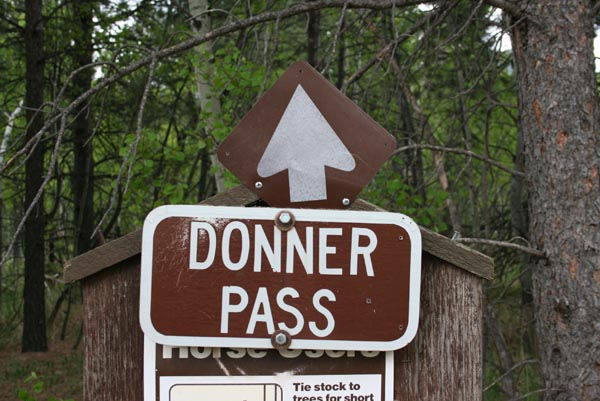
Donner Pass
|
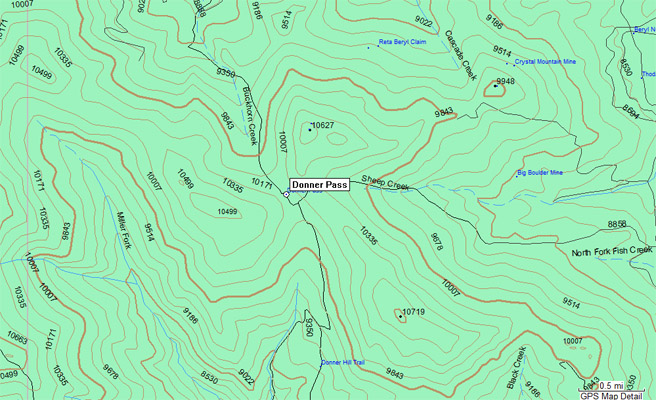
Donner Pass |
Donner Pass - Larimer County - Colorado - 10,100 feet
Buckhorn Creek to north. Miller Creek to south.
Northwest of Loveland and Masonville off CR-44H (Buckhorn Canyon Rd) and CR-129 (Ballard Rd).
hiking trail
photos by Randy Bishop, 6/2/2012
The trailhead on CR-44 near the Buckhorn Ranger Station. |
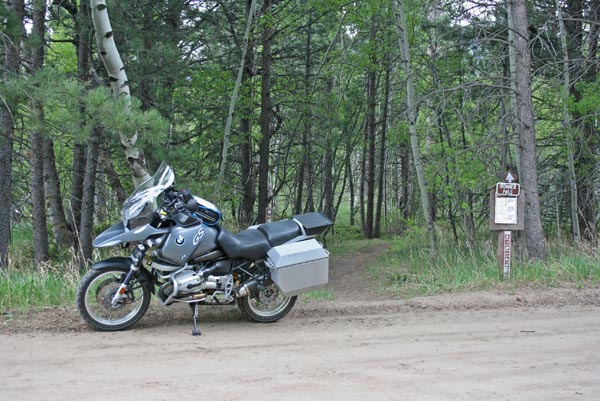
Hikers, skiers, equestrians, bicyclists, motorcyclists, and snow mobilers OK |
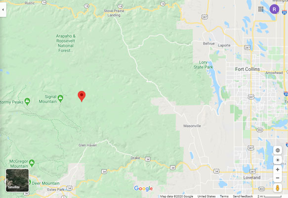
Google Maps |
Google Maps |
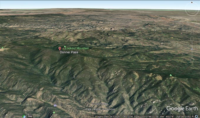
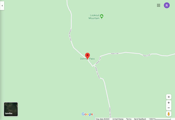
Google Earth |
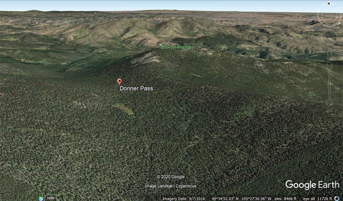
Google Earth |
Garmin Mapsource |
| Feature Name | ID | Class | County | State | Latitude | Longitude | Ele(ft) | Map | BGN Date | Entry Date |
| Donner Pass | 177335 | Gap | Larimer | CO | 403138N | 1052747W | 10115 | Crystal Mountain | - | 13-OCT-1978 |