
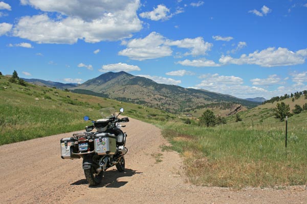
Dowe Pass
|
Dowe Pass |
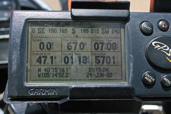
Dowe Pass - Larimer County - Colorado - 5,701 feet
Little Thompson River to north. Saint Vrain Creek to south.
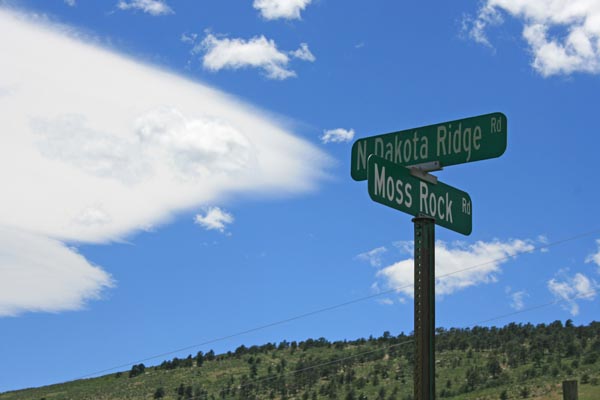
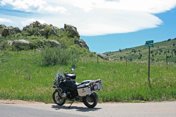
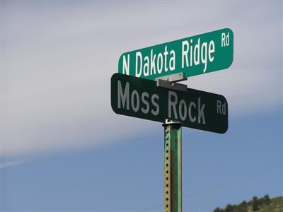
On Dakota Ridge Road northeast of Lyons.
paved - road bike
photos by Randy Bishp, 6/24/2020
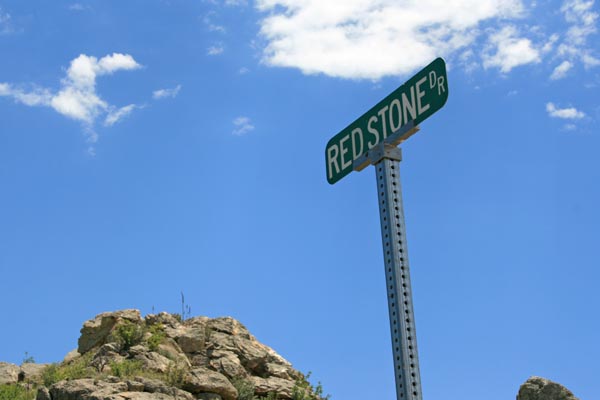
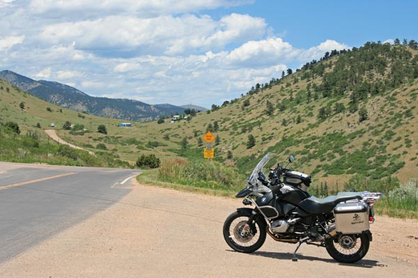
At the summit. |
At the summit, looking north. |
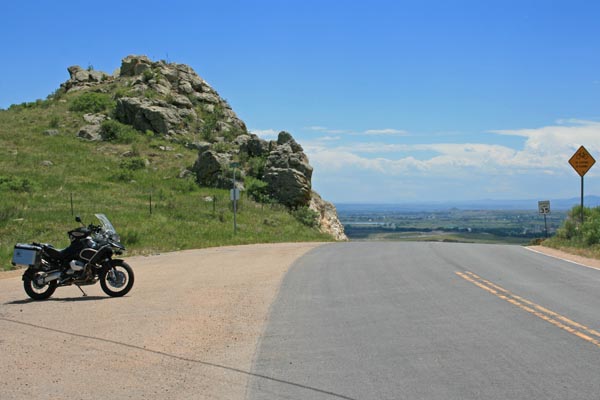
At the summit, looking south. |
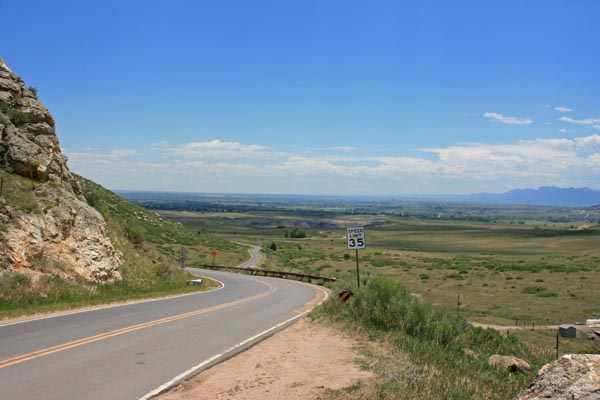
At the summit, looking south. |
At the summit. |
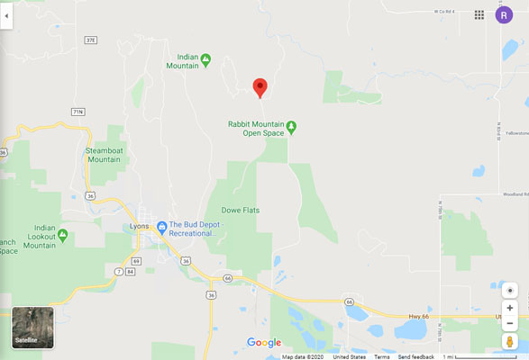
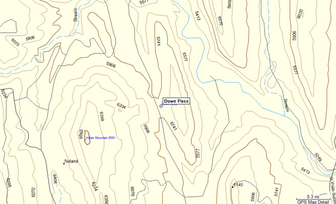
Google Maps |
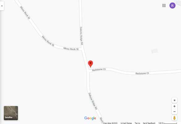
Google Maps |
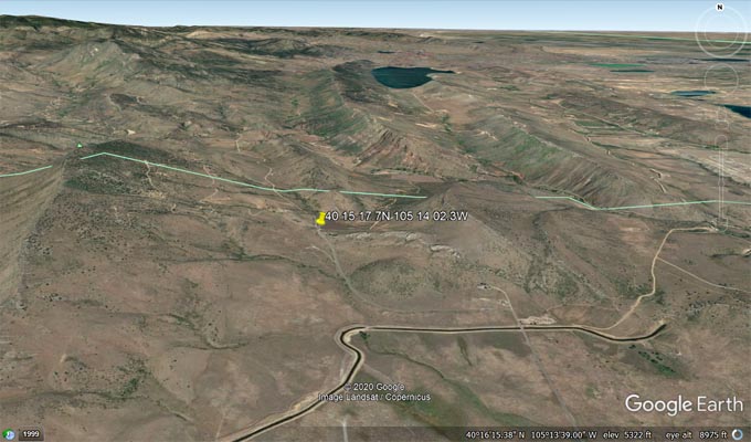
Google Earth |
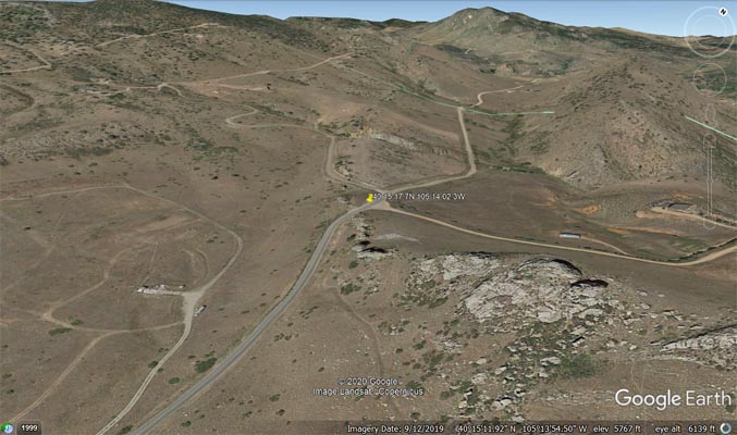
Google Earth |
Garmin MapSource |
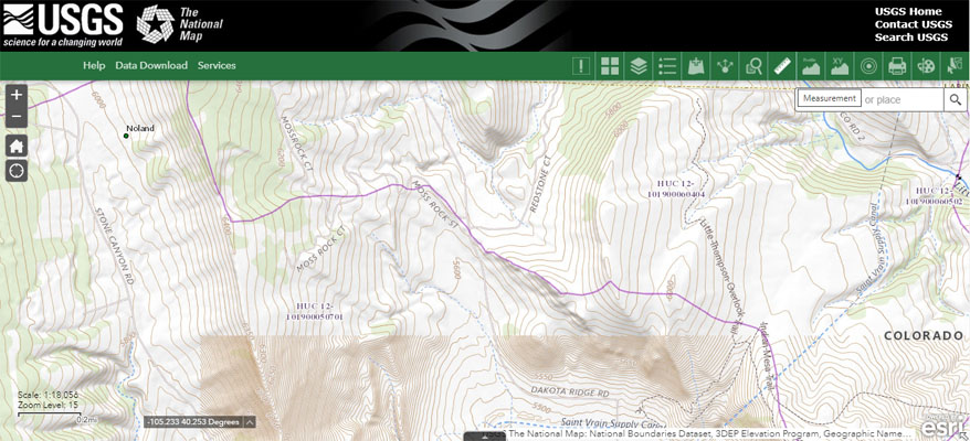
USGS, The National Map w/ Watershed Boundary Dataset overlay |
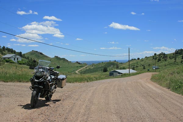
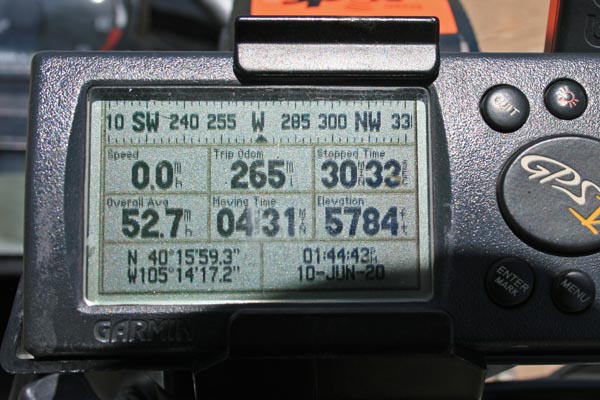
photos by Randy Bishop, 6/10/2020
At the GNIS location, looking north. |
At the GNIS location, looking south. |
At the GNIS location. |
180 feet north of the watershed divide. |
180 feet north of the watershed divide. |
#81 - photos by Randy Bishop, 05/26/2007
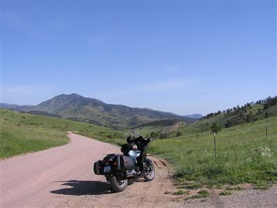
At the GNIS location, looking north. |
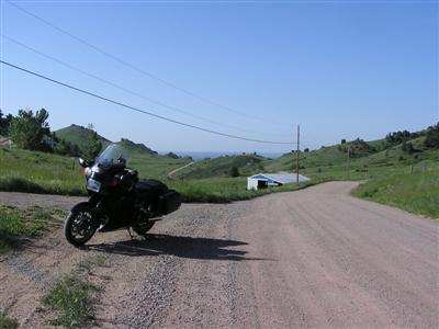
At the GNIS location, looking south. |
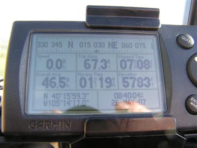
At the GNIS location. |
180 feet north of the watershed divide. |

180 feet north of the watershed divide. |
| Feature Name | ID | Class | County | State | Latitude | Longitude | Ele(ft) | Map | BGN Date | Entry Date |
| Dowe Pass | 178039 | Gap | Larimer | CO | 401600N | 1051417W | 5777 | Carter Lake Reservoir | - | 13-OCT-1978 |
| Dowe Flats | 178342 | Flat | Boulder | CO | 401335N | 1051342W | 5325 | Hygiene | - | 13-OCT-1978 |