
Dunham Gap
|
Dunham Gap |
Dunham Gap - La Plata County - Colorado - 7,106 feet
Hartman Canyon to west. Los Pinos River to east.
On west side of Bayfield, about 1 mile north of US-160 via CR-506 and Lariat Rd.
no access, on private property - gravel - dual sport
photos by John Meyer, 10/1/2017
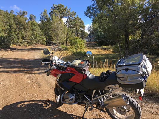
About 300 feet from summit. |
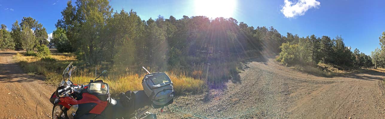
About 300 feet from summit. |
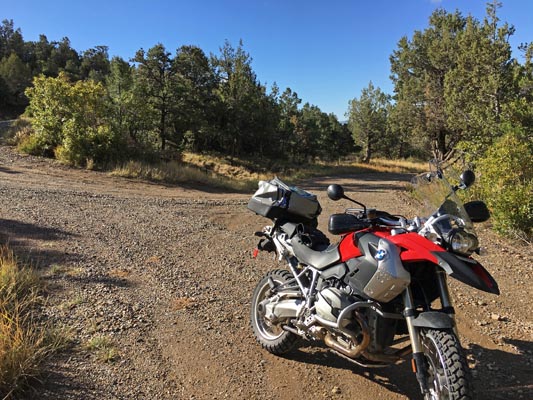
About 300 feet from summit. |
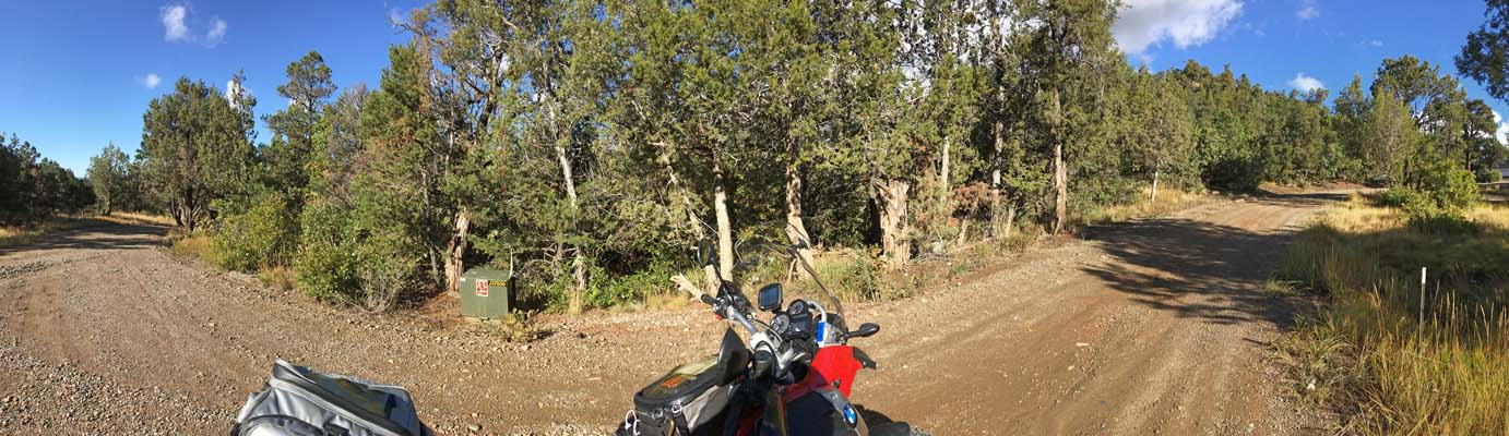
About 300 feet from summit. |
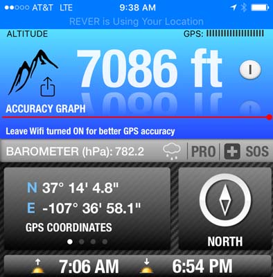
About 300 feet from summit. |
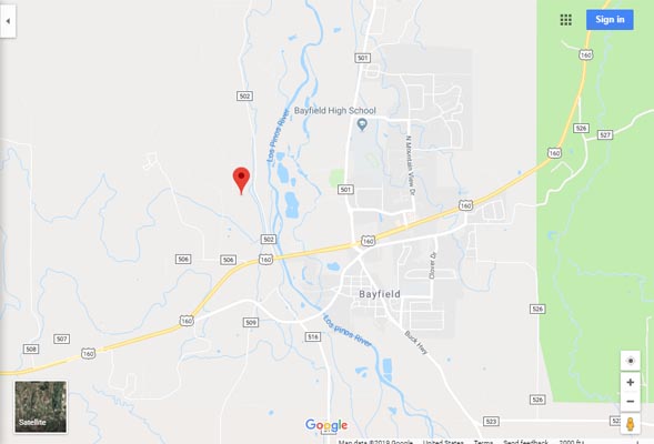
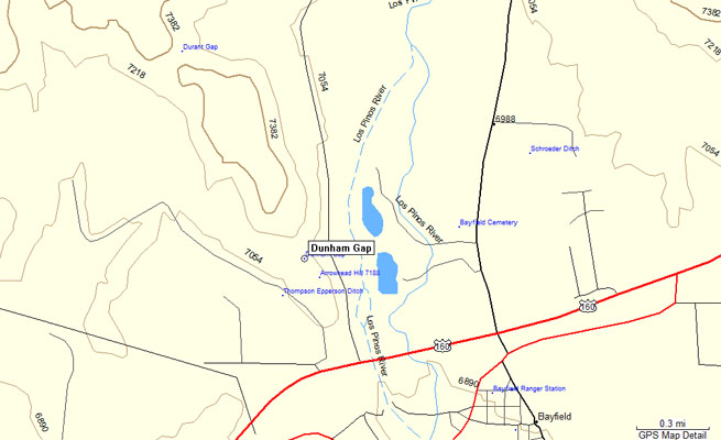
Google Maps |
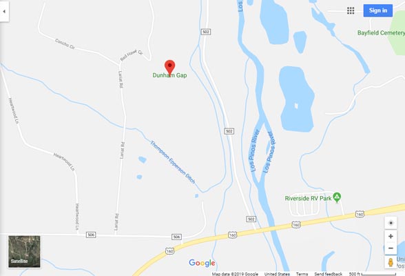
Google Maps |
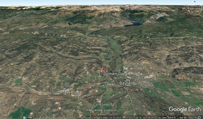
Google Earth |
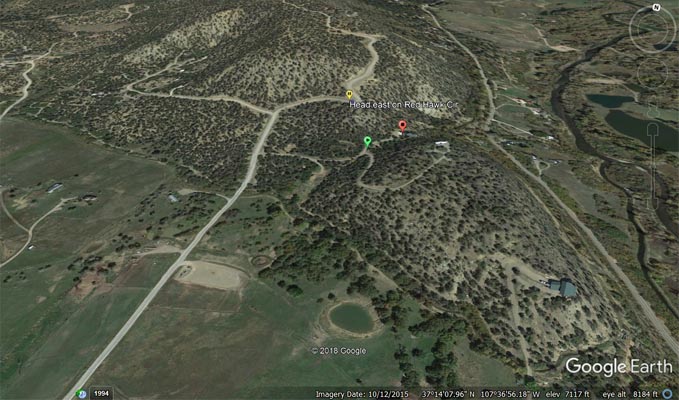
Google Earth. Photos taken at green pointer, summit at red pointer. |
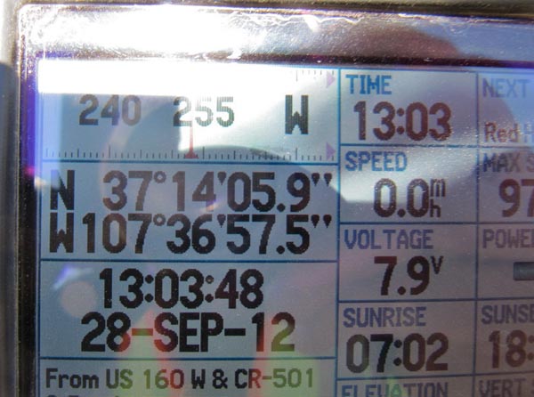
Garmin MapSource |
photos by Karst Postma, 9/28/2012
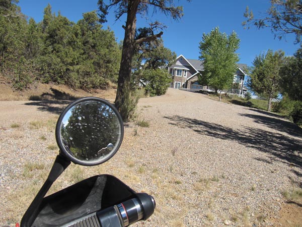
House is on the summit. |

About 300 feet from summit. |
About 300 feet from summit. |
| Feature Name | ID | Class | County | State | Latitude | Longitude | Ele(ft) | Map | BGN Date | Entry Date |
| Dunham Gap | 184412 | Gap | La Plata | CO | 371407N | 1073656W | 7096 | Bayfield | - | 13-OCT-1978 |