
East Lone Cone Pass
|
East Lone Cone Pass |
East Lone Cone Pass - Dolores / San Miguel Counties - Colorado - 10,890 feet
Beaver Creek to north. Fish Creek to south.
On Middle Creek Road northwest of Dunton.
gravel, rock - dirt bike or dual sport
photos by Karst Postma, 8/23/2013
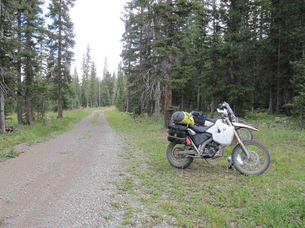
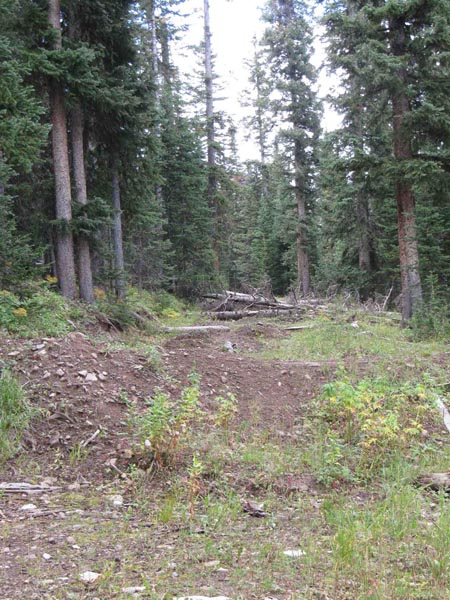
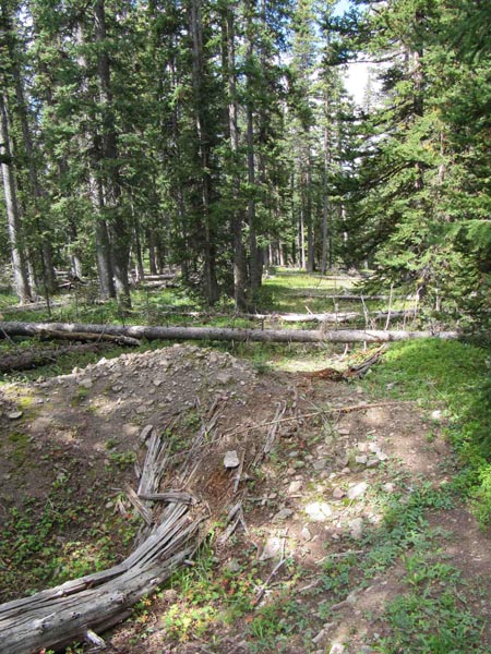
At the summit. |

At the summit. |
At the summit. |
At the summit. |
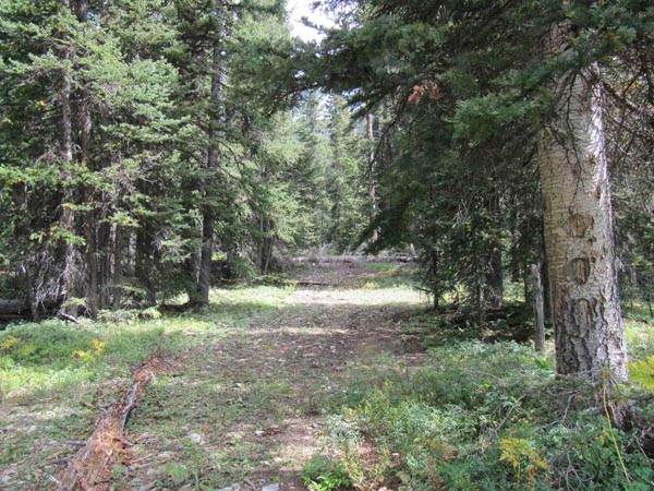
FR-616 |
FR-616 |
FR-616 |
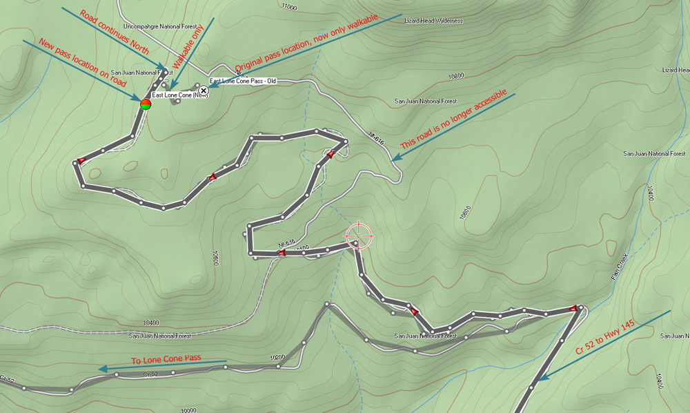
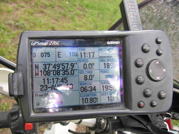
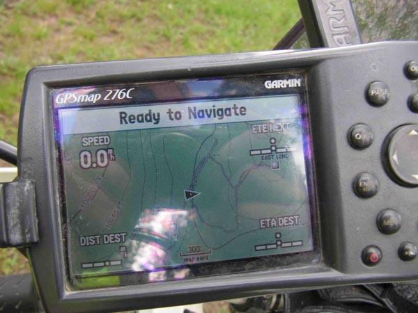
Karst's Garmin tracks |
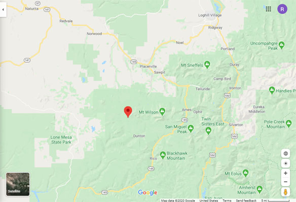
Google Maps |
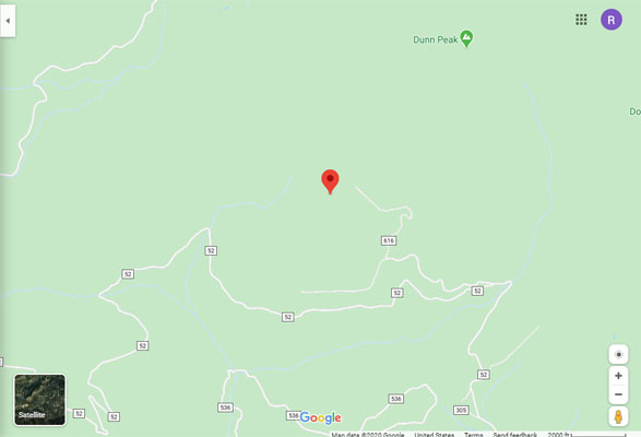
Google Maps |
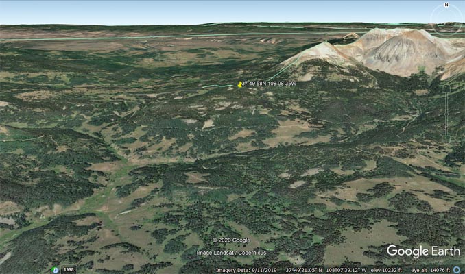
Google Earth |
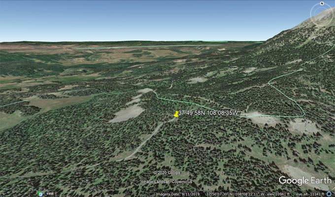
Google Earth |
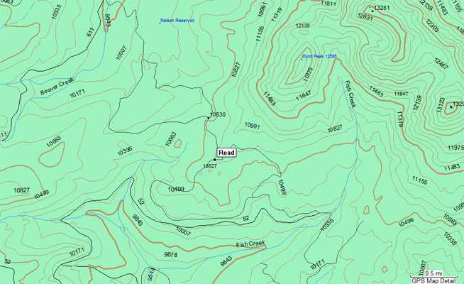
Garmin MapSource |
Notes from Karst: Approaching from the southeast, from CO-145 take CR-38/CR-52 for 15 miles. It is a
hard packed wide road. The Middle Peak Road takes you to East Lone Cone. Do not turn on FR-616 since it
is blocked off with fallen trees and berms. Instead continue on Middle Peak Rd, which is somewhat rocky,
but nothing that cannot be done on a big dual sport bike with moderate skills. Eventually you will see on
your right hand side the other side of FR-616. You can walk from there to the old pass location at
37 50 00.7N 108 08 25.3W. The pass location on the new road is somewhat undefined, but by unanimous
committee decision we put it at 37 49 57.9N 108 08 35.0W .