
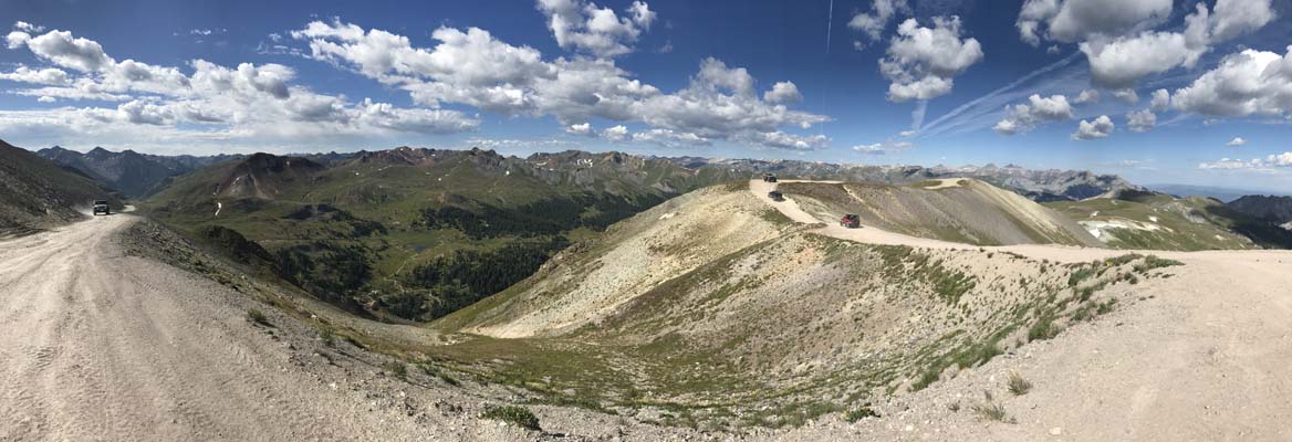
Engineer Pass
|
Engineer Pass |
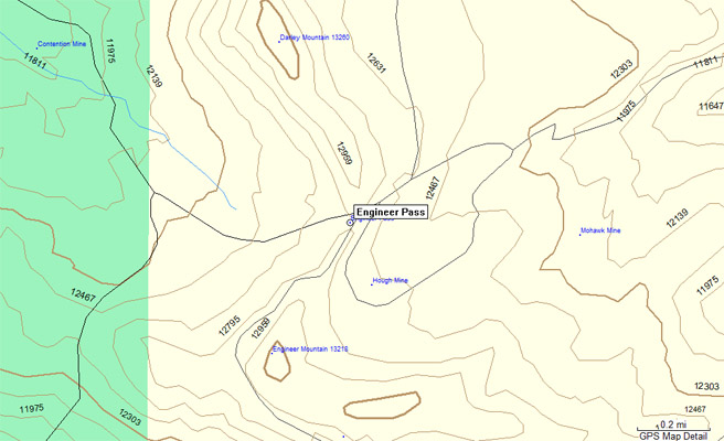
Engineer Pass - Hinsdale / Ouray Counties - Colorado - 12,800 feet
Bear Creek to west. Henson Creek to east.
Between Lake City and Silverton.
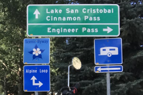
About 18 miles west of Lake City on FR-20, the northern half of the Alpine Loop.
About 4 miles north of Animas Forks on FR-2.
off-road - dirt bike or dual sport
photos by Dave Meyer, 6/1/2025

At the summit. |

Along the Alpine Loop. |
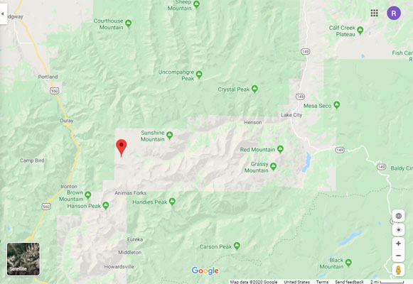
Google Maps |
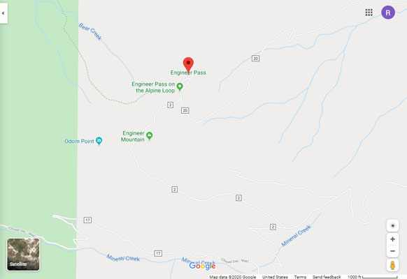
Google Maps |
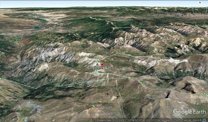
Google Earth |
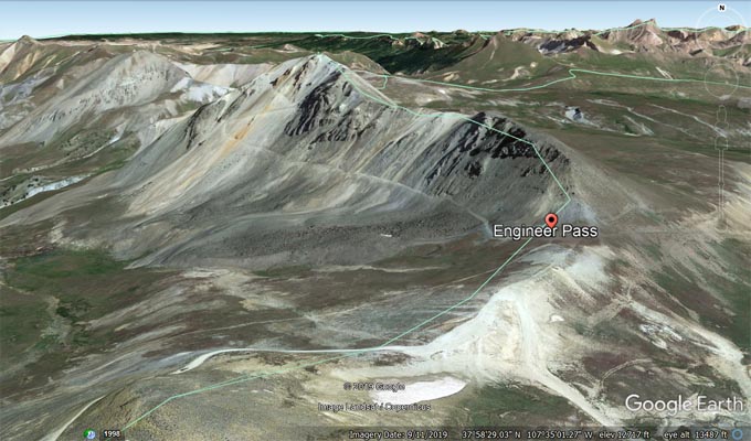
Google Earth |
Garmin Mapsource |
photos by Scott Westfall, 8/19/2017
Near Lake City. |
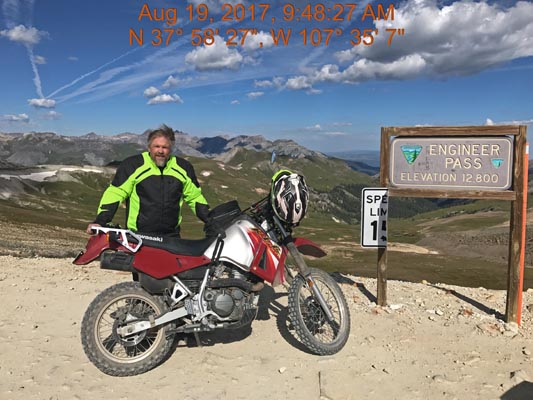
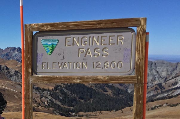
At the summit. |
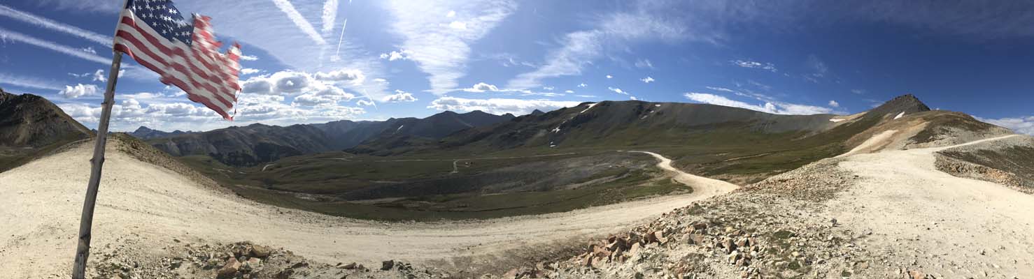
At the summit. |
At the summit. |
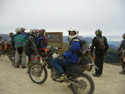
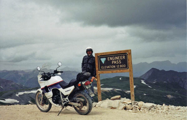
photos by John Meyer, 10/15/2016
At the summit. |
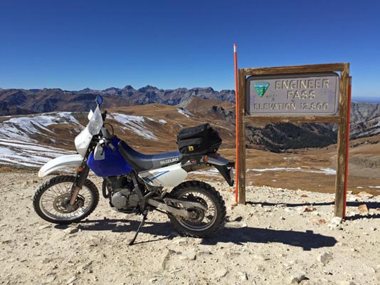
At the summit. |
At the summit. |
photos by Karst Postma, 7/27/2013
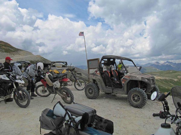
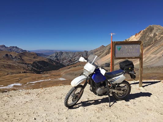
At the summit. |
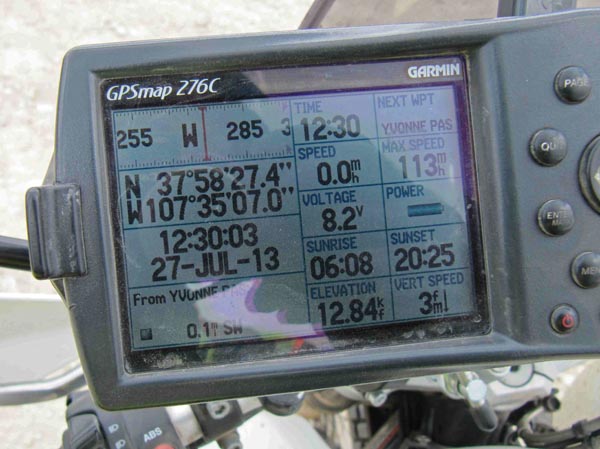
At the summit. |

At the summit. |
photo from Deward Knapp, 8/22/2006, photo from Wade, 7/23/2004, photo from Roamin Carloski.
Deward at the summit. |
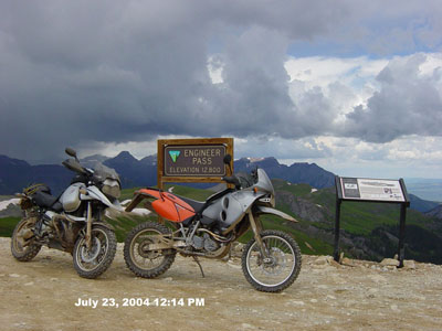
Wade's bike at the summit. |
Carl at the summit. |
Notes from Karst:
Easiest reached from Lake City. It can be done on a big bike, but will require solid moderate to
intermediate skills the last few miles. Steep and rocky in places with rocky hair pins.
From the west it can be done with big bikes, but you will definitely require solid intermediate
skills due to steep rocky sections and steep, tight, rocky hair pins. With a high first gear
(i.e. R1150GS and such) you will have your hands full from this direction. Much easier on a smaller
bike. Either way make sure you disable your ABS for your descent and know how to brake in loose road
surface and rocks.
A recommendation from others: Ride the Alpine Loop clockwise so Engineer is ridden from west to east
so steep rough parts are done going uphill. Then ride Cinnamon east to west. Whether the Loop is
ridden clockwise or counterclockwise, many find these to be difficult passes.
| Feature Name | ID | Class | County | State | Latitude | Longitude | Ele(ft) | Map | BGN Date | Entry Date |
| Engineer Pass | 187340 | Gap | Ouray | CO | 375832N | 1073504W | 12795 | Handies Peak | - | 13-OCT-1978 |