
Fall River Pass
|
Fall River Pass |
Fall River Pass - Larimer County - Colorado - 11,796 feet
Cache la Poudre River to west. Fall River to east.
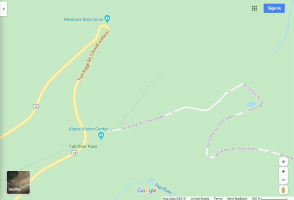
In Rocky Mountain National Park, on Old Fall River Road, summit on east side of Alpine Visitor Center.
via US-34 Trail Ridge Road
east side, pavement, road bike -- west side, pavement, road bike
via Old Fall River Road (one-way uphill)
east side, gravel, loose surfaces in switchbacks, dual sport -- west side, hiking trail (via original route of road)
#20 - photos by Randy Bishop, 6/18/2005

West side of Alpine Visitor Center. |
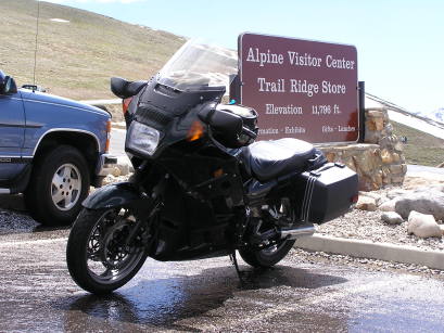
West side of Alpine Visitor Center. |

West side of Alpine Visitor Center, looking west. |
photos by Randy Bishop, 7/28/2007
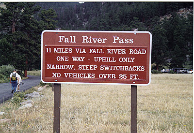
At east end of Old Fall River Road. |
At east end of Old Fall River Road. |
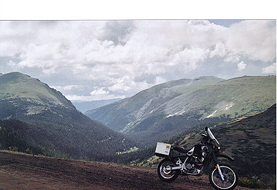
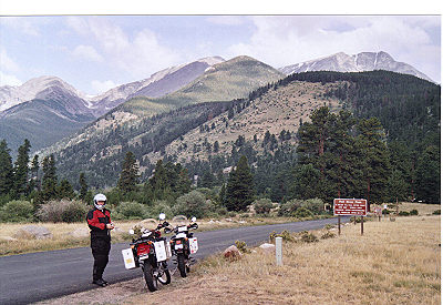
At the summit, looking east. |
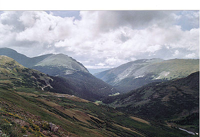
At the summit, looking east. |
At the summit. |
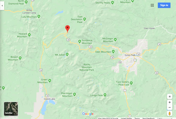
Google Maps |
Google Maps |
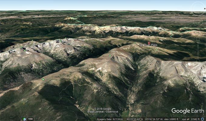
Google Earth, looking west. |
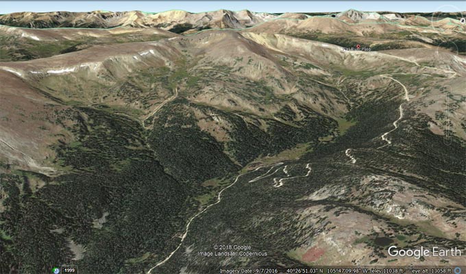
Google Earth, looking west. |
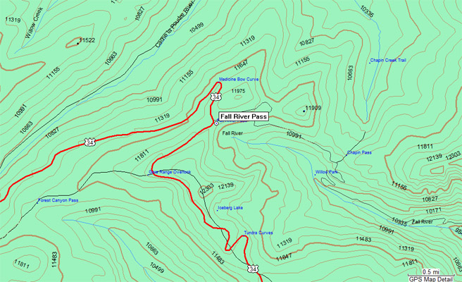
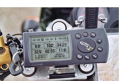
Garmin MapSource |
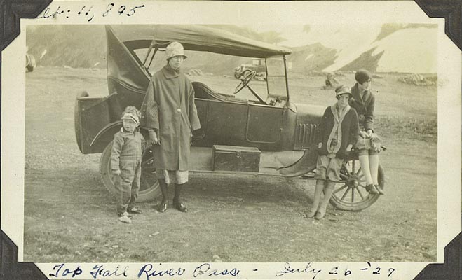
photos by my grandfather Albert Bishop, 7/26/1927
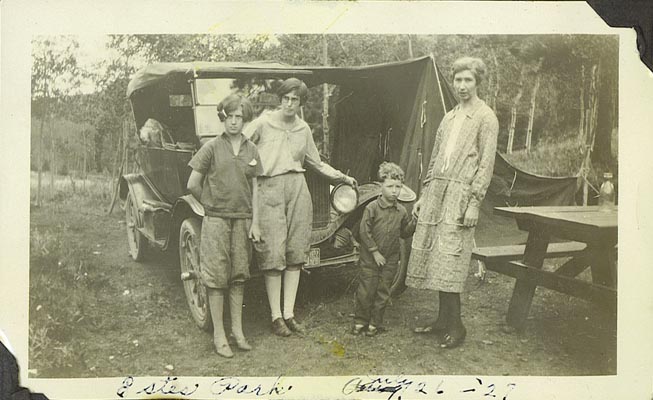
Camping near Estes Park, Colorado. |
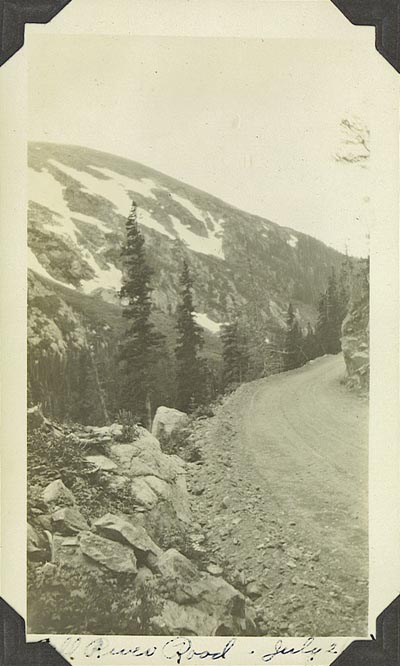
Near the summit in 1927. |
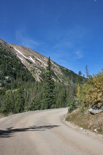
Near the summit in 2009. |
At the summit where the Alpine Visitor Center is now located. |
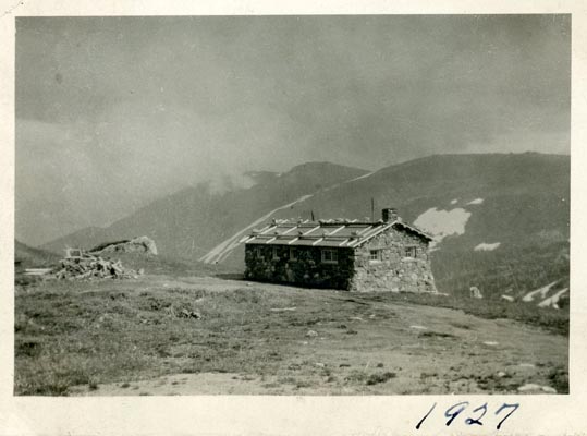
At the summit where the Alpine Visitor Center is now located. |
| Feature Name | ID | Class | County | State | Latitude | Longitude | Ele(ft) | Map | BGN Date | Entry Date |
| Fall River Pass | 177528 | Gap | Larimer | CO | 402626N | 1054517W | 11762 | Fall River Pass | - | 13-OCT-1978 |