
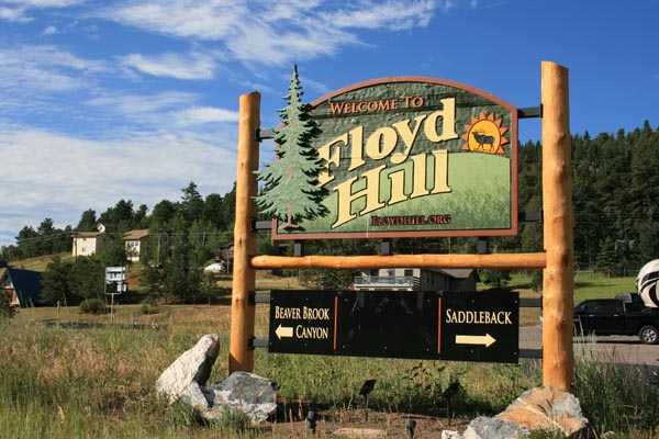
Floyd Hill
|
Floyd Hill |
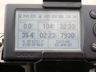
Floyd Hill - Clear Creek County - Colorado - 7,920 feet
Clear Creek to north. Beaver Brook to south.
I-70 / US-40 east of Idaho Springs
pavement - road bike
photos by Randy Bishop, 07/19/2017
0.4 miles from the summit. |
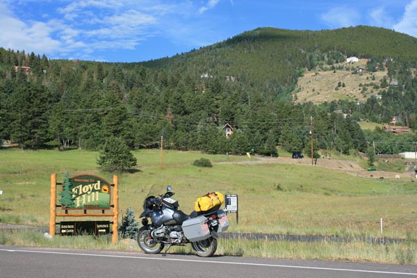
0.4 miles from the summit. |
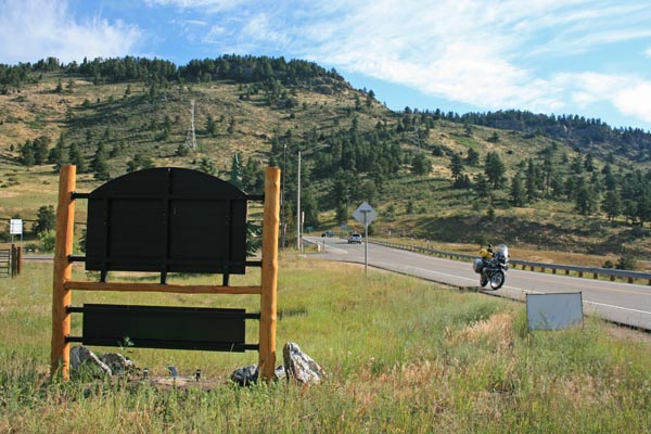
0.4 miles from the summit, looking north toward I-70. |

0.4 miles from the summit. |
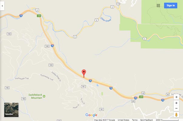
Google Maps |
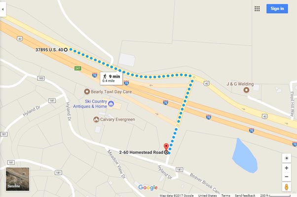
Google Maps, showing route from summit to sign. |
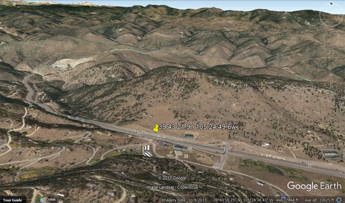
Google Earth |
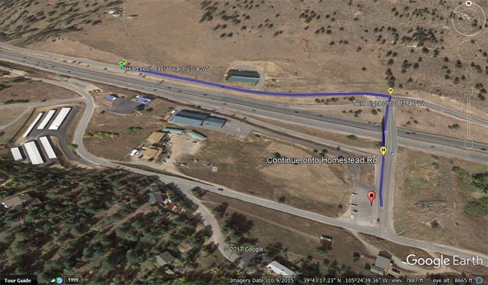
Google Earth |
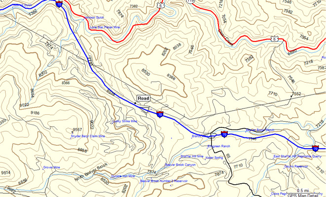
Google MapSource |
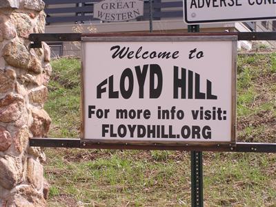
#77 - photos by Randy Bishop, 04/22/2007
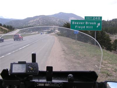
The Floyd Hill exit on westbound I-70. |
At south side of overpass. |
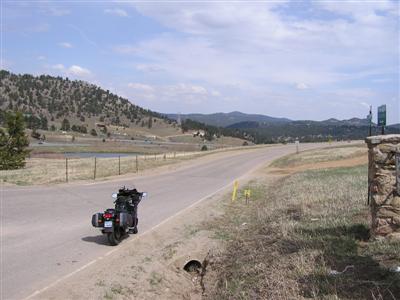
At south side of overpass, looking east. |
At the summit on westbound US-40 frontage road. |