
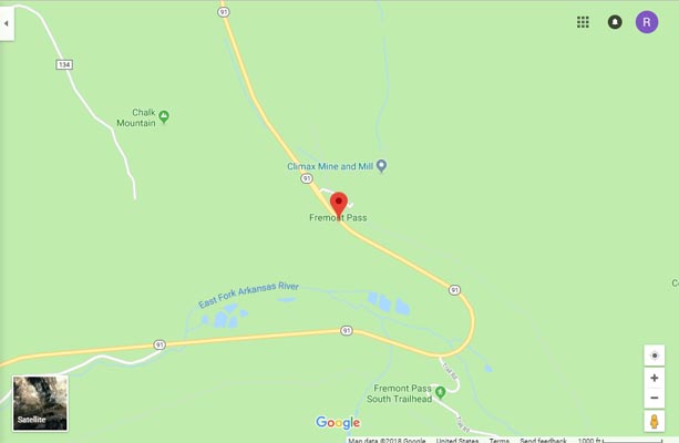
Fremont Pass
|
Fremont Pass |
Fremont Pass - Lake County - Colorado - 11,318 feet - On the Continental Divide
Tenmile Creek to north. Arkansas River to south.
(other names - Alicante, Arkansas, Tenmile)
CO-91 east of Leadville
pavement - road bike
photos by Randy Bishop, 07/20/2018
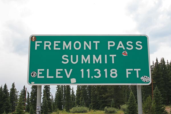
At the summit. |
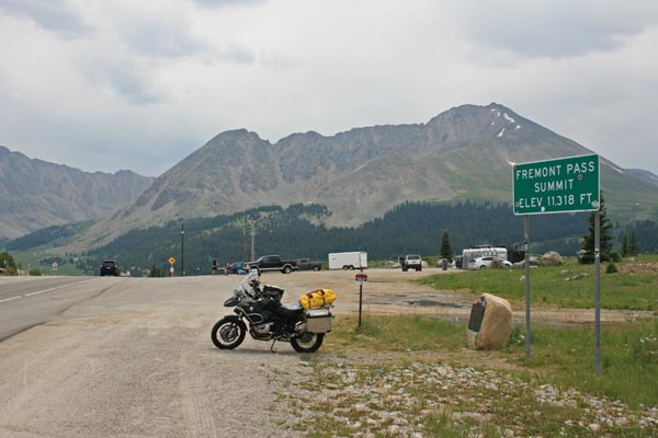
At the summit, looking south. 2009 BMW R1200GSA |
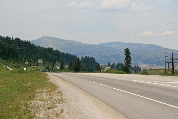
At the summit, looking north. |
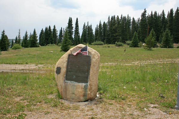
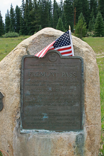
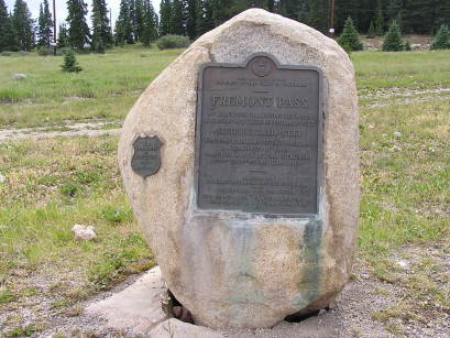
Vintage 1930 historical marker. |
Vintage 1930 marker. |
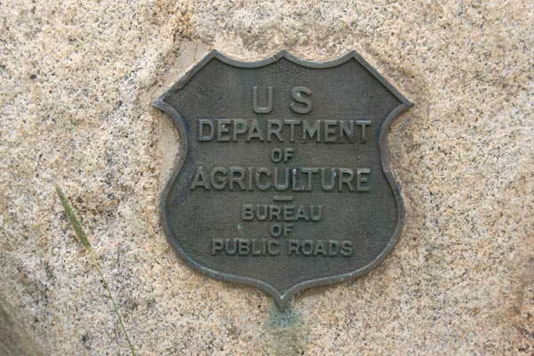
Vintage 1930 historical marker. |
At the summit. |
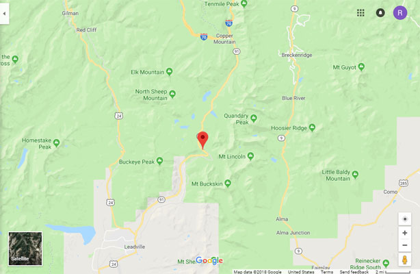
Google Maps |
Google Maps |
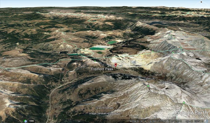
Google Earth |
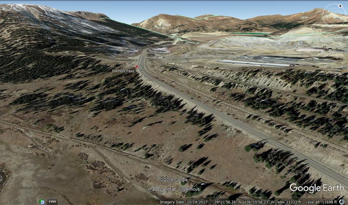
Google Earth |
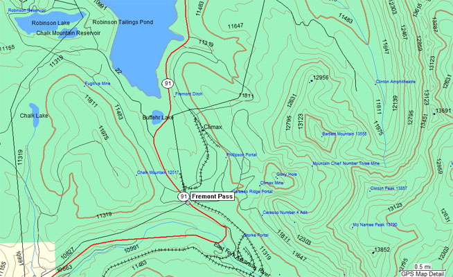
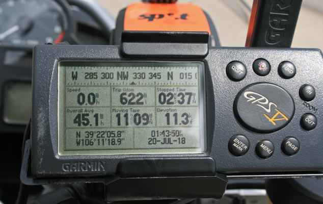
Garmin Mapsource |
#29 - photos by Randy Bishop, 08/06/2005
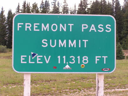
At the summit. |
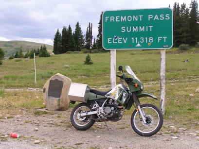
At the summit. 2002 Kawasaki KLR650 |
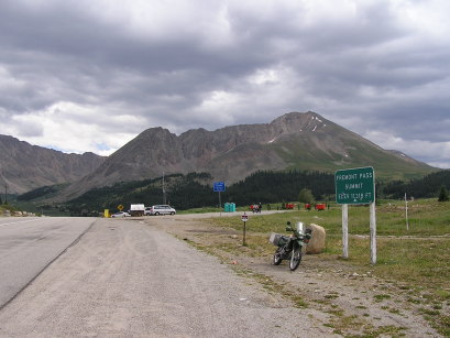
At the summit, looking south. |
At the summit. |

At the summit. |
photos by Randy Bishop
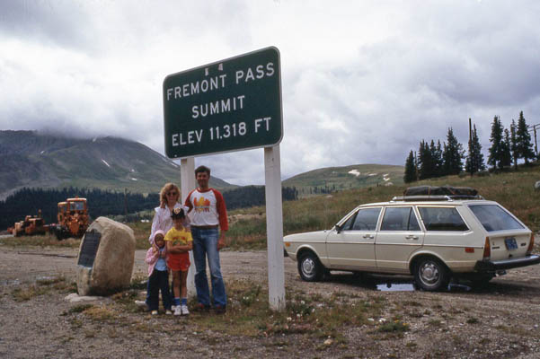
At the summit. 1977 VW Dasher 8/3/1982 |
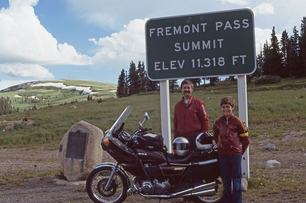
Randy and Phil at the summit. 1981 Honda CB750K 7/2/1986 |
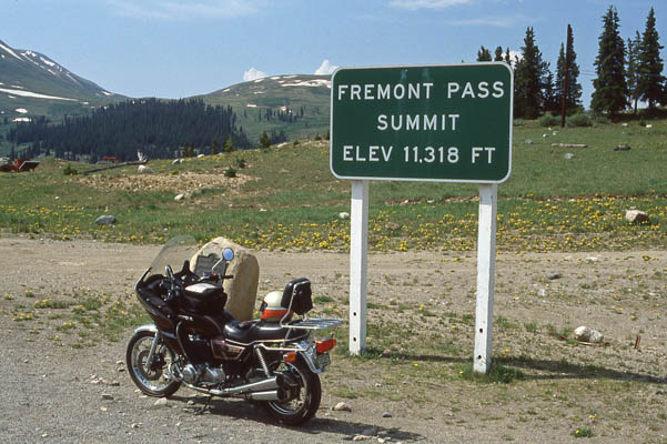
At the summit. 1981 Honda CB750K 6/30/1990 |
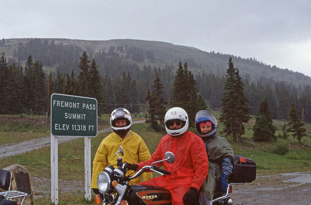
P105 guys at the summit. 7/21/1990 |
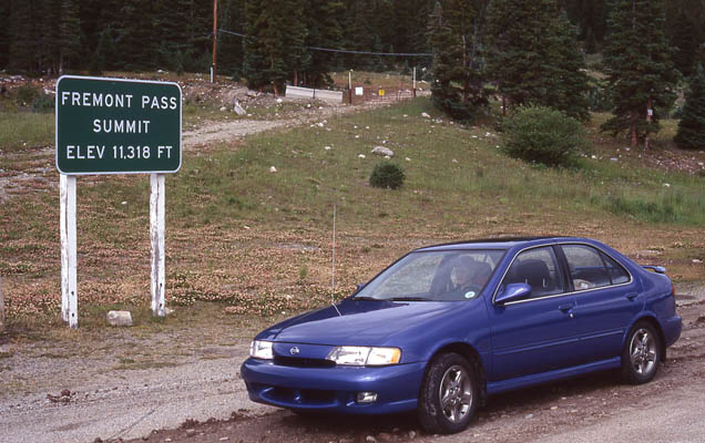
At the summit. 1999 Nissan Sentra SE 2.0L 9/7/1999 |
The 1930-vintage
History Colorado (State Historical Society of Colorado) marker reads:
This memorial is the property of the State of Colorado. Fremont Pass. On Continental Divide between
Arkansas and Blue River drainages. Altitude 11,316 feet. Western boundary of the Louisiana Purchase of
1803. Named in honor of John C. Fremont, famous western explorer. Erected by the State Historical Society
of Colorado from the Mrs. J. N. Hall Foundation and by the Mount Massive Chapter, Daughters of the
American Revolution, of Leadville. 1930.
| Feature Name | ID | Class | County | State | Latitude | Longitude | Ele(ft) | Map | BGN Date | Entry Date |
| Fremont Pass | 179898 | Gap | Lake | CO | 392159N | 1061112W | 11279 | Climax | - | 13-OCT-1978 |