
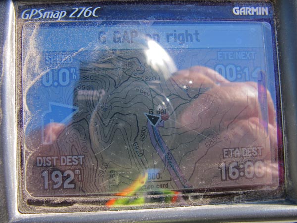
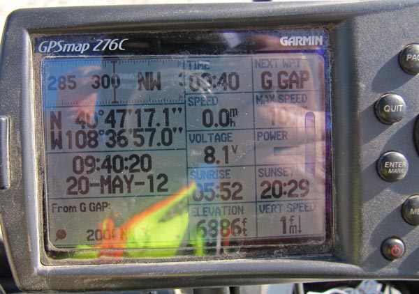
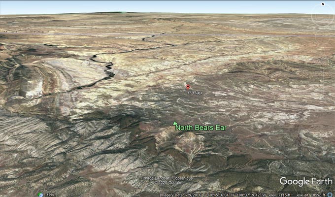
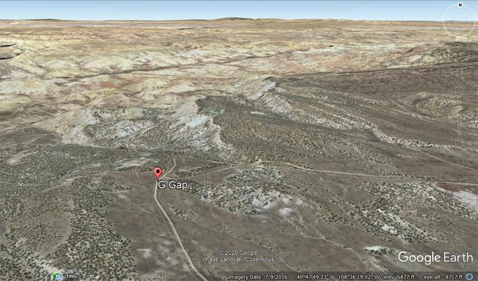
G Gap
|
G Gap |
G Gap - Moffatt County - Colorado - 7,634 feet
other name: The Gap
Grass Draw to north. Yampa River to south.
Northwest of Maybell, off CO-318 on CR-119, via various other county roads.
gravel and dirt - dual sport
Note: G Gap is far from gas stations.
photos by Karst Postma, 5/20/2012

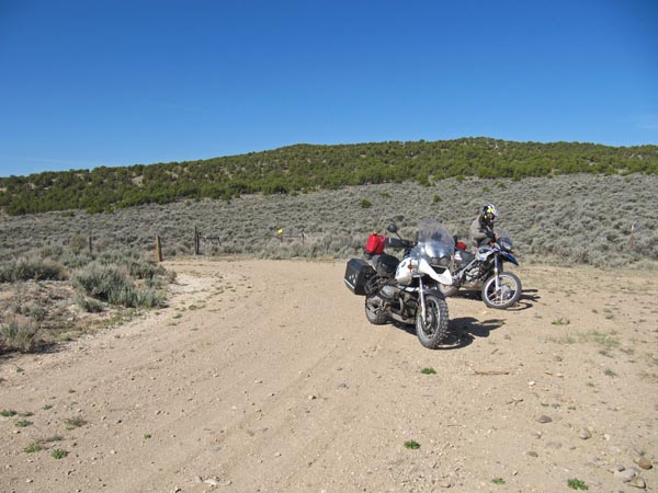
On the way to the summit. |

At the gate. |

At the summit, looking south. |
At the summit, looking southwest. |
At the summit, looking northeast. |
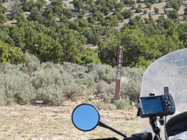
Forest Trail 2058, that a way. |
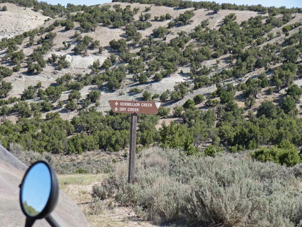
Vermillion and Dry Creeks, that a way. |
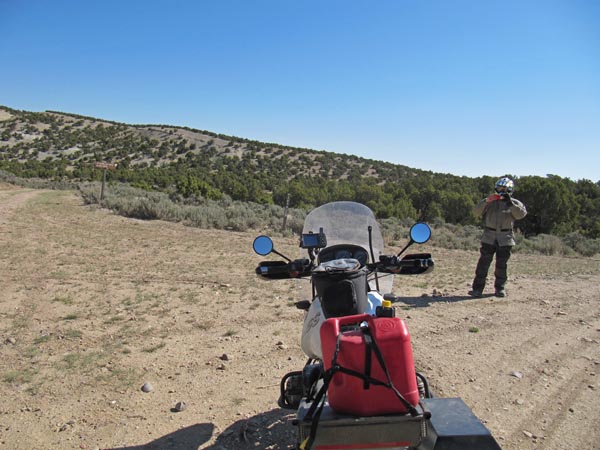
At the summit. |
At the summit. |
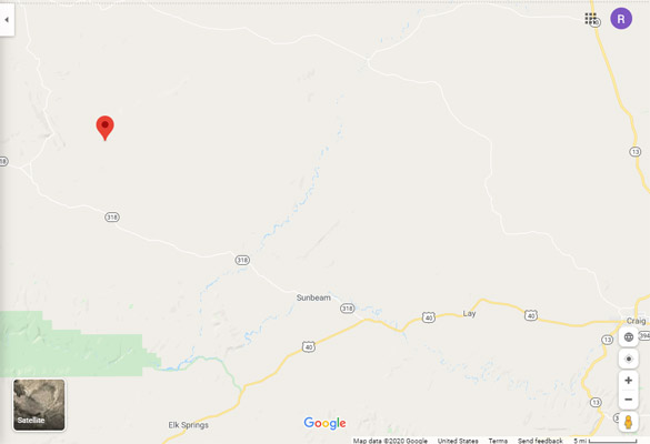
Google Maps |
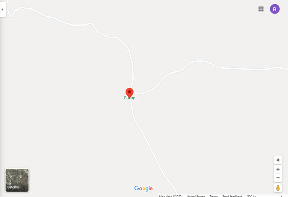
Google Maps |
Google Earth |
Google Earth |

Garmin MapSource |
| Feature Name | ID | Class | County | State | Latitude | Longitude | Ele(ft) | Map | BGN Date | Entry Date |
| G Gap | 169809 | Gap | Moffat | CO | 404716N | 1083657W | 6877 | G Spring | - | 13-OCT-1978 |