
Georgia Pass
|
Georgia Pass |
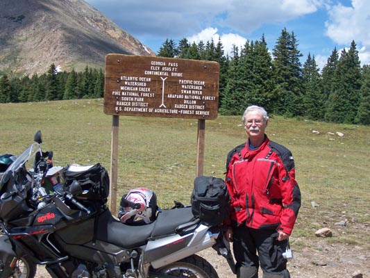
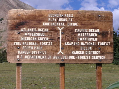
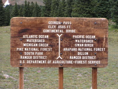
Georgia Pass - Park / Summit Counties - Colorado - 11,585 feet - On the Continental Divide
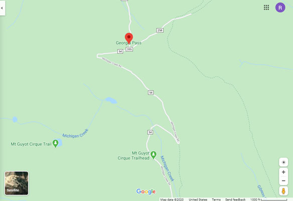
South Fork of the Swan River to north. Michigan Creek to south.
(other names - Jefferson, Swan River)
FR-54 north of Jefferson
gravel - dual sport
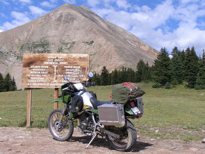
photos by Randy Bishop, 08/20/2008
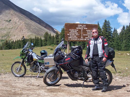
At the summit. |
At the summit. |
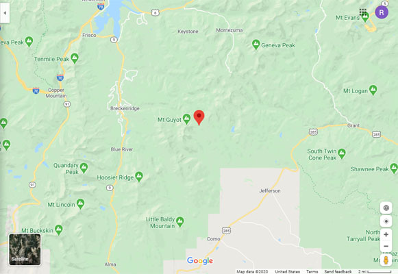
Google Maps |
Google Maps |
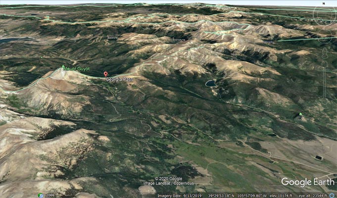
Google Earth |
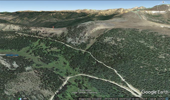
Google Earth |
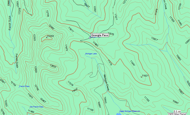
Garmin MapSource |
#62 - photos by Randy Bishop, 08/11/2006
At the summit. |
At the summit. |
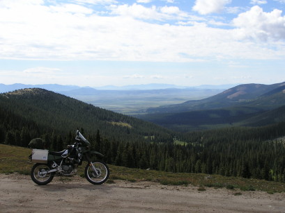
At the summit, looking south. |
photos by Randy Bishop, 08/07/2005
At the summit. |
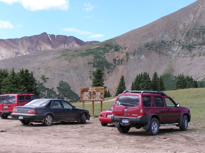
At the summit. |

At the summit, looking north. |
| Feature Name | ID | Class | County | State | Latitude | Longitude | Ele(ft) | Map | BGN Date | Entry Date |
| Georgia Pass | 183131 | Gap | Summit | CO | 392730N | 1055500W | 11598 | Boreas Pass | - | 13-OCT-1978 |