
Gill Creek Divide
|
Gill Creek Divide |
Gill Creek Divide - Mesa County - Colorado - 8,438 feet
West Creek to north. Gill Creek to south.
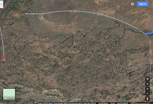
From Whitewater, about 15 miles southwest on CO-141, then about 10 miles southwest on Divide Rd and FR-413 or FR-417.
On a rocky, dirty and sandy road that requires a bit of skills when wet. - dual sport
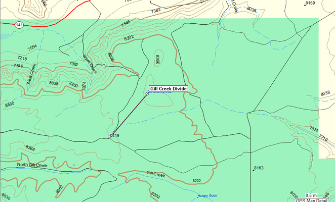
The Divide is mostly a flat area so the actual location of a summit is unclear.
On both the Colorado Road & Recreation Atlas and the Colorado Atlas & Gazetteer,
Gill Creek Divide is shown as a long arch instead of a point.
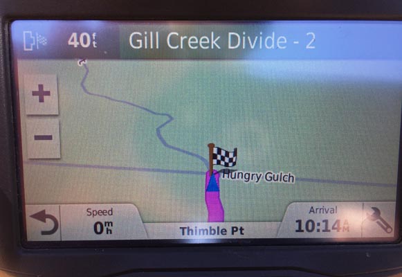
On the Garmin topo map, Gill Creek Divide is shown as a point 0.88 miles northeast of 38 45 35N 108 39 35W
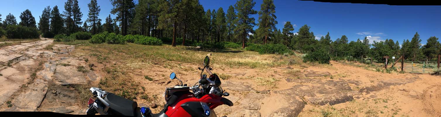
where the photos were taken on FR-413 at the gate for Forest Trail 665 to Hungry Gulch.
photos by John Meyer, 7/20/2017
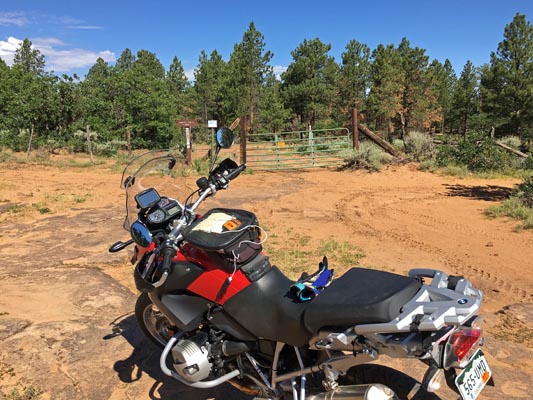
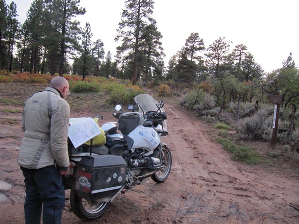
On the Divide. |
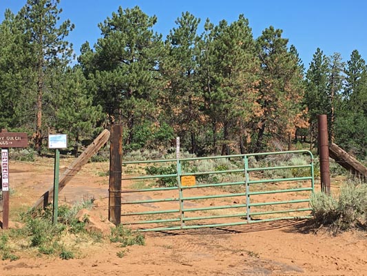
On the Divide. |
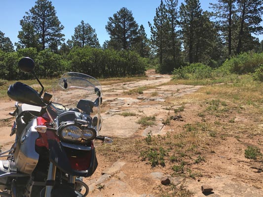
On the Divide. |
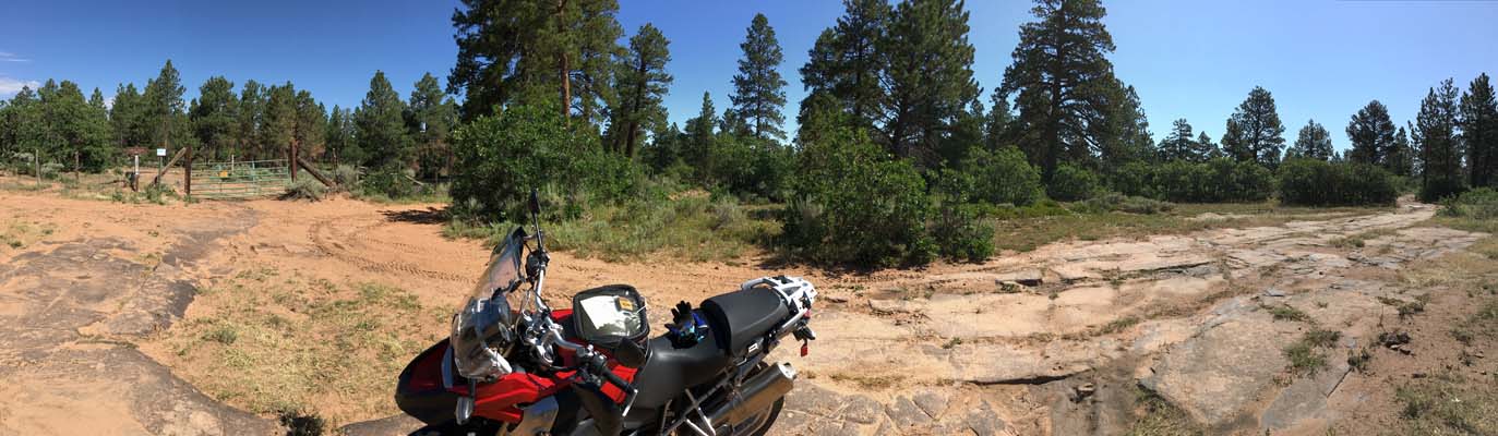
On the Divide. |
On the Divide. |
On the Divide. |
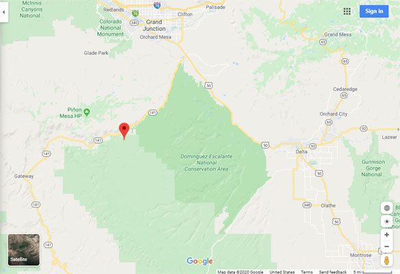
Google Maps |
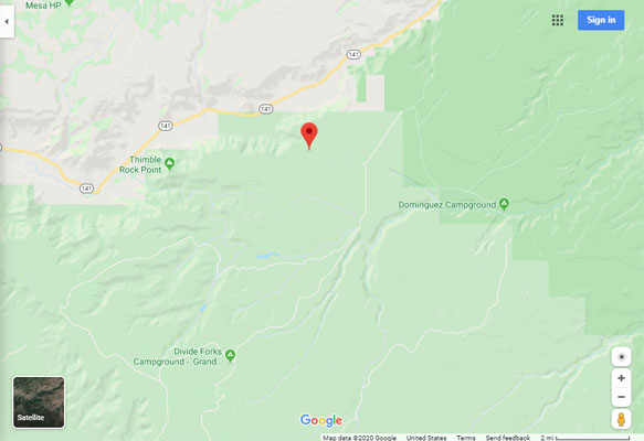
Google Maps |
Google Maps |
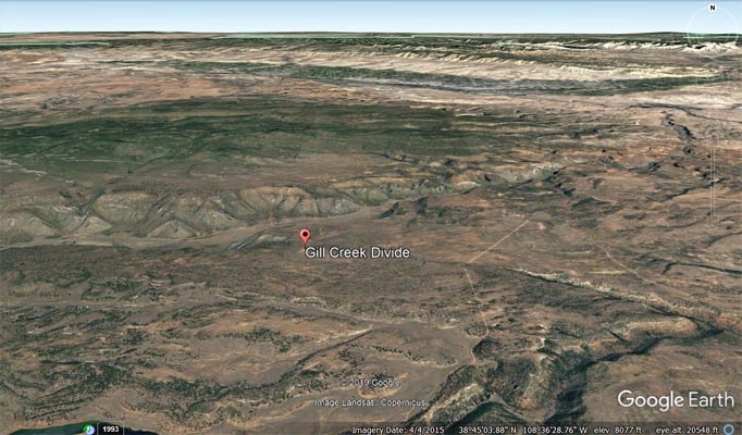
Google Earth |
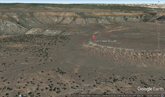
Google Earth |
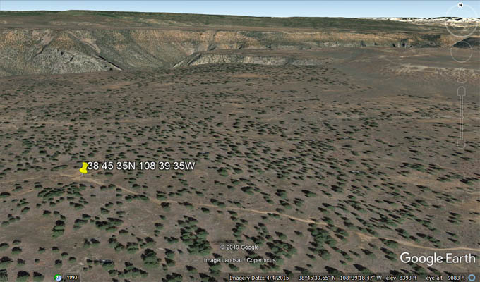
Google Earth |
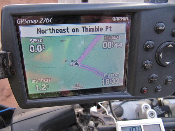
Garmin Mapsource, showing 0.88 miles to FR-413. |
photos by Karst Postma, 9/26/2012

On the Divide. |
On the Divide. |

On the Divide. |

On the Divide. |
On the Divide. |

On the Divide. |
| Feature Name | ID | Class | County | State | Latitude | Longitude | Ele(ft) | Map | BGN Date | Entry Date |
| Gill Creek Divide | 185334 | Ridge | Mesa | CO | 384610N | 1083857W | 8461 | Snyder Flats | - | 13-OCT-1978 |