
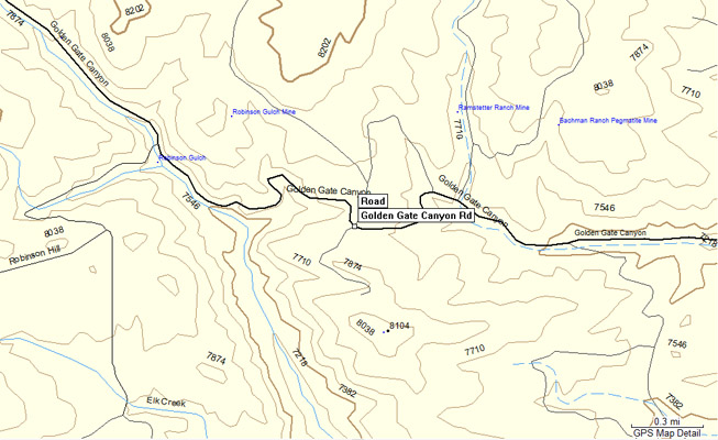
Golden Gate Pass
|
Golden Gate Pass |
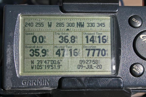
Golden Gate Pass - Gilpin County - Colorado - 7,754 feet
Guy Gulch to west. Tucker Gulch to east.
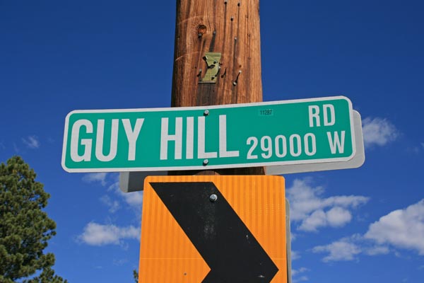
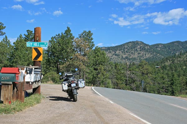
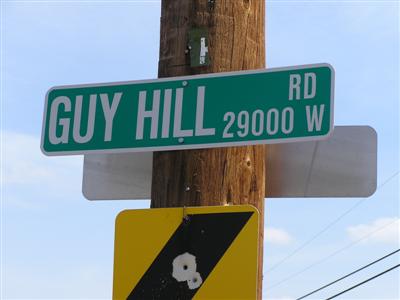
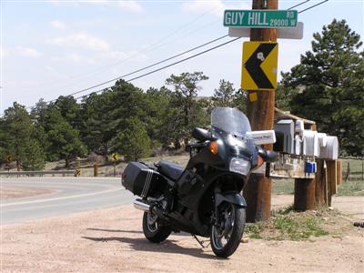
(other name - Guy's Hill)
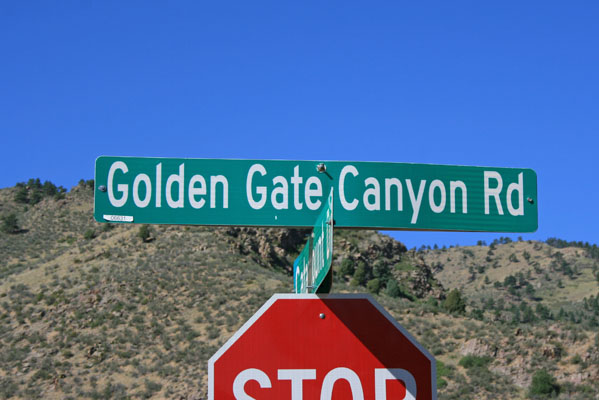
CR-70 (Golden Gate Canyon Road) west of Golden
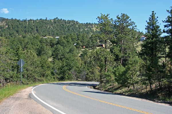
pavement - road bike
photos by Randy Bishop, 7/9/2020
6.5 miles east of the summit. |
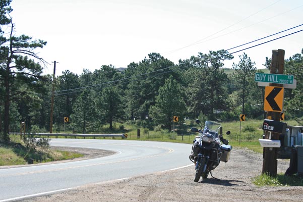
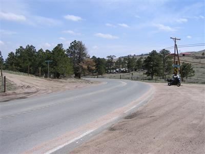
At the summit. |
At the summit, looking northwest. |
At the summit, looking northwest. |
At the summit, looking southeast. |
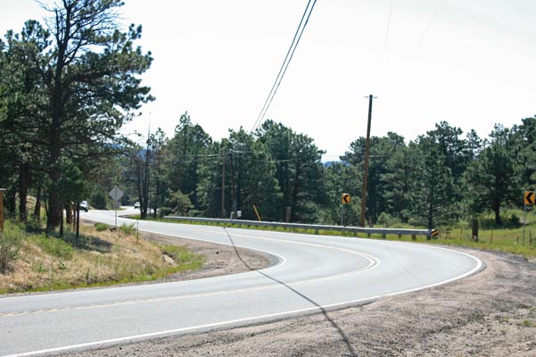
At the summit, looking southeast. |
At the summit. |
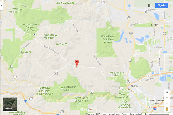
Google Maps |
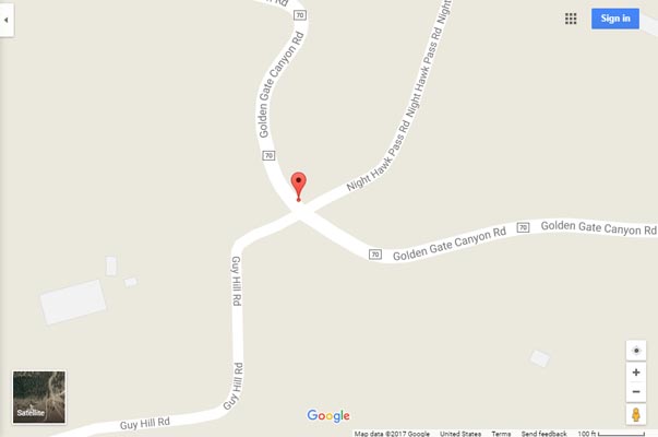
Google Maps |
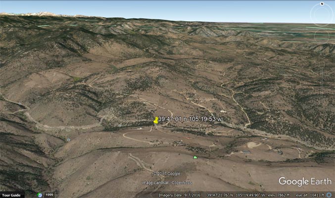
Google Earth |
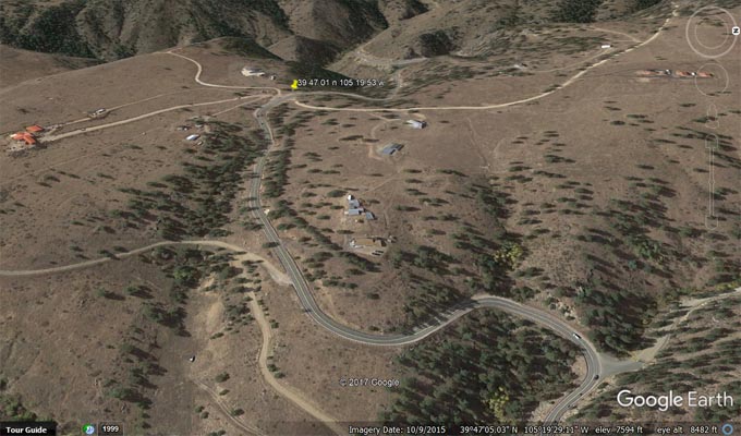
Google Earth, looking west. |
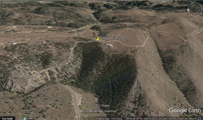
Google Earth, looking east. |
Google Mapsource |

Google Mapsource |
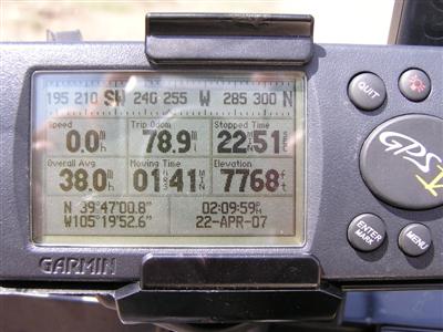
#76 - photos by Randy Bishop, 04/22/2007
At the summit. |
At the summit, looking east. |
At the summit, looking east. |
At the summit. |