
Gore Pass
|
Gore Pass |
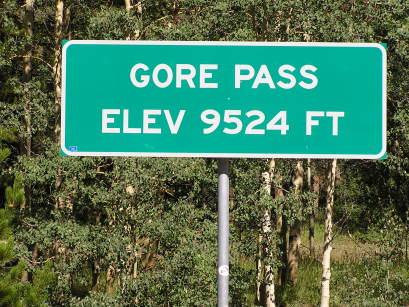
Gore Pass - Grand County - Colorado - 9,524 feet
(other names - Elkhorn, Toponas)
Pass Creek to north. Blacktail Creek to south.
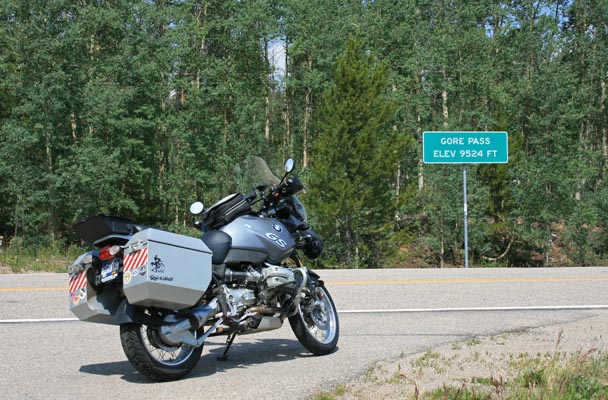
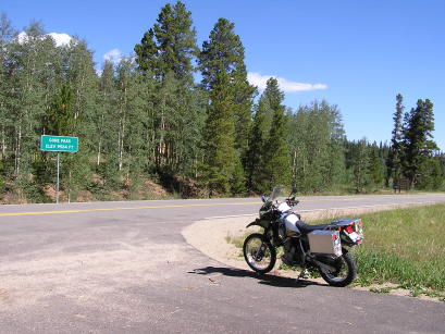
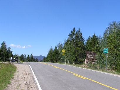
CO-134 northwest of Kremmling
paved - road bike
photos by Randy Bishop, 8/5/2017
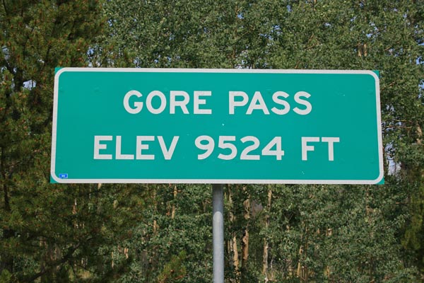
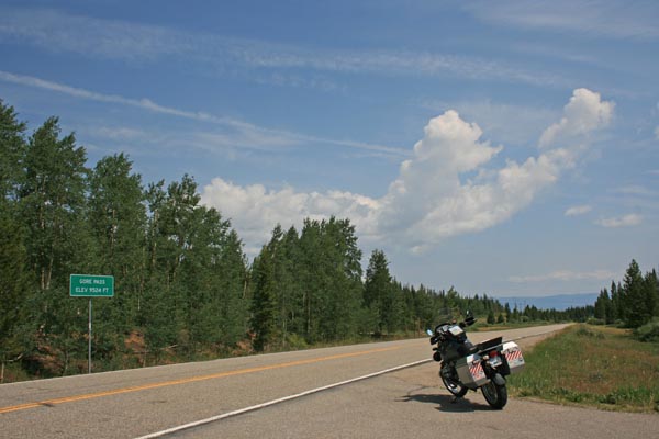
At the summit. |
At the summit. |
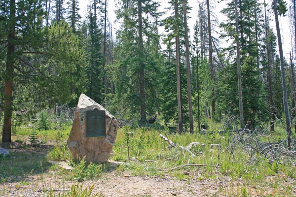
At the summit. At the entrance to the old campground. |
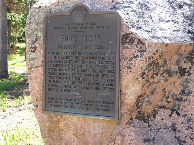
One of the vintage historical plaques. |

At the summit, looking southwest. |

At the summit, looking southwest. |
At the summit, looking northeast. |
At the summit. |
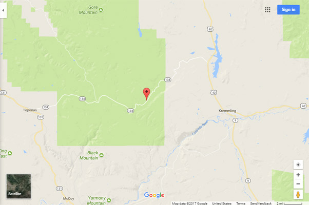
Google Maps |
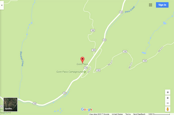
Google Maps |
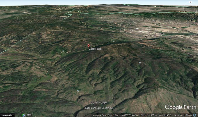
Google Earth |
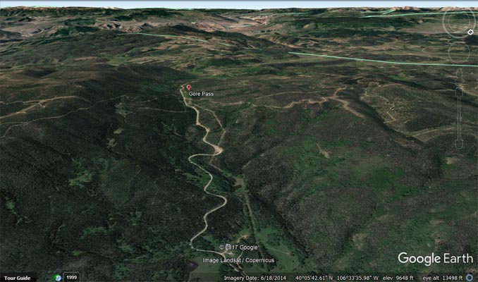
Google Earth, looking southwest. |
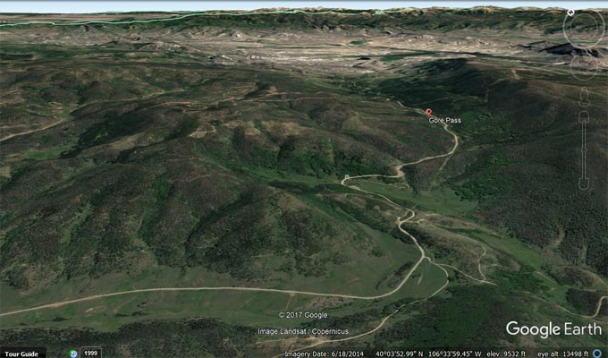
Google Earth, looking northeast. |

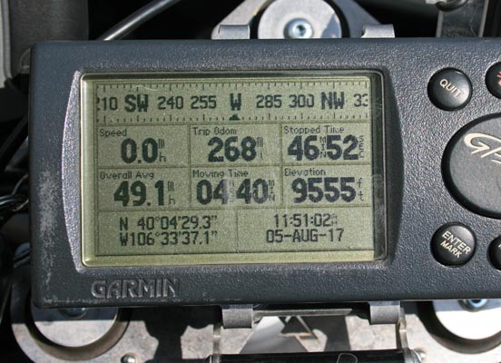
Garmin Mapsource |
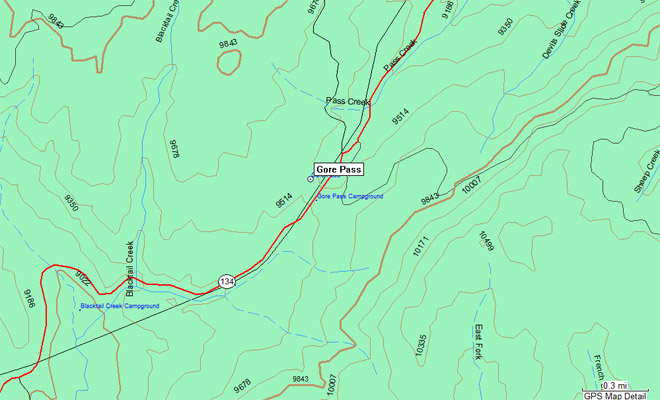
Garmin Mapsource |
#102 - photos by Randy Bishop, 8/11/2007
At the summit. |
At the summit, looking northeast. |
At the summit. |
At the summit, looking southwest. |

At the summit. |
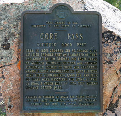
The 1929-vintage
History Colorado (State Historical Society of Colorado) marker reads:
This tablet is the property of the State of Colorado. Gore Pass. Altitude 9,000 feet. Here in 1855 crossed
Sir St. George Gore, an Irish baronet bent on slaughter of game and guided by Jim Bridger. For three years,
he scoured Colorado, Montana and Wyoming accompanied usually by forty men, many carts, wagons, hounds and
unexampled camp luxuries. More than 2,000 buffalo, 1,600 elk and deer, 100 bears were massacred for sport.
A trail by 1866, a wagon road by 1874, this modern highway opened 1956. Erected by the citizens of Routt
and Grand counties and the State Historical Society of Colorado through the Mrs. J. N. Hall Foundation.
| Feature Name | ID | Class | County | State | Latitude | Longitude | Ele(ft) | Map | BGN Date | Entry Date |
| Gore Pass | 173152 | Gap | Grand | CO | 400433N | 1063339W | 9537 | Gore Pass | - | 13-OCT-1978 |