
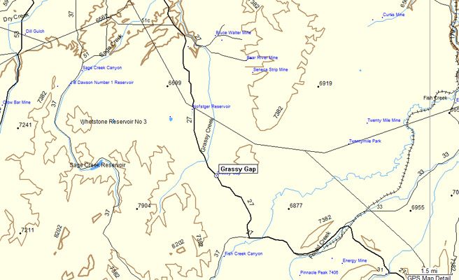
Grassy Gap
|
Grassy Gap |
Grassy Gap - Routt County - Colorado - 7,050 feet
Grassy Creek to north. Fish Creek to south.
CR-27 southeast of Hayden
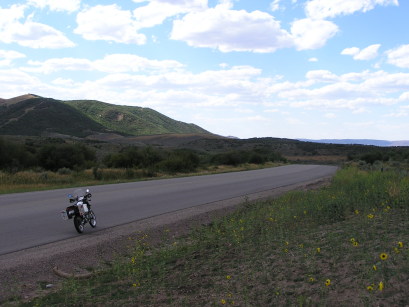
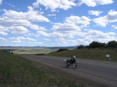
paved - road bike
photos by Randy Bishop, 9/15/2020
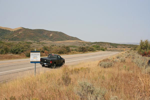
At the summit, looking north. Sign for Sage Creek Mine. |
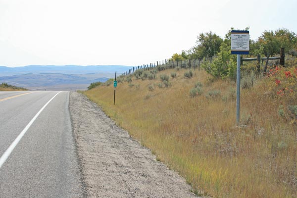
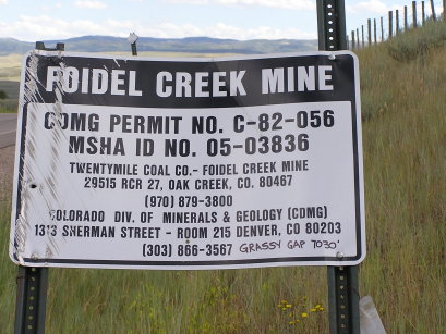
At the summit, looking south.Sign for Foidel Creek Mine. |
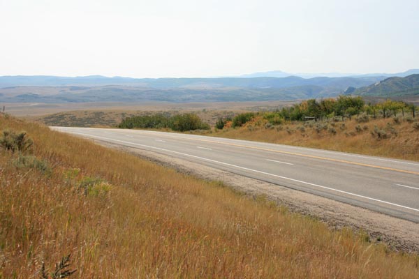
At the summit, looking south. |
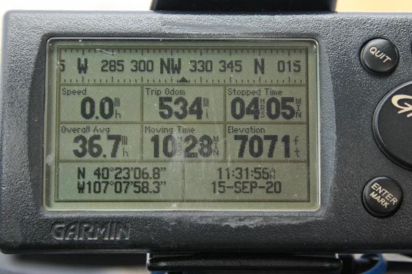
At the summit. |
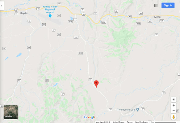
Google Maps |
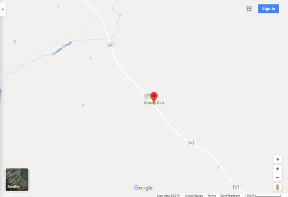
Google Maps |
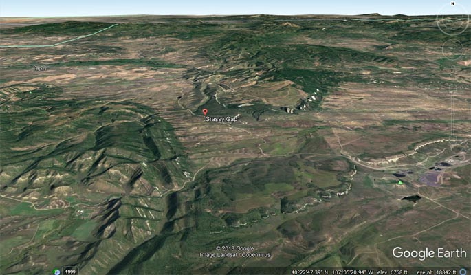
Google Earth |
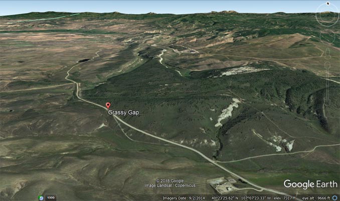
Google Earth |
Garmin MapSource |
#108 - photos by Randy Bishop, 8/11/2007
At the summit. |
At the summit, looking north. |
At the summit, looking south. |
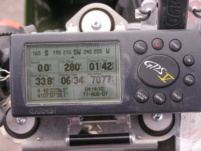
At the summit. |
| Feature Name | ID | Class | County | State | Latitude | Longitude | Ele(ft) | Map | BGN Date | Entry Date |
| Grassy Gap | 171346 | Gap | Routt | CO | 402305N | 1070757W | 7057 | Mount Harris | - | 13-OCT-1978 |