
Great Divide
|
Great Divide |
Great Divide - Moffat County - Colorado - 6,800 feet
Little Snake River to north. Yampa River to south.
Other name: Iron Springs Divide
Great Divide runs east of Bald Mountain for about 5-15 miles.
North of Maybell via county roads.
gravel - dual sport
photos by Dave Vining, 6/24/2020
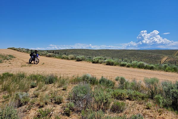
At the summit. |
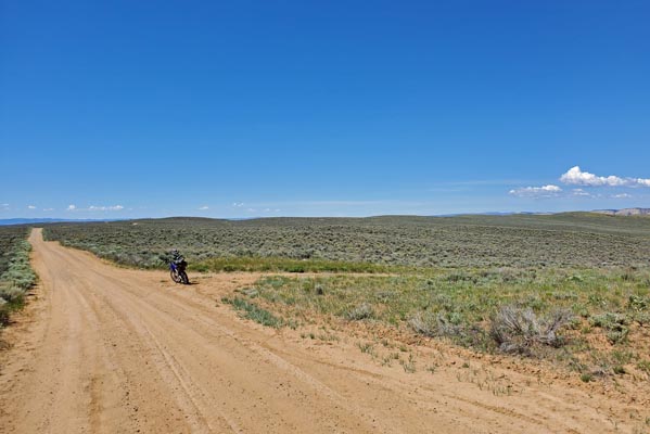
At the summit. |
At the summit. |
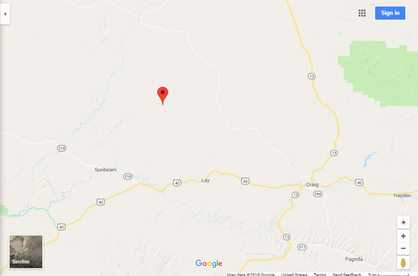
Google Maps |
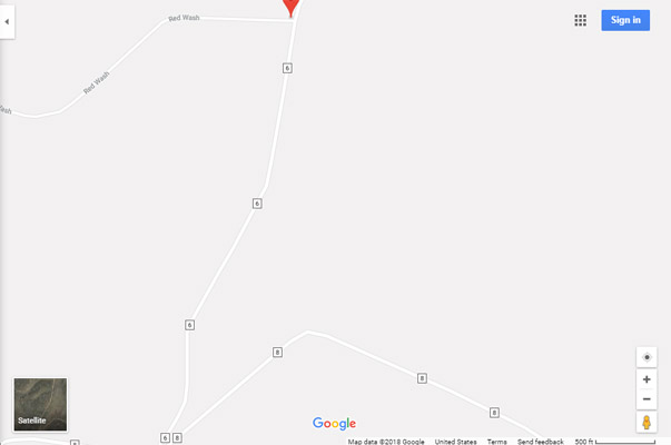
Google Maps |
Google Earth |
Google Earth |
Garmin Mapsource |
Garmin Mapsource |
Notes and images by Scott Westfall, 2/18/2018.
Google Earth Map |
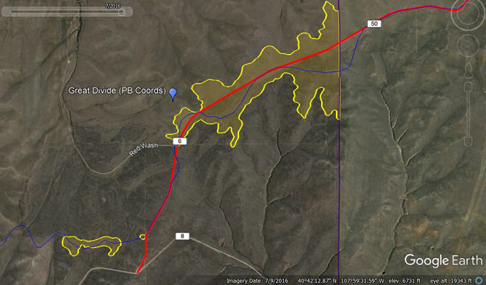
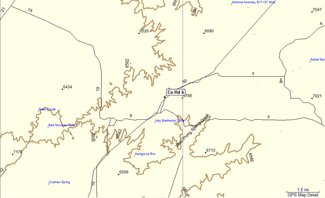
Google Earth Map with Contours |
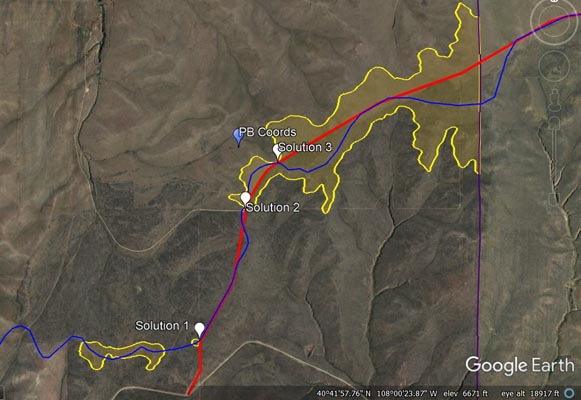
Google Earth Map with Solutions |
The exact location of a single distinct crossing over Great Divide appears to be in doubt.
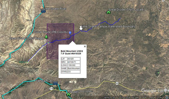
Let's start with the fact that it is clear the USGS location near CR-150 on the northwest ridge of Bald Mountain is not
the right spot. It is not a saddle between two peaks and it is not near any watershed boundary.
The PB spreadsheet lists Helmuth as the only published source for a description of this pass. They describe the crossing
over Great Divide as generally southwest of the Great Divide township, but also gives us four other specific criteria:
1) Within the Bald Mountain USGS 7.5' Quad Map, 2) At 6800 ft elevation, 3) On CR-6, and 4) on the Little Snake/Yampa
River watershed boundary.
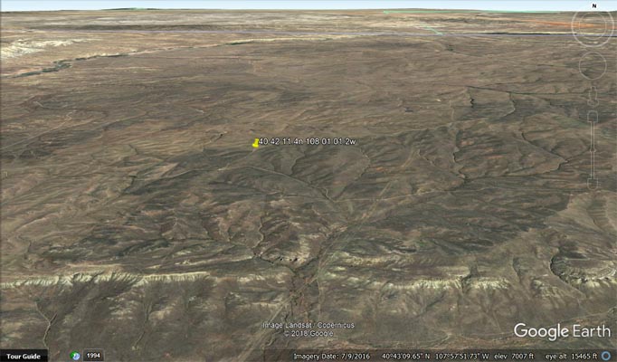
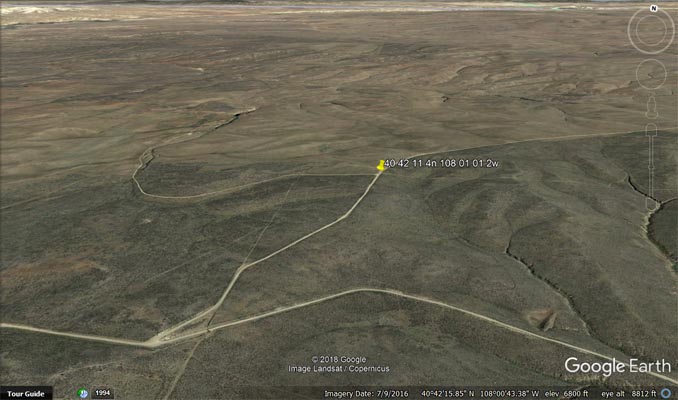
Using Google Earth, I marked these criteria in different colors and overlaid them a satellite image of the area. Then it
was just a matter of finding a place where all Helmuth's criteria are met, in other words, where the yellow (6800' contour)
blue (watershed boundary) and red (CR-6) lines intersect within the purple box (Bald Mountain Quad). I found only three
locations where this conjunction occurs, 1) 40°41'45.6"N 108° 01'13.2"W , 2) 40°42'11.4"N 108° 01'01.2"W ,
3) 40°42'20.9"N 108° 00'52.7"W .
Solution 2 on the attached screenshots seems like that would be the best place to list Great Divide in the
Pass Bagger spreadsheet.
Google Maps |
Google Maps |
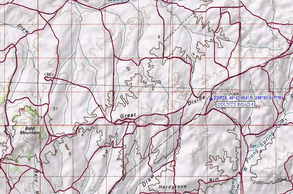
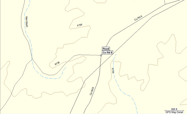
Topo map |
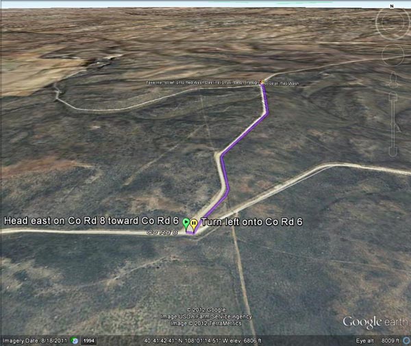
Google Earth |
Notes by Randy Bishop, 2012.
Helmuth's states, "Great Divide is passenger-car-accessible on county road #6. In 1918 and in the 1930's this pass was
called Iron Springs Divide, but no road was shown on maps of that period, just a geographic ridge line. ... The divide
itself is southwest of the old town of Great Divide."
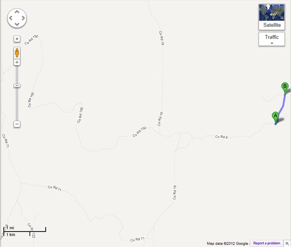
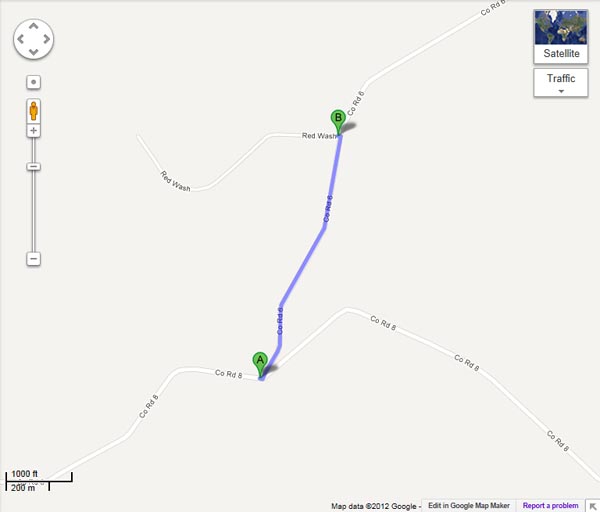
It appears that the crossing of the Great Divide, described by the Helmuths, is on CR-6, about 40 42 24.0N 108 01 02.8W.
The intersection of CR-8 and CR-6 is also a possiblity. CR-8 climbs from the east to the intersection of CR-6, where the
altitude is 6800' as shown in Helmuth's, then descends to the west. These locations are about 6 miles east of where Karst
and the guys were (near the coordinates in the spreadsheet).
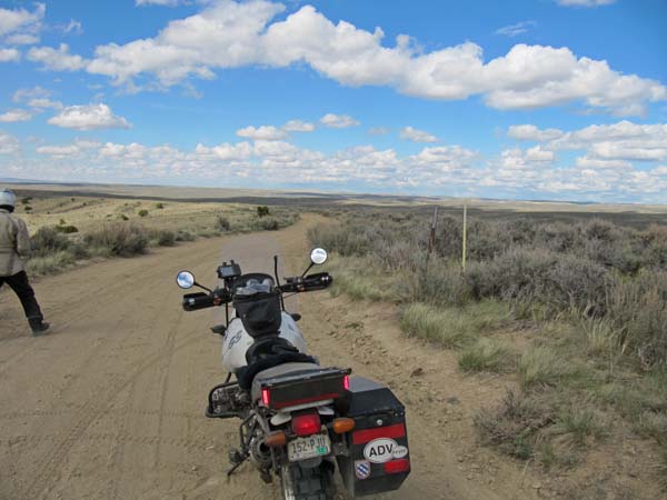
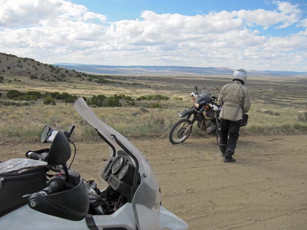
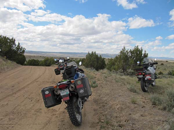
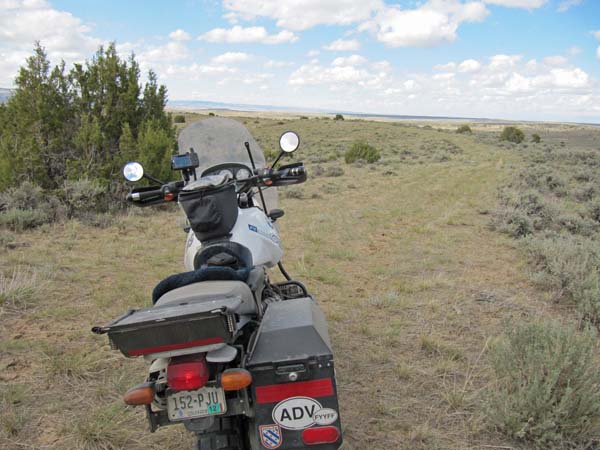
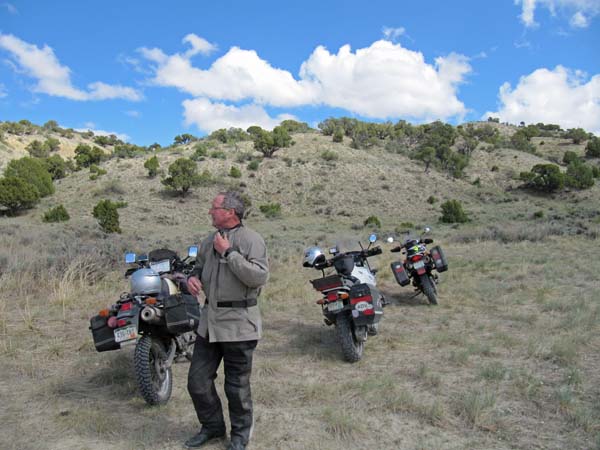
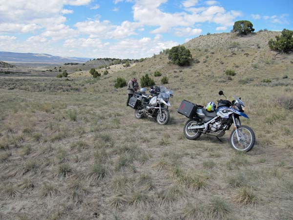
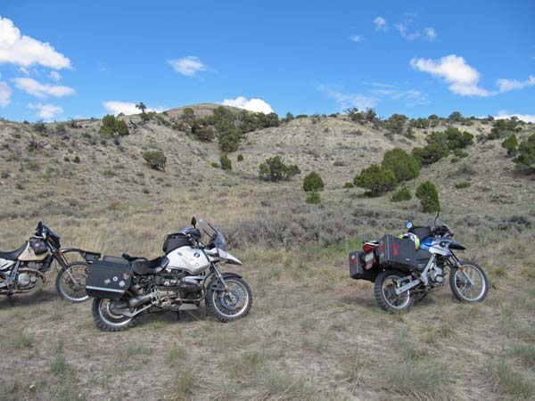
photos by Karst Postma, 5/19/2012
Possible summit location number 1. Shown as "A" on the Google Maps, below.
At the location. |

At the location. |
At the location. |
At the location. |

At the location. |

At the location. |
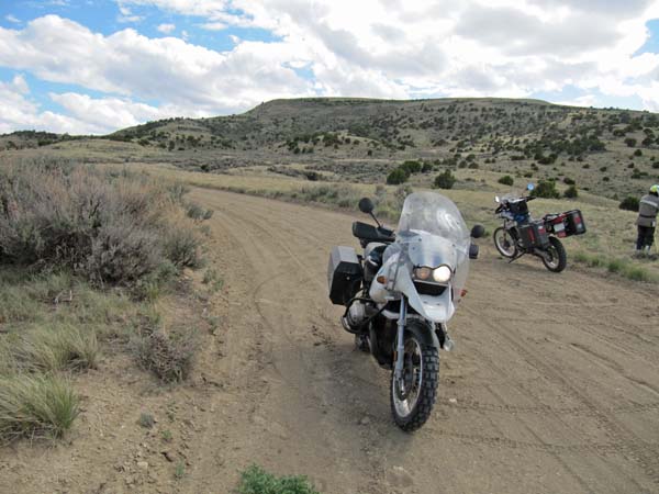
Possible summit location number 2. Shown as "B" on the Google Maps, below.
At the location. |
At the location. |
At the location. |

At the location. |

At the location. |
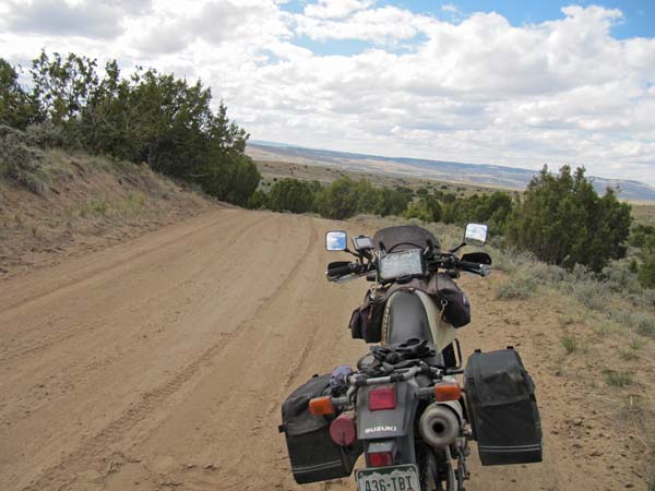
A dead-end that was checked out.
At the location. |
At the location. |
At the location. |
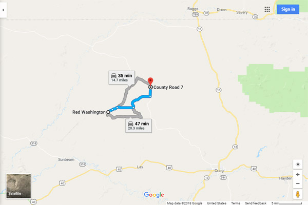
On Google Maps, "A" is first possible location, "B" is second possible location, "C" is location from spreadsheet.

Google Maps |
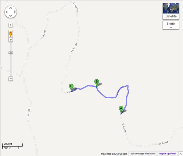
Google Maps |
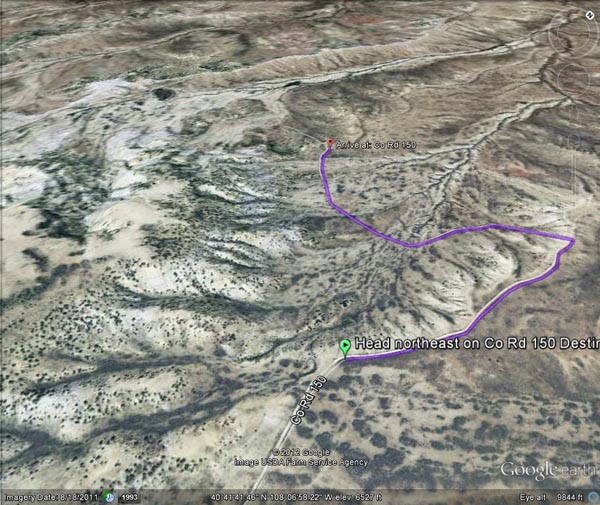
Google Earth |

Garmin |
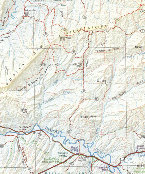
A map. |
(Every once in a while we discover things like this when exploring some of the less well-known passes.)
| Feature Name | ID | Class | County | State | Latitude | Longitude | Ele(ft) | Map | BGN Date | Entry Date |
| Great Divide | 170723 | Ridge | Moffat | CO | 404140N | 1080742W | 6453 | Ninemile Hill | - | 13-OCT-1978 |
| Great Divide | 169827 | Locale | Moffat | CO | 404703N | 1075017W | 6906 | Great Divide | - | 13-OCT-1978 |
Google Maps |

Google Maps |
From www.colroadohistory.com: Great Divide in Moffat county. This town, established in 1916, is best noted for it's
community newspaper of 1917-1918 called "The Great Divide Sentinel" which was also a weekly feature in the Denver Post
called "The Great Divide" from 1914-1918. Iron Springs Divide appears on old maps to be running on the south side of
this site.
From https://coloradoencyclopedia.org/article/moffat-county: The Great Divide Homestead Colony northwest of Craig
represents the high hopes and disappointment that came with this and nearly every other boom period in Moffat County.
Dry-land farming booster Volney T. Hoggatt secured some 275,000 acres for the colony, and the first settlers arrived in
1916. They had some initial success but were eventually plagued by poor soil quality and lack of water. Although it
survived into the 1930s, the colony never became the large, productive farming community that many hoped it would.
For more information about Moffatt County, visit the Museum of
Northwest Colorado in downtown Craig, Colorado.