
Gunsight Pass
|
Gunsight Pass |
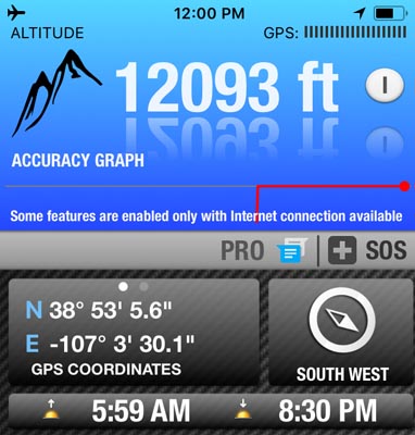
Gunsight Pass - Gunnison County - Colorado - 12,080 feet
(other name: Oh-be-joyful)
Oh-be-joyful Creek to north. Coal Creek to south.
Northwest of Crested Butte via FR-734 (Slate River Road) and FR-585.
gravel - dirt bike or dual sport
photos by John Meyer, 7/20/2018
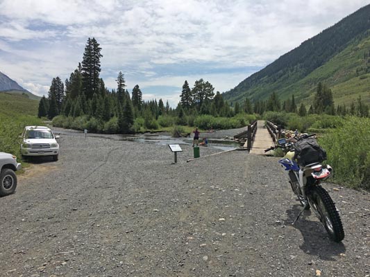
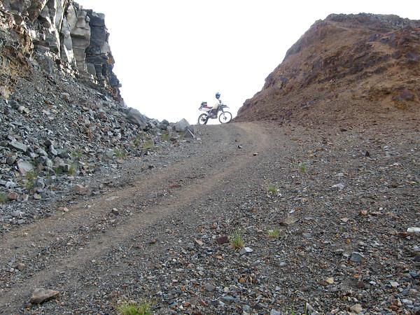
By FR-734 at Gunsight Bridge over the Slate River. |
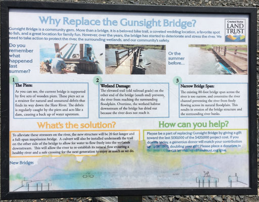
By FR-734 at Gunsight Bridge over the Slate River. |
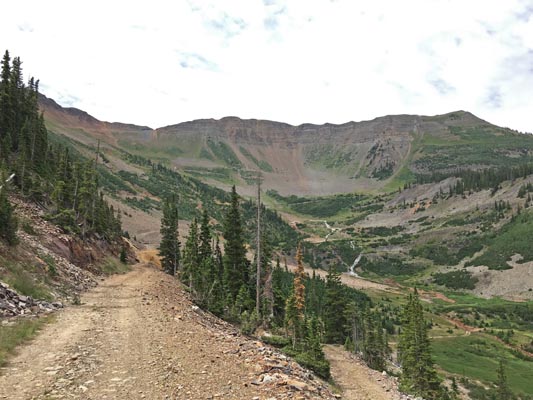
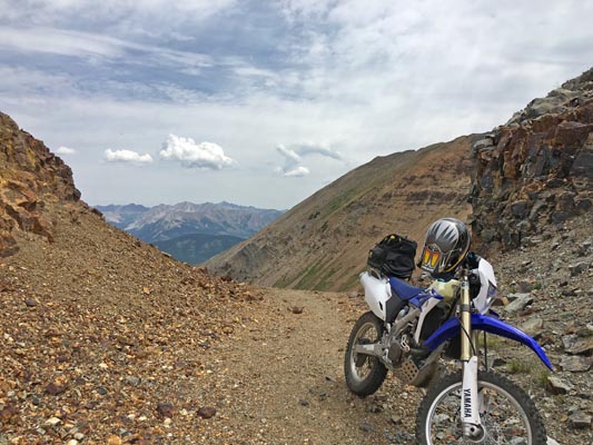
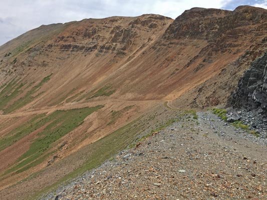
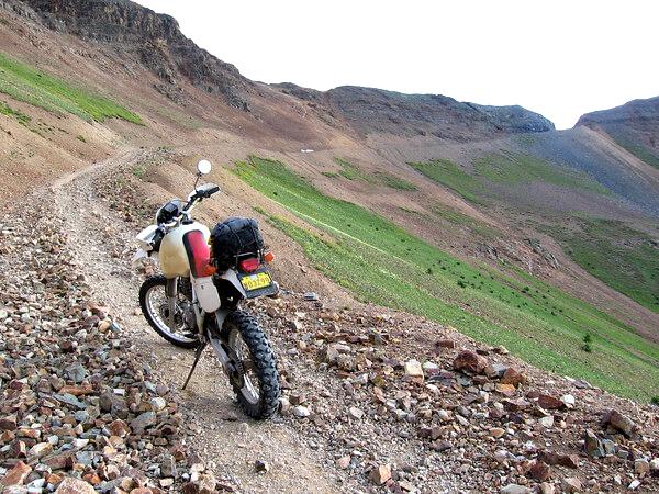
Heading southwest toward the summit. |
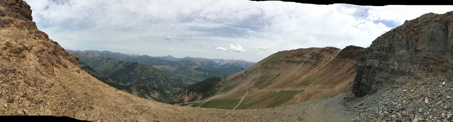
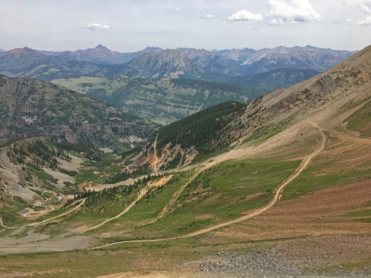
At the summit, looking south. |
At the summit, looking south. |
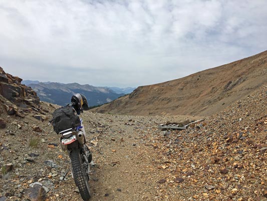
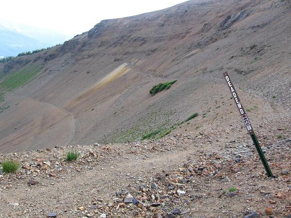
At the summit. |
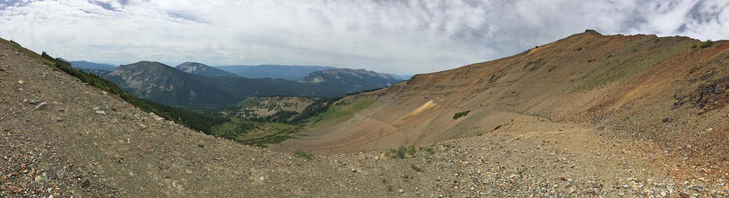
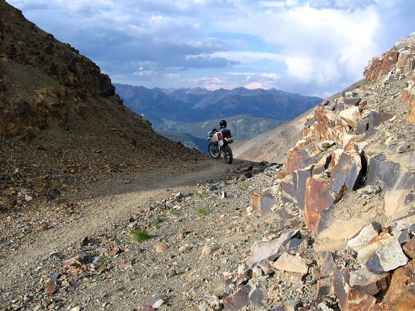
At the summit, looking north. |
At the summit, looking north. |
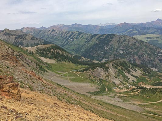
At the summit, looking north. |
At the summit, looking north. |
At the summit, looking north. |
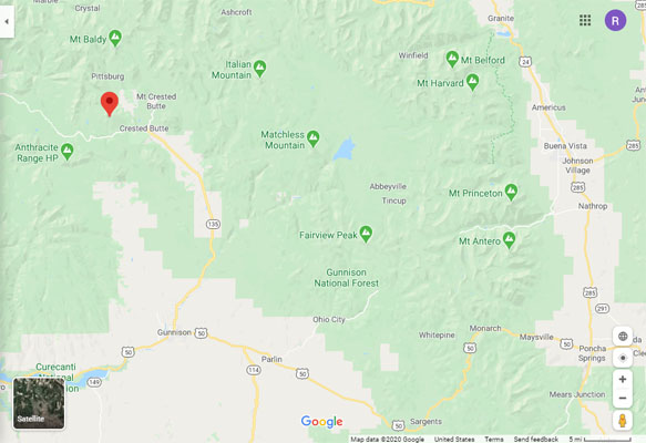
Google Maps |
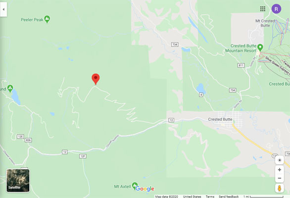
Google Maps |
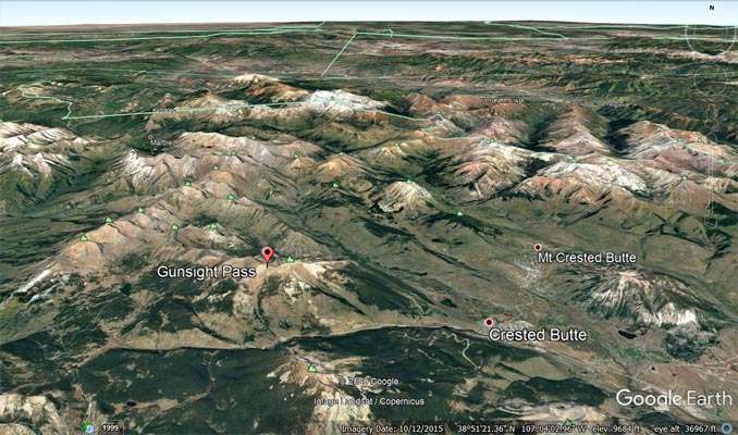
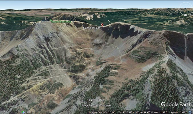
Google Earth |
Google Earth, looking north. |
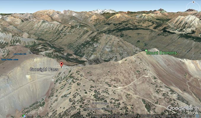
Google Earth, looking southwest. |
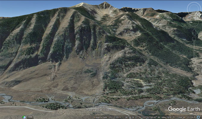
Google Earth, looking south. |
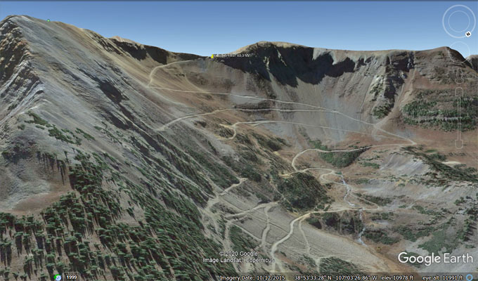
Google Earth, looking southwest. |
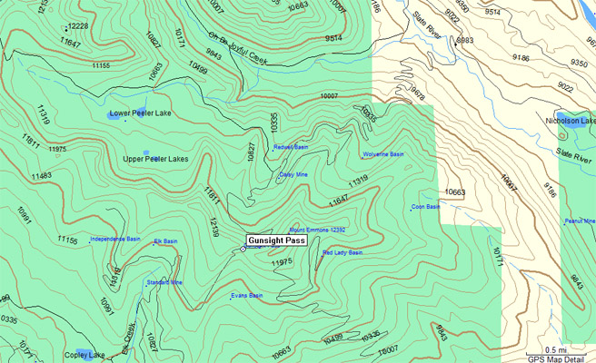
Garmin MapSource |
photos by Curtis Kohl, 7/15/2007
Looking south toward the summit. |
Looking south at the summit. |
At the summit, looking south. |
At the summit, looking north. |

At the summit, looking north. |

Two switchbacks below summit, looking north. |
| Feature Name | ID | Class | County | State | Latitude | Longitude | Ele(ft) | Map | BGN Date | Entry Date |
| Gunsight Pass | 186436 | Gap | Gunnison | CO | 385305N | 1070331W | 12057 | Oh-be-joyful | - | 13-OCT-1978 |
| Daisy Mine | 186439 | Mine | Gunnison | CO | 385336N | 1070311W | 10892 | Oh-be-joyful | - | 13-OCT-1978 |
| Redwell Basin | 186440 | Basin | Gunnison | CO | 385348N | 1070314W | 10571 | Oh-be-joyful | - | 13-OCT-1978 |