
Hagerman Pass
|
Hagerman Pass |
Hagerman Pass - Lake / Pitkin Counties - Colorado - 11,925 feet - On the Continental Divide
(other names - Cooke, Fryingpan, Frying Pan, Saguache)
Ivanhoe Creek to west. Busk Creek to east.
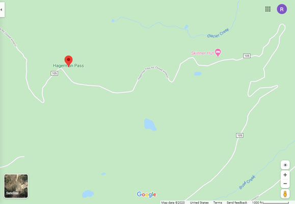
FR-105 west of Leadville
rough gravel - dual sport, although I rode it once on a Honda CB750K
#28 - photos by Randy Bishop, 08/06/2005
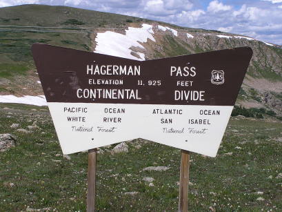
At the summit. |
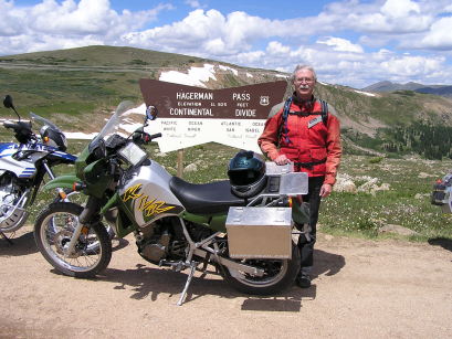
At the summit. |
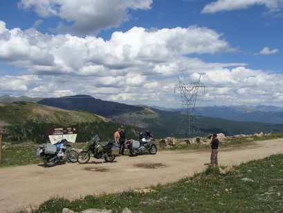
At the summit. |
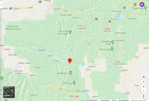
Google Maps |
Google Maps |
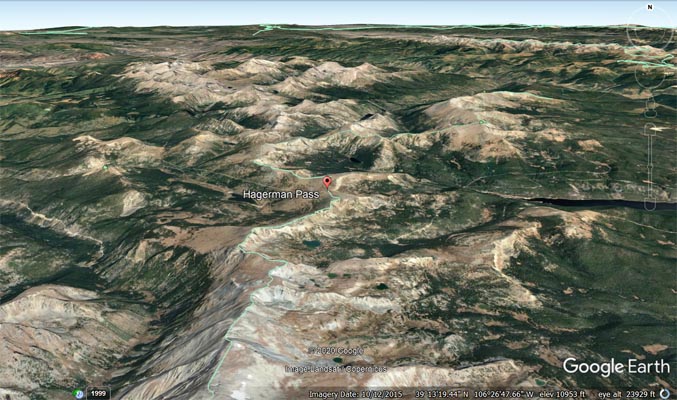
Google Earth |
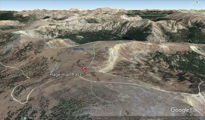
Google Earth |
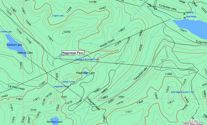
Garmin MapSource |
photos by Randy Bishop, 6/30/1990
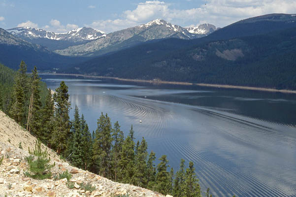
Tuquoise Lake, between Leadville and Hagerman Pass. |
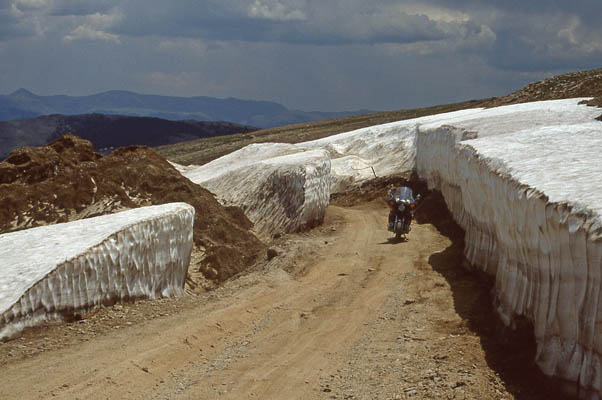
Going uphill toward the summit. |
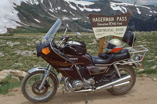
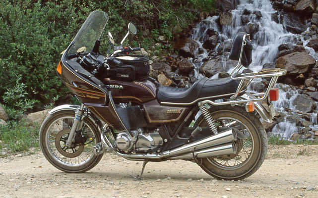
At the summit. 1981 Honda CB750K. |
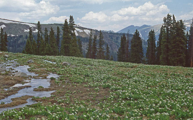
Going back downhill from the summit. |
Going back downhill from the summit. |
| Feature Name | ID | Class | County | State | Latitude | Longitude | Ele(ft) | Map | BGN Date | Entry Date |
| Hagerman Pass | 179816 | Gap | Pitkin | CO | 391554N | 1062902W | 11939 | Homestake Reservoir | - | 13-OCT-1978 |