
Hancock Pass
|
Hancock Pass |
Hancock Pass - Chaffee / Gunnison Counties - Colorado - 12,208 feet on the Continental Divide
Chalk Creek to north. Middle Quartz Creek to south.
Between St. Elmo and Pitkin
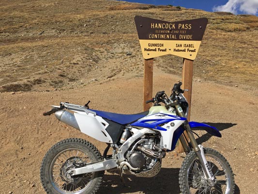
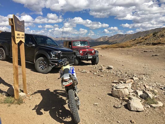
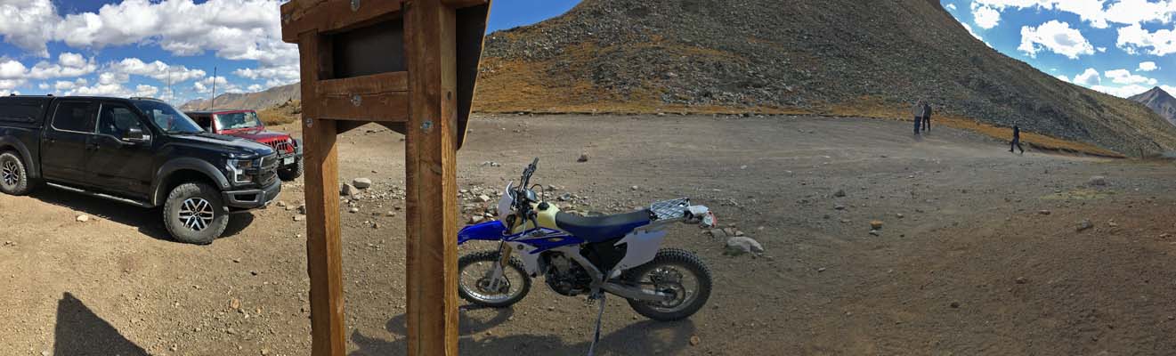
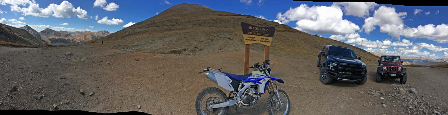
off-road - dirt bike or dual sport
photos by John Meyer, 9/18/2018
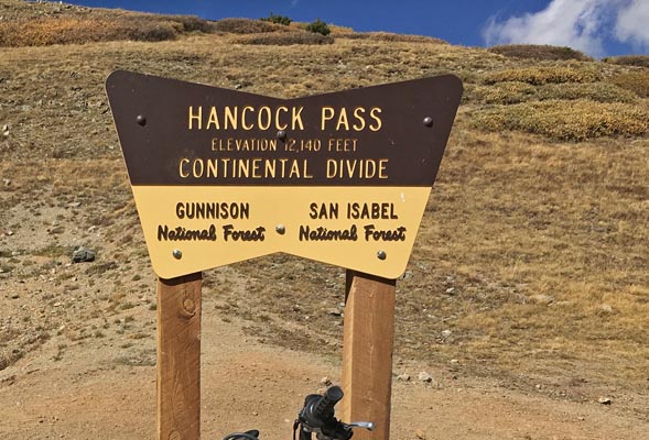
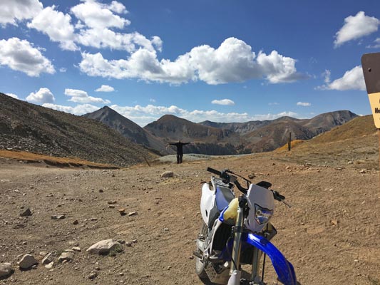
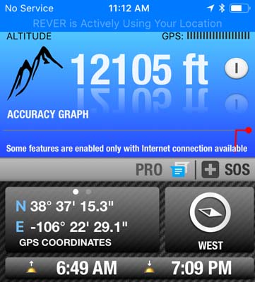
At the summit. |
At the summit. |
At the summit. |
At the summit. |
At the summit. |
At the summit. |
At the summit. |
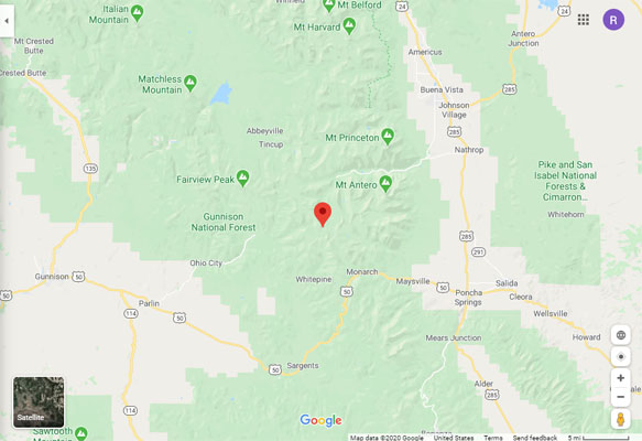
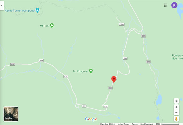
Google Maps |
Google Maps |
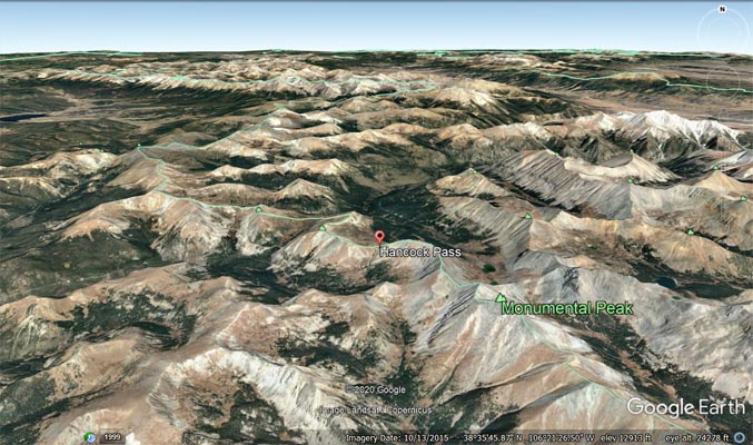
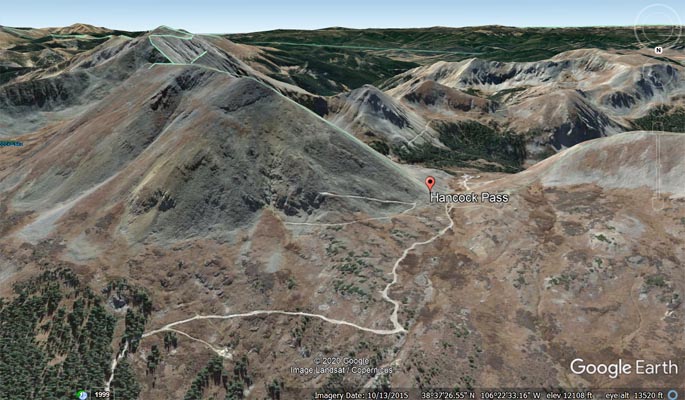
Google Earth, looking north. |
Google Earth, looking north. |
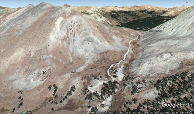
Google Earth, looking south. |
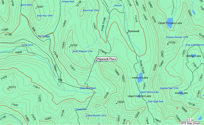
Garmin MapSource |
photos by Chris Wilder and Roamin Carloski
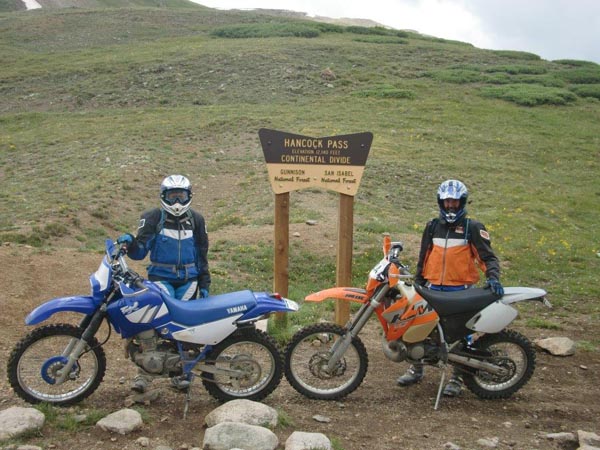
Brandi and Chris at the summit. |
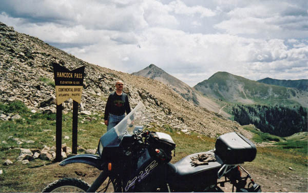
Carl at the summit. |
| Feature Name | ID | Class | County | State | Latitude | Longitude | Ele(ft) | Map | BGN Date | Entry Date |
| Hancock Pass | 189348 | Gap | Chaffee | CO | 3837150N | 1062227W | 12208 | Garfield | 01-JAN-1962 | 13-OCT-1978 |