
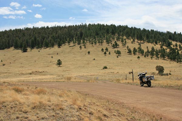
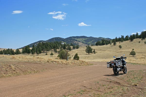
Old Hardscrabble Pass
|
Old Hardscrabble Pass |
Old Hardscrabble Pass - Custer County - Colorado - 9,259 feet
North Hardscrabble Creek to east. Poverty Gulch to west.
CR-329 east of Westcliffe. The old road from Wetmore to Westcliffe.
gravel - dual sport
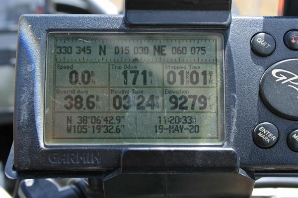
#167 - photos by Randy Bishop, 5/19/2020
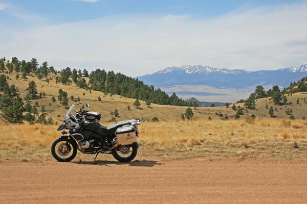
At the summit looking southwest. |
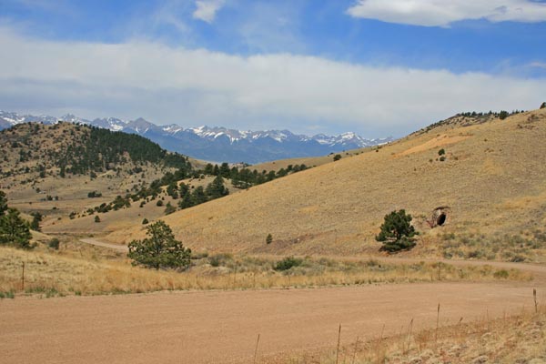
At the summit looking west. |
At the summit looking south. |
At the summit looking southeast. |
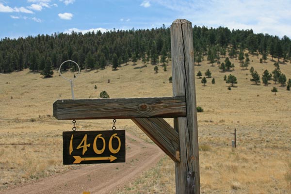
At the summit. |
At the summit. |
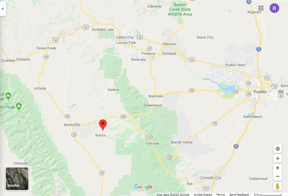
Google Maps |
Google Maps |
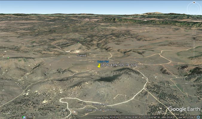
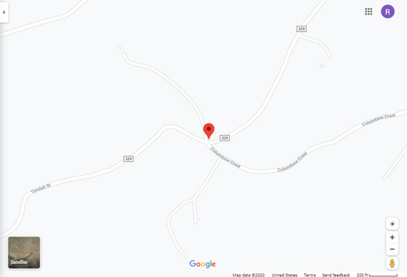
Google Earth |
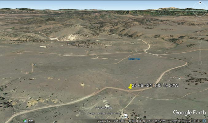
Google Earth |
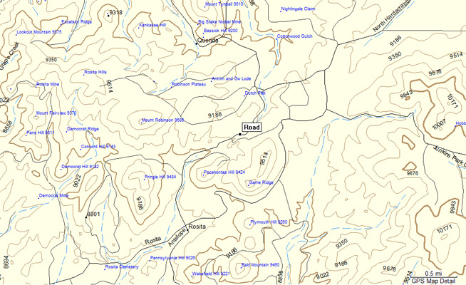
Garmin Mapsource |

San Isabel National Forest map, 1972. |
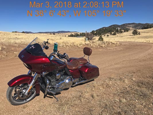
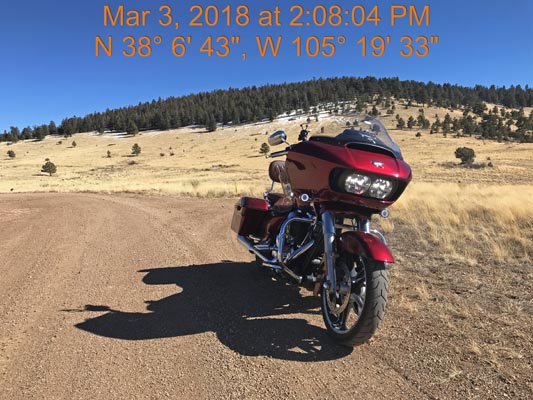
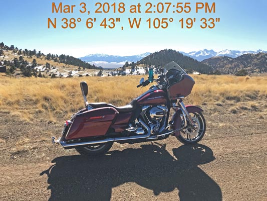
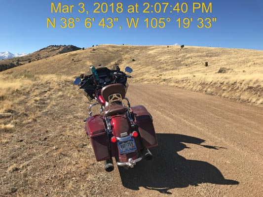
photos by Scott Westfall, 3/3/2018
At the summit looking east. |
At the summit looking southeast. |
At the summit looking southwest. |
At the summit looking west. |
| Feature Name | ID | Class | County | State | Latitude | Longitude | Ele(ft) | Map | BGN Date | Entry Date |
| Hardscrabble Mountain | 192202 | Summit | Custer | CO | 381131N | 1051147W | 10380 | Hardscrabble Mountain | - | 13-OCT-1978 |
| Middle Hardscrabble Creek | 192221 | Stream | Custer | CO | 381112N | 1050618W | 6745 | Wetmore | - | 13-OCT-1978 |
| North Hardscrabble Creek | 192216 | Stream | Custer | CO | 381112N | 1050613W | 6716 | Wetmore | - | 13-OCT-1978 |
| South Fork North Hardscrabble Creek | 192217 | Stream | Custer | CO | 380947N | 1051129W | 8337 | Hardscrabble Mountain | - | 13-OCT-1978 |
| South Hardscrabble Creek | 192232 | Stream | Custer | CO | 381112N | 1050613W | 6716 | Hardscrabble Mountain | - | 13-OCT-1978 |
| South Hardscrabble Park | 192341 | Flat | Custer | CO | 380427N | 1051307W | 10361 | Deer Peak | - | 13-OCT-1978 |