
Hayden Pass
|
Hayden Pass |
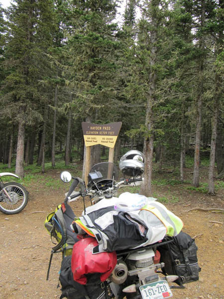
Hayden Pass - Fremont / Saguache Counties - Colorado - 10,709 feet
Hayden Pass Creek to west. Middle Prong Hayden Creek to east.
About 9 miles southwest of Coaldale and US-50 on Hayden Creek Rd (FR-6).
dirt - dual sport
photos by John Meyer, 9/26/2018
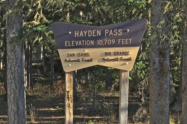
At the summit. |
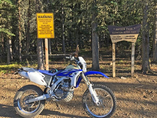
At the summit. |
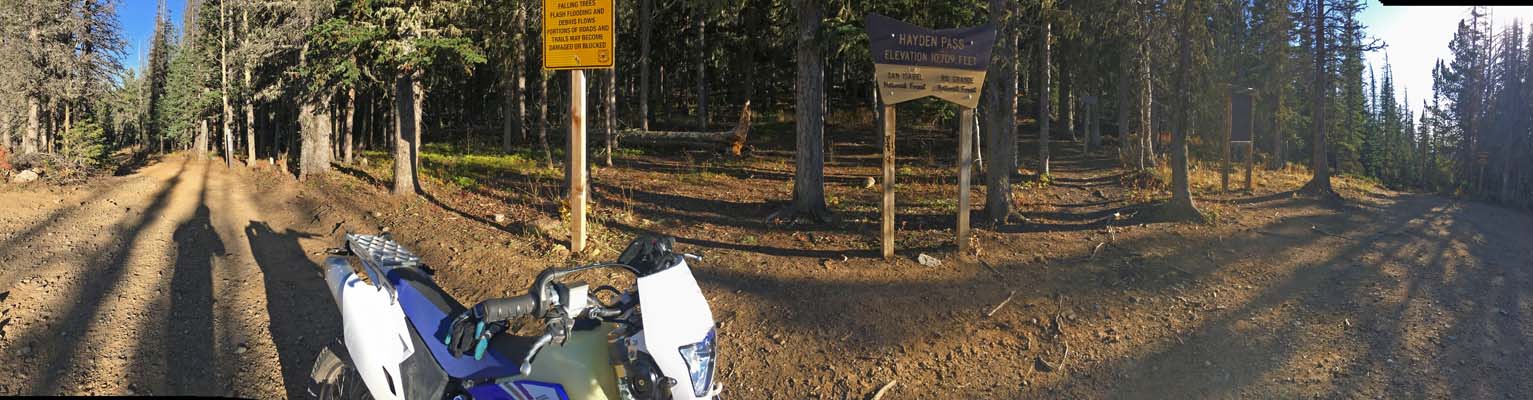
At the summit. |

At the summit. |
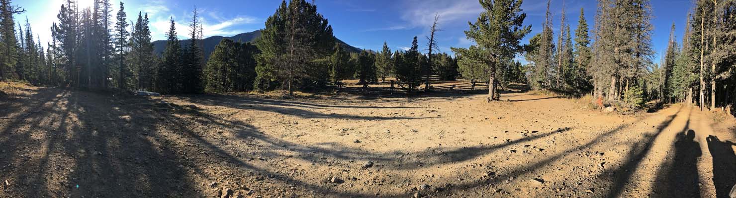
At the summit. |
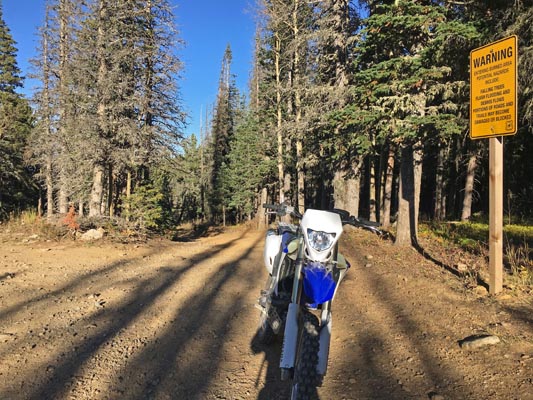
At the summit. |
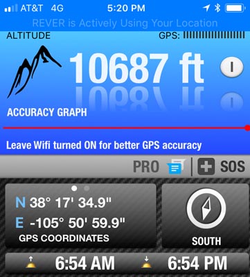
At the summit. |
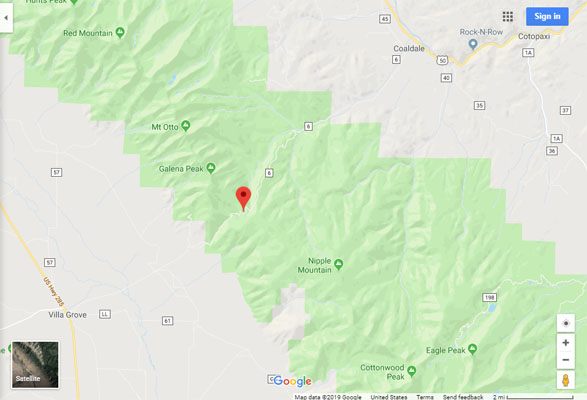
Google Maps |
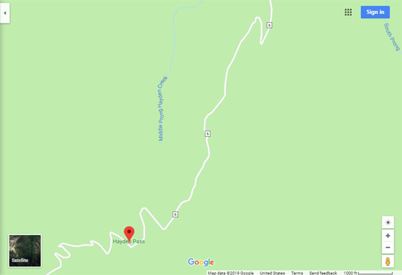
Google Maps |
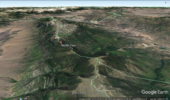
Google Earth |

Google Earth, looking southwest. |
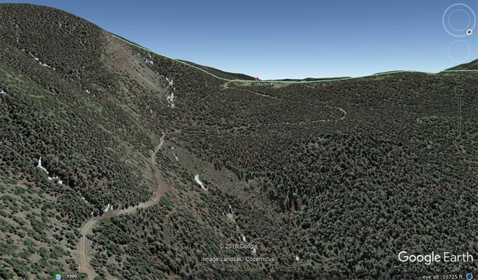
Google Earth, looking southwest. |
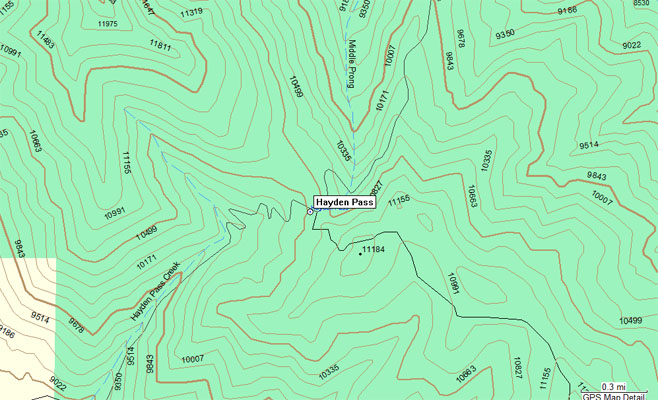
Garmin MapSource |
photos by Karst Postma, 7/16/2014
At the summit. |
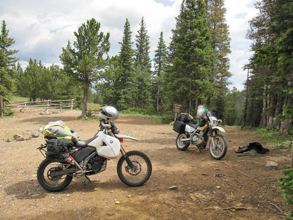
At the summit. |
At the summit. |

At the summit. |
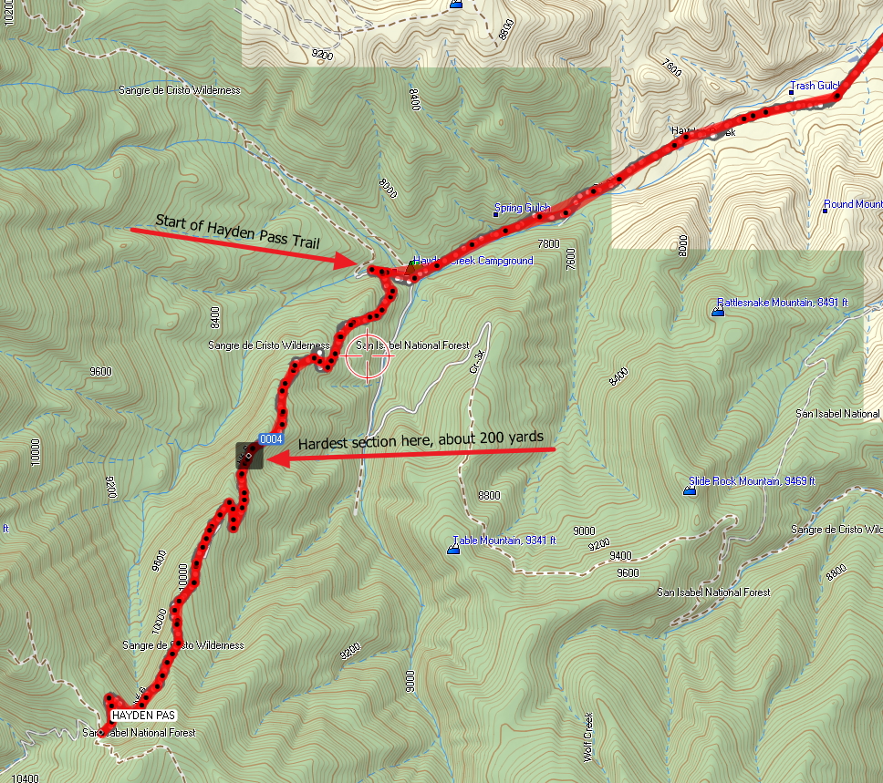
Garmin Mapsource |
Notes from Karst:
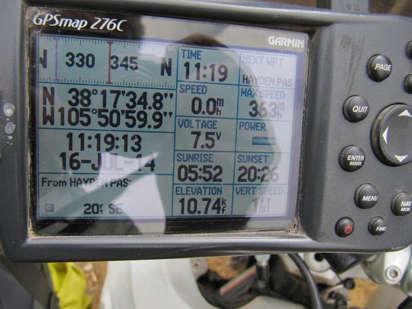
Last Thursday we made it to Hayden Pass. But only from the east side, in and out. It was a rough ride,
with lots of steep and rocky sections. The roughest for us was at N38 18 54.0 W105 50 07.4. If you pass
this point then the rest is easier. I suppose it can be done on a big dual sport bike if it has a low
first gear and the rider has plenty of riding skills, but a smaller bike will make the trip much easier
and enjoyable.
Coming down there were enough sections that were long and steep enough that I did not have enough engine
braking and had to solely rely on my brakes. My rear brake actually overheated and quit working until it
cooled down again. I had not seen that before. YMMV. Overall going down was easier than going up.
As mentioned we did not go on the west side of Hayden. It has the reputation as being one of the most
difficult ones in Colorado.
| Feature Name | ID | Class | County | State | Latitude | Longitude | Ele(ft) | Map | BGN Date | Entry Date |
| Hayden Pass | 191686 | Gap | Saguache | CO | 371735N | 1055102W | 10676 | Coaldale | - | 13-OCT-1978 |