
Height Divide
|
Height Divide |
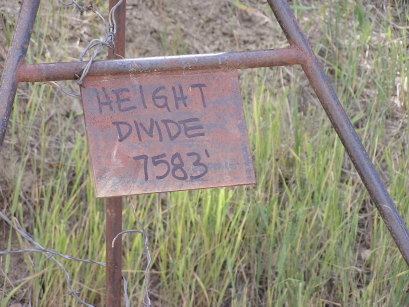
Height Divide - Routt County - Colorado - 7,583 feet
(other name - Hite)
Sage Creek to north. Fish Creek to south.
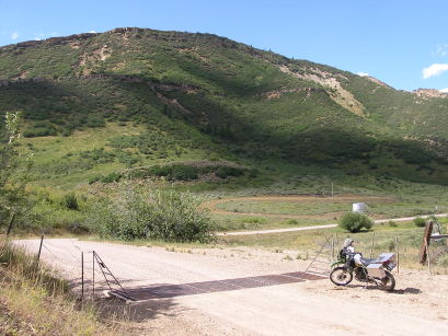
CR-37 southeast of Hayden
gravel - dual sport
photos by Randy Bishop, 9/15/2020
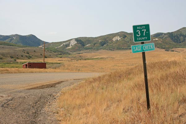
Southeast of the summit, looking west. |
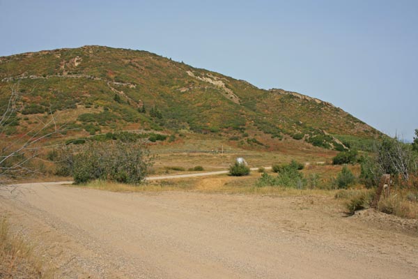
At the summit, looking north. |
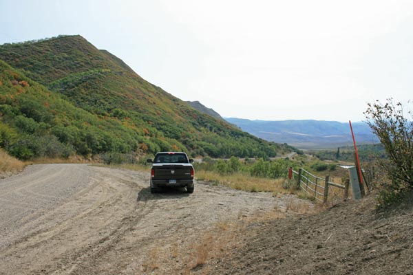
At the summit, looking south. |
At the summit, looking south. |
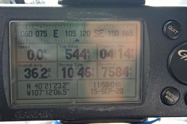
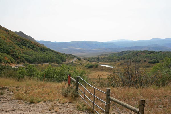
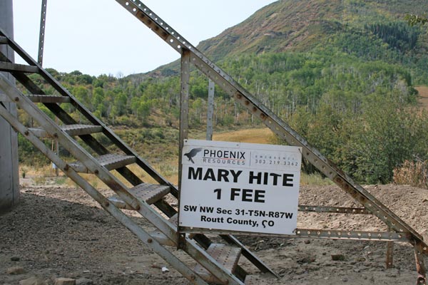
At the summit. |
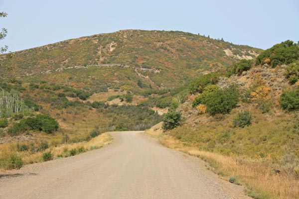
South of the summit. |
South of the summit, looking southeast. |
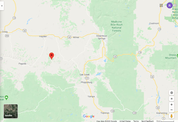
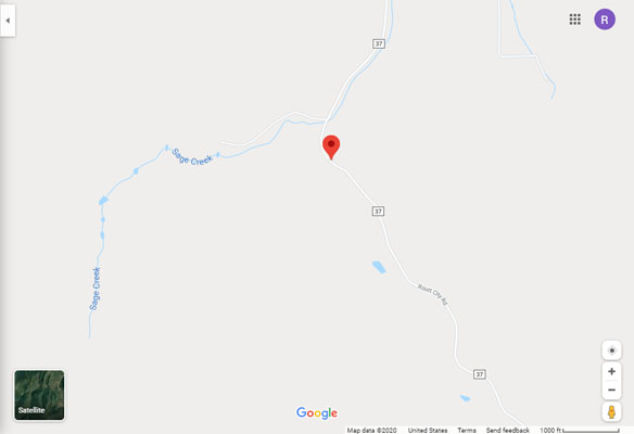
Google Maps |
Google Maps |
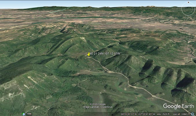
Google Earth |
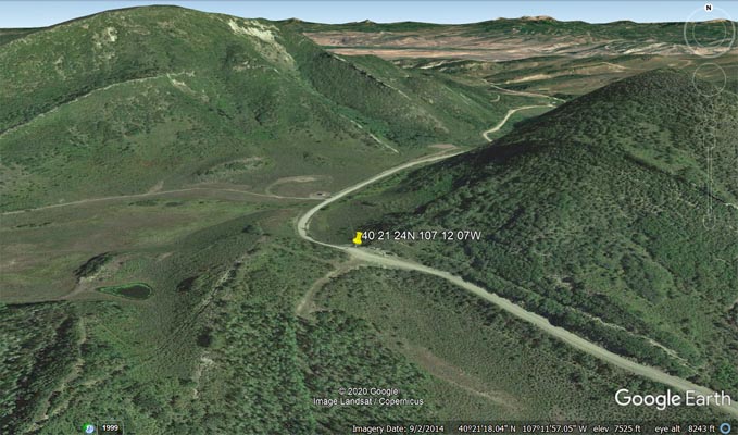
Google Earth |
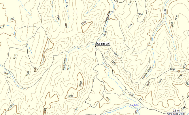
Garmin MapSource |
#107 - photos by Randy Bishop, 8/11/2007
At the summit. |
At the summit, looking north. |

At the summit, looking south. |

At the summit. |