
Hesperus Pass
|
Hesperus Pass |
Hesperus Pass - La Plata County - Colorado - 8,019 feet
La Plata River to west. Wildcat Canyon to east.
Southwest of Durango on CR-125.
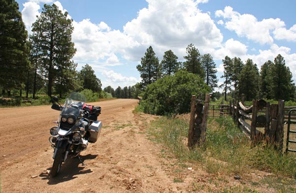
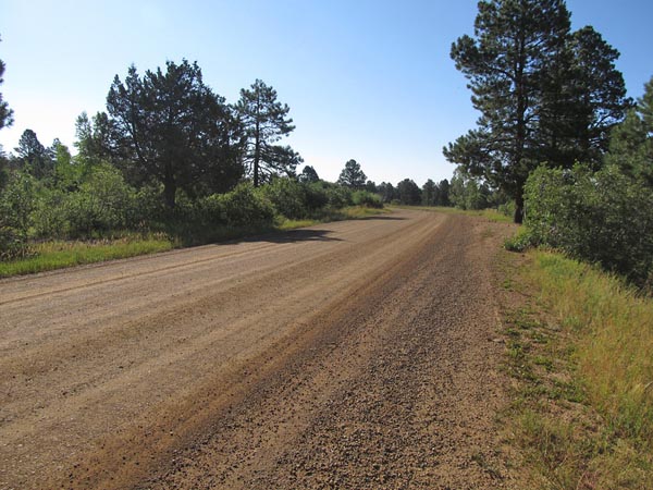
gravel - street bike or dual sport
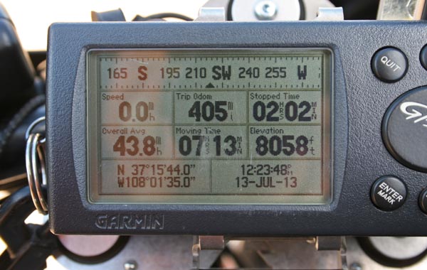
#146 - photos by Randy Bishop, 7/13/2013
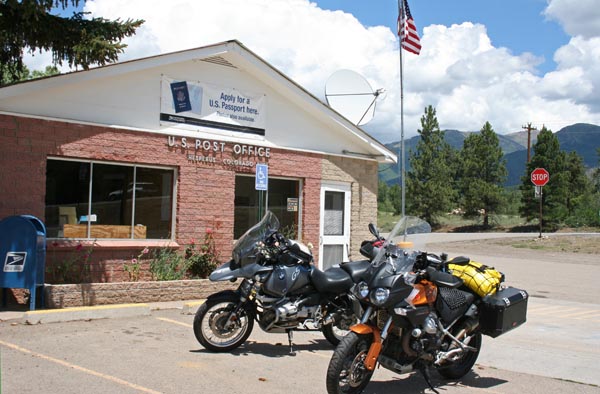
At the nearby town of Hesperus. |
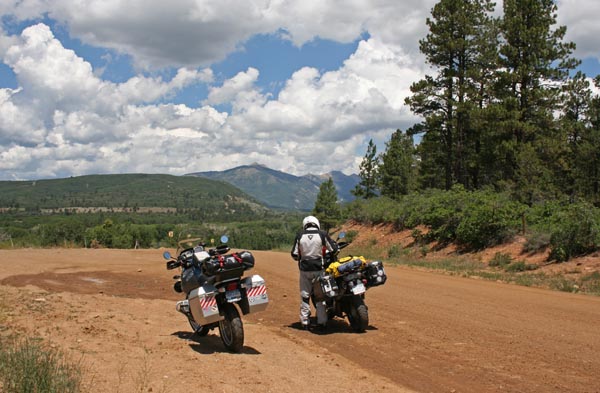
At the summit, looking east. |
At the summit, looking west. |
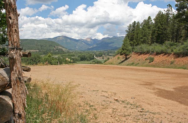
At the summit, looking west toward Hesperus. |
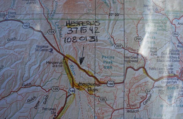
A map. |
At the summit. |
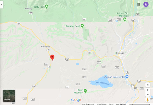
Google Maps |
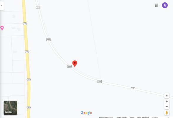
Google Maps |
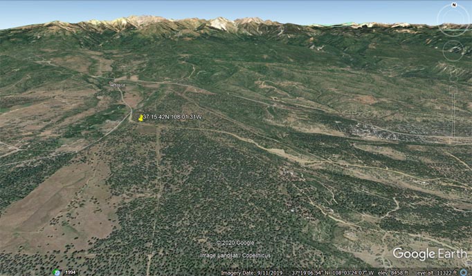
Google Earth |
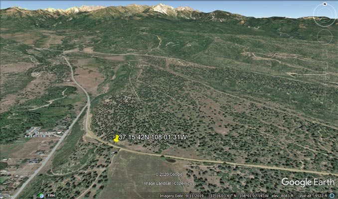
Google Earth |
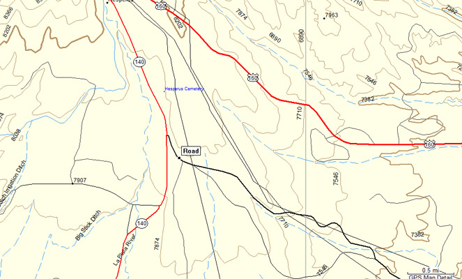
Garmin MapSource |
photos by Curtis Kohl, 6/21/2012

At the summit, looking west. |
At the summit, looking east. |
Helmuth's states, "Hesperus Pass is passenger-car-accessible via county road #125...Locals remember when
the road over the pass was the highway route of US-160. The name Hesperus Hill was used to describe the
pass. Now US-160 follows a new path across the divide north of this older pass."
Wesley M. Howe, in his book "From Basin to Peak: An Explorer's Companion to the Colorado - New Mexico
San Juan Basin", states, "The route of U.S. 160 went this way to get from Durango to Hesperus until a new
highway took a more direct route in the early 1950s. The pass is the transition between the La Plata
River drainage and Wildcat Canyon. The Rio Grande Southern Railroad crossed the divide to the north of
the highway. Hesperus Pass (elev. 8,019 feet) is west from Durango two miles on U.S. 160, then south six
miles on La Plata 141 (Wildcat Canyon Road) and La Plata 125."
| Feature Name | ID | Class | County | State | Latitude | Longitude | Ele(ft) | Map | BGN Date | Entry Date |
| Hesperus Mountain | 179988 | Summit | Montezuma | CO | 372642N | 1080520W | 13212 | La Plata | 01-JAN-1887 | 13-OCT-1978 |
| Hesperus | 179135 | Populated Place | La Plata | CO | 371710N | 1080222W | 8090 | Hesperus | - | 13-OCT-1978 |
| Wildcat Canyon | 179309 | Valley | La Plata | CO | 371558N | 1075518W | 6690 | Durango West | - | 13-OCT-1978 |