
Hoosier Pass
|
Hoosier Pass |
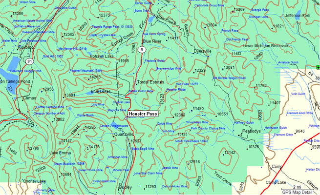
Hoosier Pass - Park/Summit Counties - Colorado - 11,542 feet - On the Continental Divide
Blue River to north. Middle Fork of the South Platte River to south.
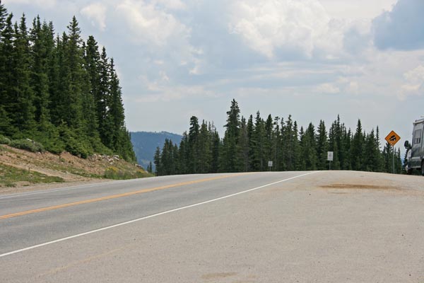
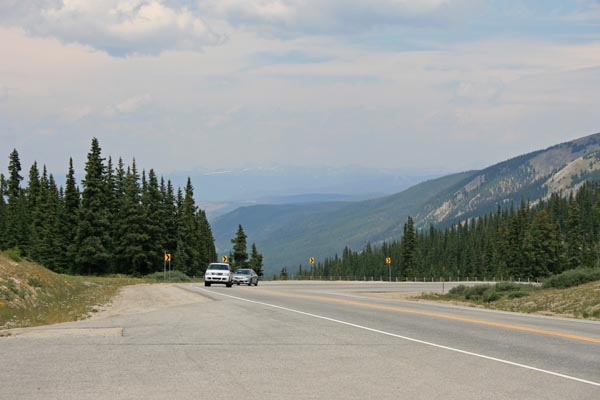
CO-9 south of Breckenridge
pavement - road bike
photos by Randy Bishop, 08/05/2017

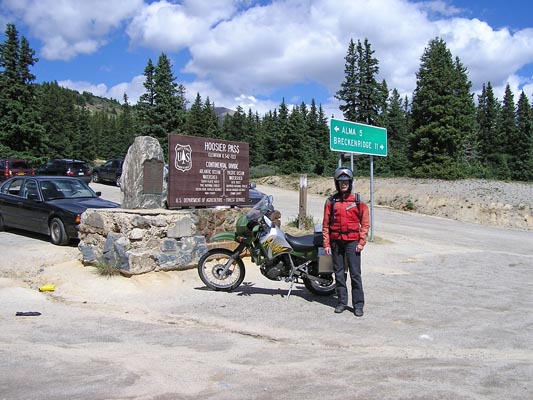
At the summit. |
At the summit. |
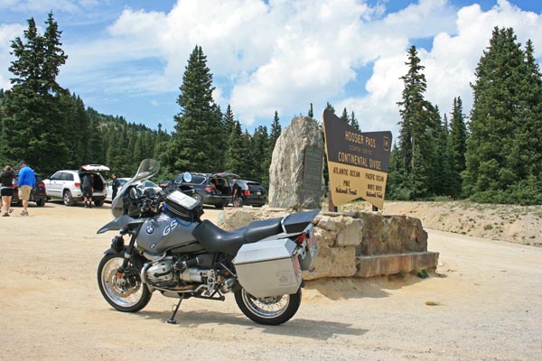
At the summit. 2004 BMW R1150GS |
At the summit, looking south. |
At the summit, looking north. |
At the summit. |

Google Maps |
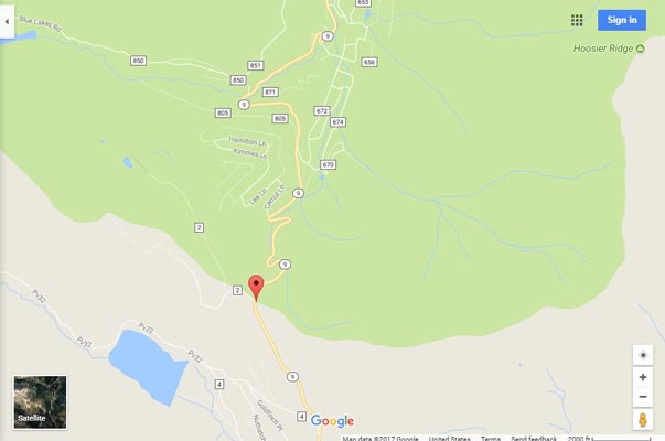
Google Maps |
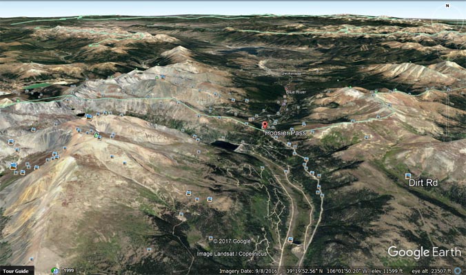
Google Earth |
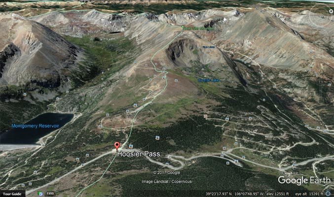
Google Earth, looking west. |
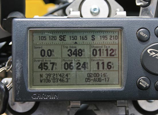
Garmin Mapsource |
#26 - photos by Randy Bishop, 08/06/2005
At the summit. |
At the summit. |
At the summit. 2002 Kawasaki KLR650 |

At the summit. |
photos by Randy Bishop, 06/19/2004
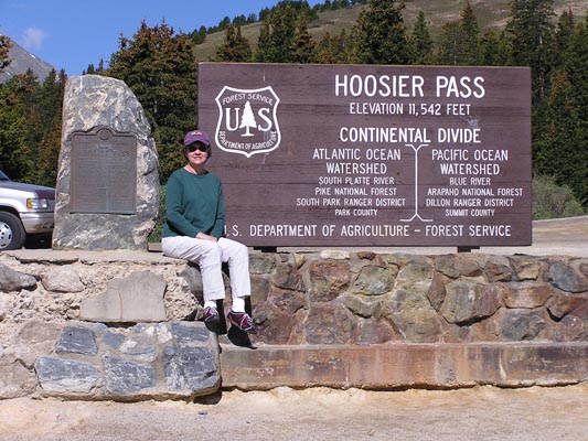
At the summit. |
At the summit. |

At the summit. 2002 Nissan Xterra XE |
photos by Randy Bishop, 6/30/1990
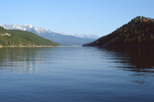
Lake Dillon, 20 miles north of the summit. |
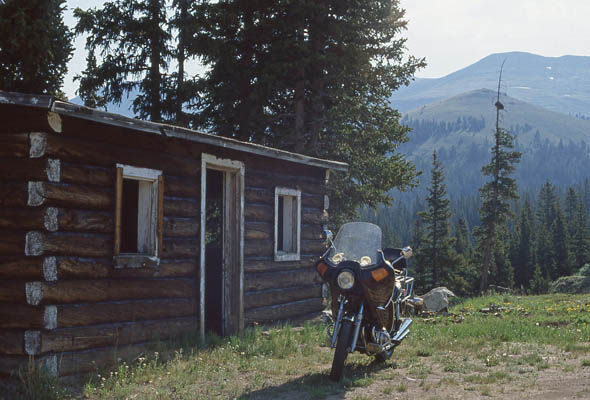
About 4 miles north of the summit. |
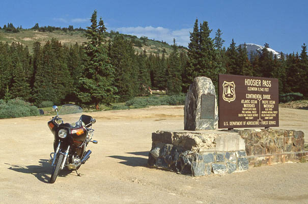
At the summit. 1981 Honda CB750K. |
photo by Randy Bishop, 6/15/1986
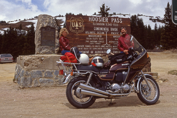
Us at the summit with a 1981 Honda CB750K. |
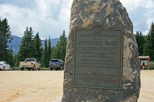
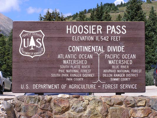
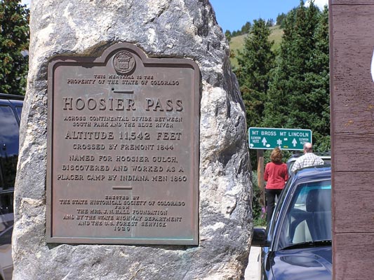
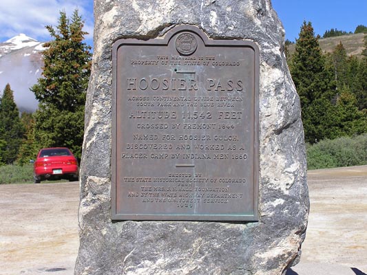
The 1929-vintage
History Colorado (State Historical Society of Colorado) marker reads:
This memorial is the property of the State of Colorado. Hoosier Pass. Across Continental Divide between
South Park and the Blue River. Altitude 11,542 feet. Crossed by Fremont 1844. Named for Hoosier Gulch.
Discovered and worked as a placer camp by Indiana men 1860. Erected by the State Historical Society of
Colorado from the Mrs. J. N. Hall Foundation and by the State Highway Department and the U.S. Forest
Service. 1929.
| Feature Name | ID | Class | County | State | Latitude | Longitude | Ele(ft) | Map | BGN Date | Entry Date |
| Hoosier Pass | 179963 | Gap | Summit | CO | 392142N | 1060345W | 11532 | Alma | - | 13-OCT-1978 |