
Horseshoe Pass
|
Horseshoe Pass |
Horseshoe Pass - Lake / Park Counties - Colorado - 13,180 feet
Empire Gulch to west. Horseshoe Gulch to east
West of Fairplay via 4 Mile Creek Road.
off-road - dirt bike or dual sport
photos by Karst Postma, 8/2/2014
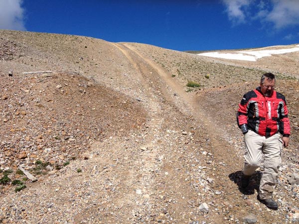
Almost there, last steep section, look to your right to bypass it. |
Bypass for steep section. |
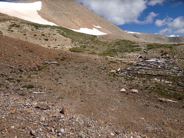
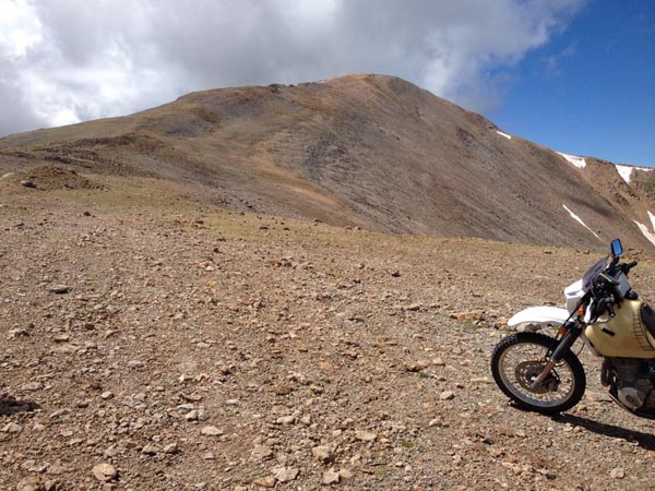
Near the summit. |

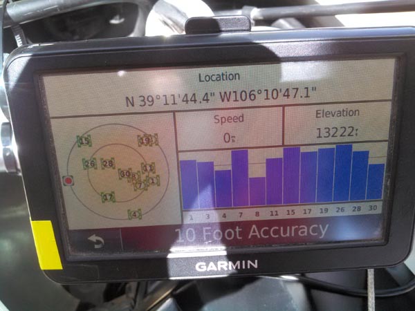
Snow removal on the bypass just before the summit. Note the scree on the left. |

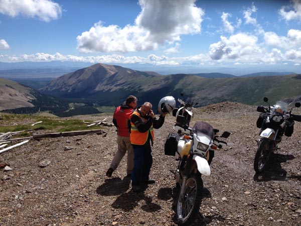
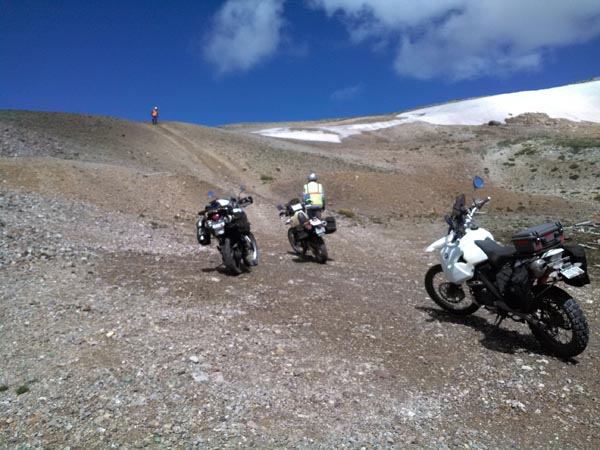
At the summit. |
At the summit. |
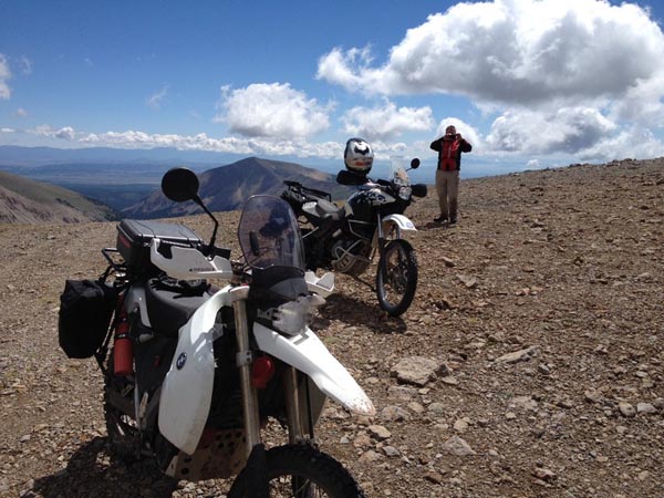
At the summit. |
At the summit. |
At the summit. |
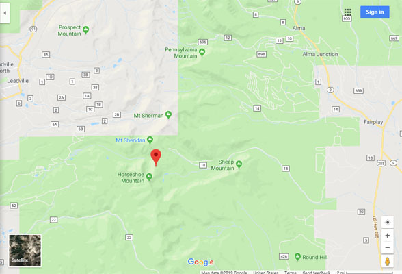
Google Maps |
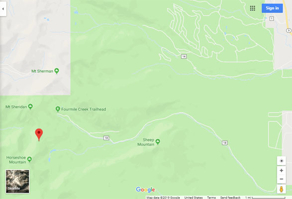
Google Maps |
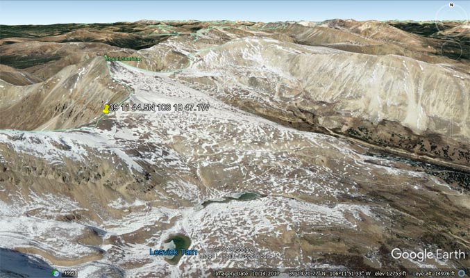
Google Earth |

Google Earth |
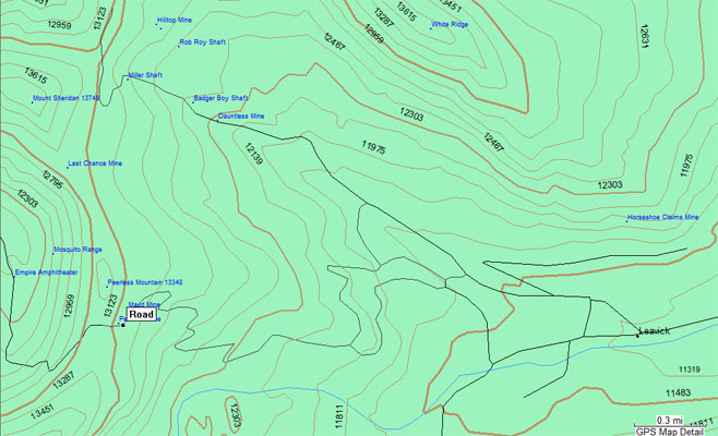
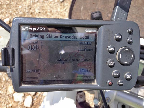
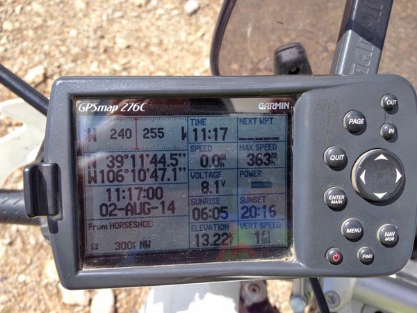
Garmin MapSource |
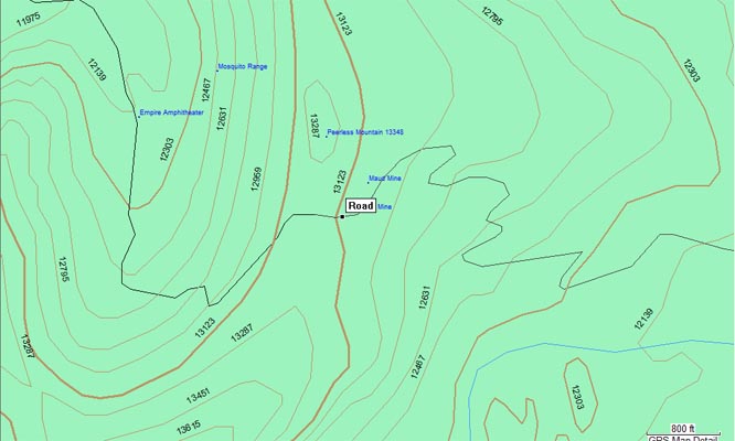
Garmin MapSource |
Notes from Karst:
Jeff Gronski, Paul Shushan and I finally made it to Horseshoe Pass after several failed attempts due to snow. A mile south of Fairplay
turn west on to CR-18. The road starts paved, but gradually worsens until the turnoff for Horseshoe Pass. It never gets really bad, just
rough. At N39 11 56.1 W106 09 03.3 turn left. The road to the pass is obvious from this turnoff. It is very rocky but doable on smaller
dual sport bikes. Larger bikes can make it as well with sufficient rider skills and with a low 1st gear. The road is never steep until the
last 100 yards. You will recognize this last very steep section when you are there. It is probably doable on a small bike with low gear.
Twenty feet before this steep section you can see on your right faint tracks of the old road. Take this bypass to avoid the steep section.
However, this bypass is also most likely the last place where the snow melts off. As you can see on the photos taken on 8/2/2014 we had to
remove some snow to clear a path, but we made it. Do not get off the road here, the scree is treacherous.
This pass is most years only reachable after early of August.
Once on the summit you have some great views over Leadville and Turquoise Lake.
photos by Jeff Gronski, 8/2/2014
Near the summit. |

Near the summit. |

At the summit. |
At the summit |
photo by Karst Postma, 7/11/2013

Near the summit. |
Notes from Karst:
This is what we ran into 7/11/2013, about 2-1/2 miles from the summit. We saw very little snow, but the spot had collected snow from
higher elevations and did not have a chance to melt away yet. Up to that point the road had been rough, but doable, even with a large bike.
| Feature Name | ID | Class | County | State | Latitude | Longitude | Ele(ft) | Map | BGN Date | Entry Date |
| Horseshoe (historical) | 180239 | Populated Place | Park | CO | 391214N | 1060507W | 10558 | Fairplay West | - | 13-OCT-1978 |
| Horseshoe Claims Mine | 1684828 | Mine | Park | CO | 391207N | 1060818W | 11909 | Mount Sherman | - | 30-APR-1996 |