
Iceberg Pass
|
Iceberg Pass |
Iceberg Pass - Larimer County - Colorado - 11,827 feet
Fall River to north. Big Thompson to south.
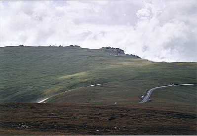
US-34 (Trail Ridge Road) in Rocky Mountain National Park.
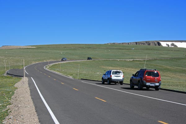
(US-34 runs across the saddle perpendicular to the Iceberg Pass route.)
pavement - road bike
photos by Randy Bishop, 6/29/2017
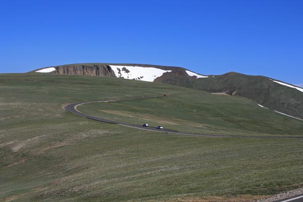
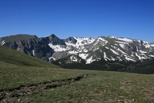
Looking northwest toward the summit. |
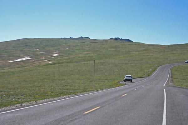
At the summit, looking northwest along the ridge. |
At the summit, looking northeast to Fall River drainage. |
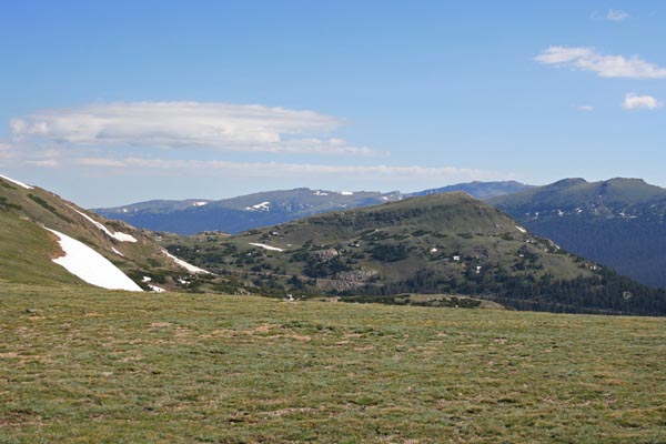
At the summit, looking southeast along the ridge. |
At the summit, looking southwest to Big Thompson drainage. |
At the summit. |
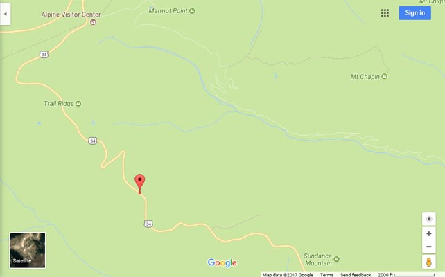
Google Maps |
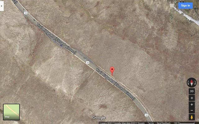
Google Maps |
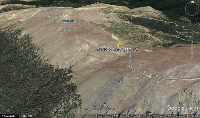
Google Earth, looking north. Big Thompson on left, Fall River on right. |
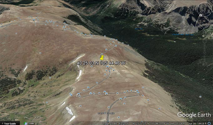
Google Earth, looking southeast. Big Thompson on right, Fall River on left. |
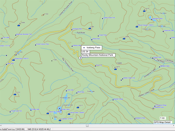
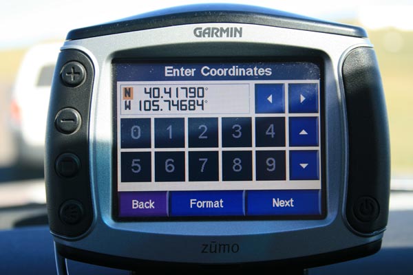
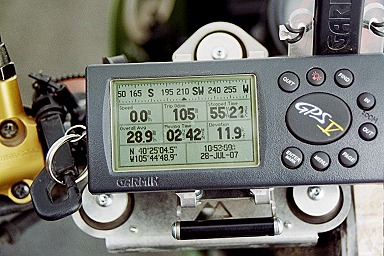
Garmin Mapsouce |
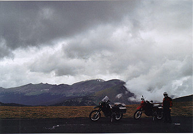
#97 - photos by Randy Bishop, 7/28/2007
Looking at the summit from the north. |
At the summit, looking northeast. |
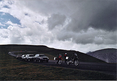
At the summit, looking south. |
At the summit. |
| Feature Name | ID | Class | County | State | Latitude | Longitude | Ele(ft) | Map | BGN Date | Entry Date |
| Iceberg Pass | 177588 | Gap | Larimer | CO | 402503N | 1054446W | 11827 | Trail Ridge | - | 13-OCT-1978 |