
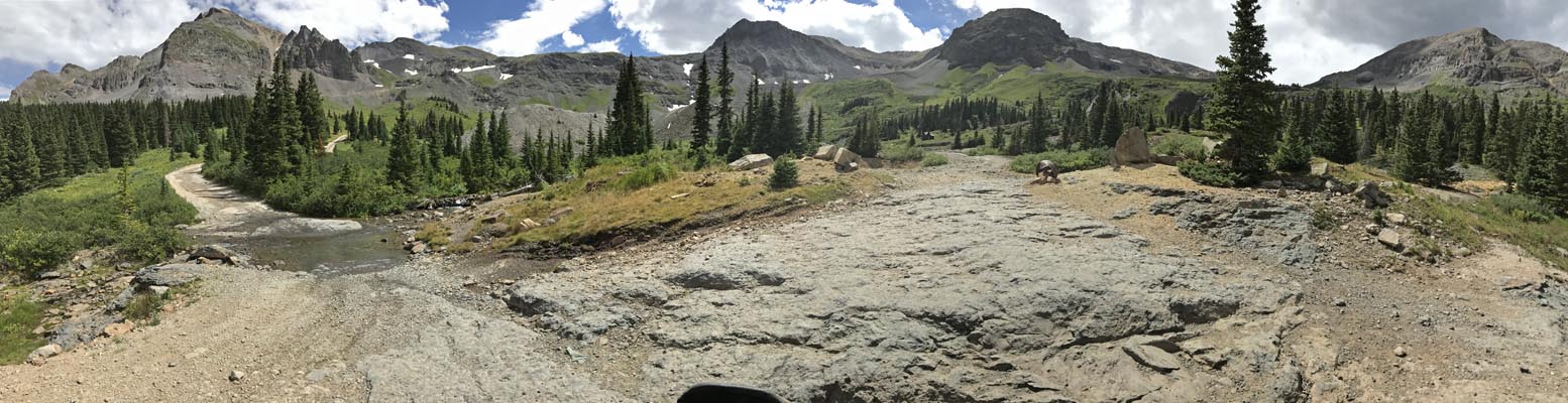
Imogene Pass
|
Imogene Pass |
Imogene Pass - Ouray / San Miguel Counties - Colorado - 13,144 feet
Savage Creek to west. Imogene Creek to east.
Between Ouray and Telluride.
FR-869 (FR-26A) on north side. FR-869 (Tomboy Road) on southwest side.
off-road - dirt bike or dual-sport
Reference: Guide to Colorado Backroads & 4-Wheel Drive Trails, by Charles A. Wells
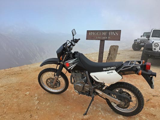
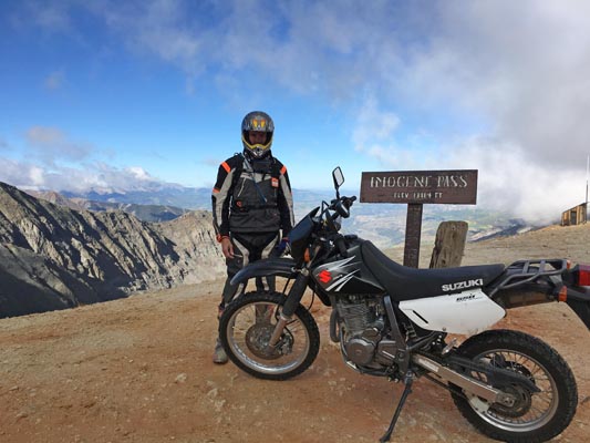
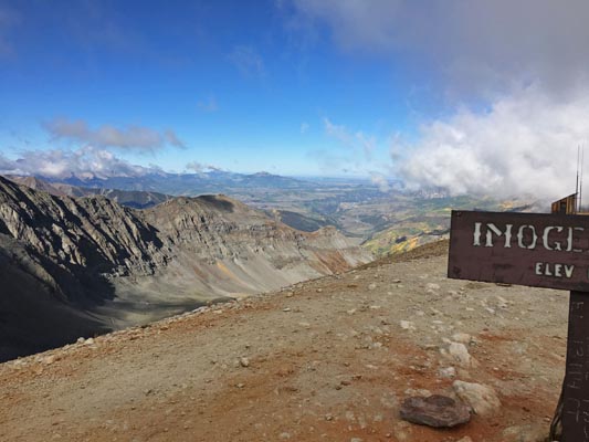
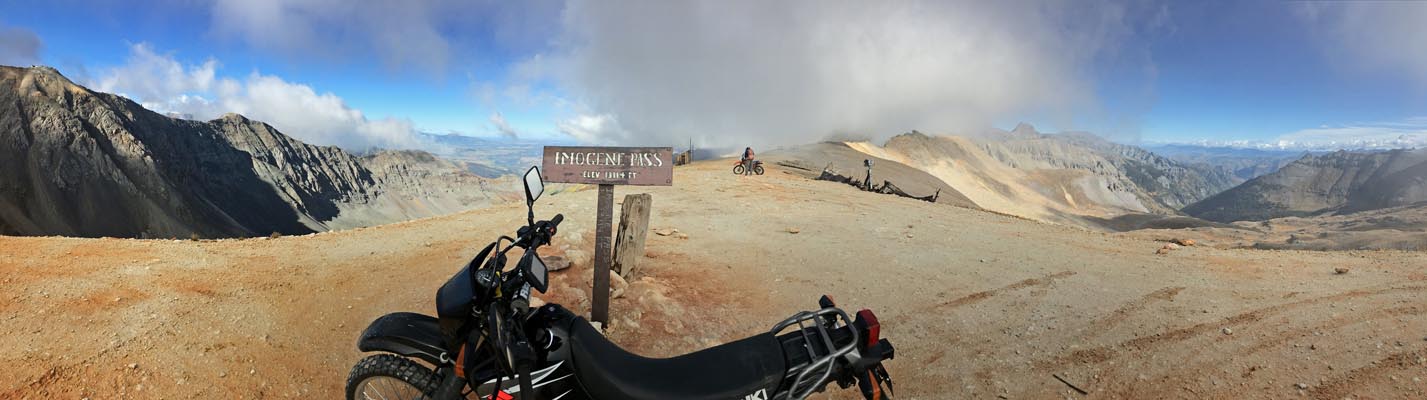
photos by John Meyer, 9/20/2018

At the summit. |
At the summit. |
At the summit. |
At the summit. |
At the summit. |
At the summit. |
At the summit. |
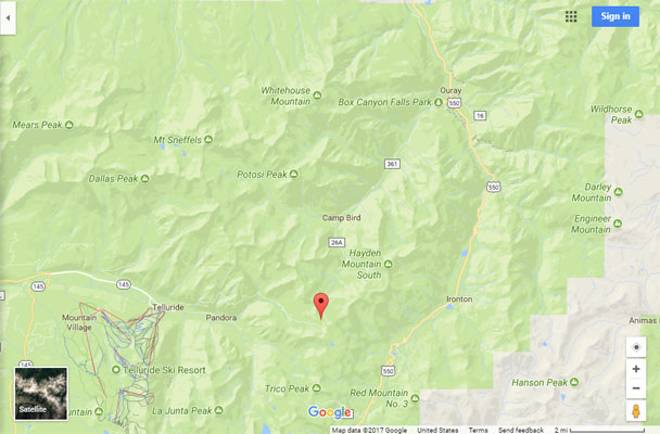
Google Maps |
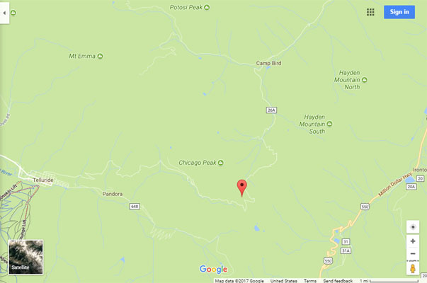
Google Maps |
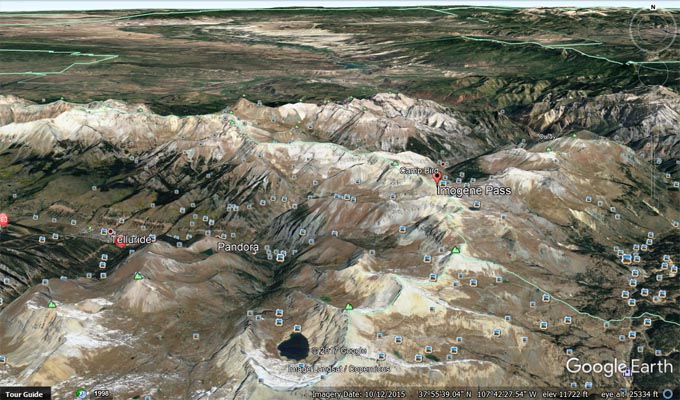
Google Earth, looking north. |
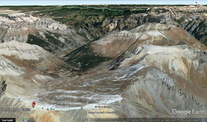
Google Earth, looking north toward Ouray. |
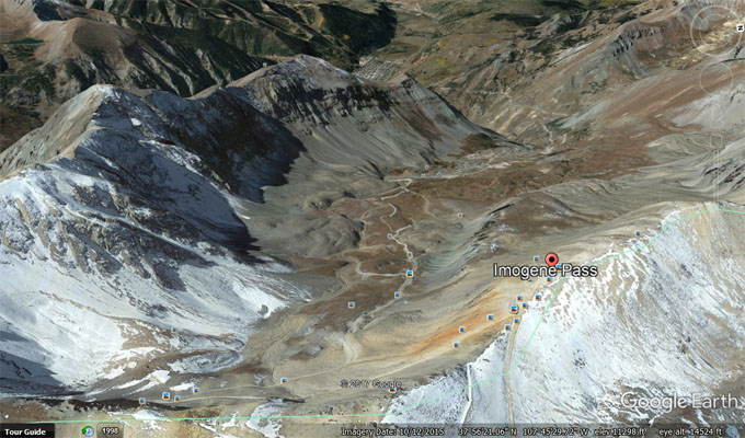
Google Earth, looking west toward Telluride. |
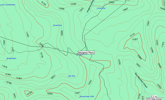
Garmin Mapsource |
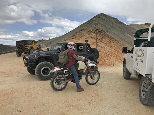
photos by Scott Westfall, 8/19/2017
Imogene Gulch at FR-26A fork, looking south. |
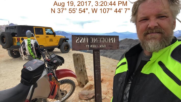
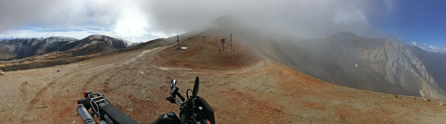
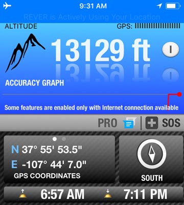
At the summit. |
At the summit. |
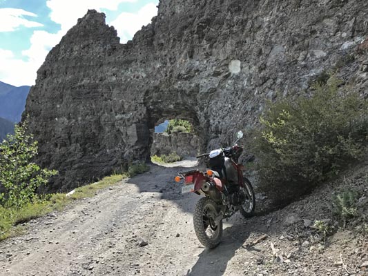
Along Tomboy Rd above Telluride. |
photo from Deward Knapp, 8/5/2006
photo from Wade, 7/24/2004
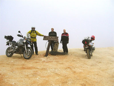
Deward Knapp at the summit. |
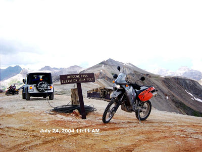
Wade's bike at the summit. |
| Feature Name | ID | Class | County | State | Latitude | Longitude | Ele(ft) | Map | BGN Date | Entry Date |
| Imogene Pass | 187214 | Gap | Ouray | CO | 375556N | 1074410W | 13117 | Ironton | - | 13-OCT-1978 |