
Independence Pass
|
Independence Pass |
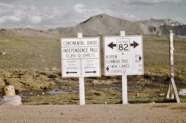
Independence Pass - Lake/Pitkin Counties - Colorado - 12,095 feet - On the Continental Divide
(other names - Hunter's, Ute)
Roaring Fork River to west. North Fork Lake Creek to east.
CO-82 west of Twin Lakes
pavement - road bike
#33 - photos by Randy Bishop, 09/08/2005
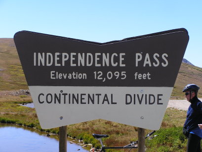
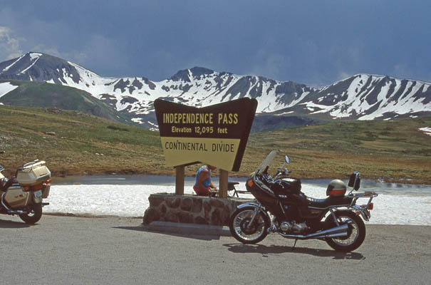
At the summit. |
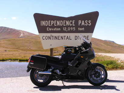
At the summit. 1997 Kawasaki ZG1000 Concours |
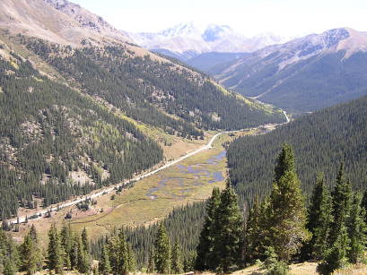
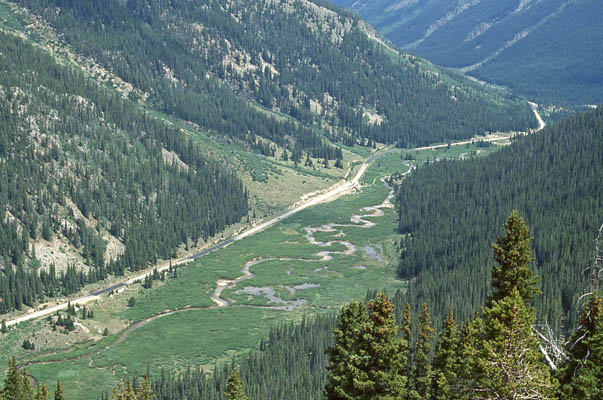
The view just east of the summit. |
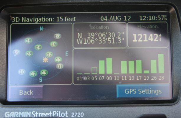
At the summit, 2012. |
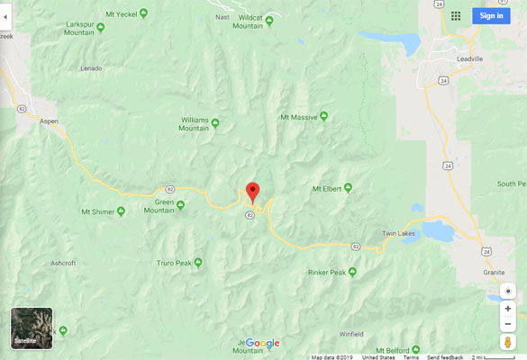
Google Maps |

Google Maps |
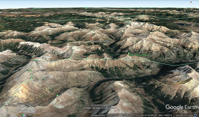
Google Earth |
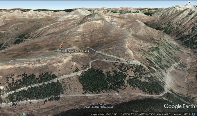
Google Earth |
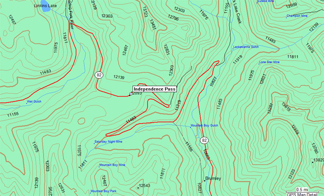
Garmin MapSource |
photos by Randy Bishop, 6/30/1990
Just east of the summit. |
At the summit. 1981 Honda CB750K |
photo by Randy Bishop, 7/3/1986
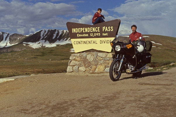
Randy and Phil at the summit. 1981 Honda CB750K |
photo from online, 1961
At the summit. |
| Feature Name | ID | Class | County | State | Latitude | Longitude | Ele(ft) | Map | BGN Date | Entry Date |
| Independence Pass | 180339 | Gap | Lake | CO | 390632N | 1063350W | 12103 | Independence Pass | - | 13-OCT-1978 |