
Indian Camp Pass
|
Indian Camp Pass |
Indian Camp Pass - Garfield County - Colorado - 9.724 feet
Buck Creek to west. Dry Sweetwater Creek to east.
On FR-600, one mile northwest of Triangle Mountain and 4 miles north of Deep Lake.
On south, gravel - dual sport. On north, rougher road.
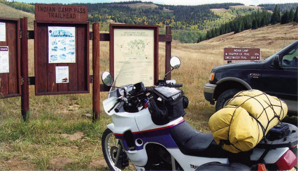
photos by Karst Postma, 7/31/2013
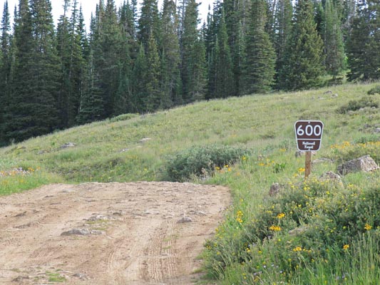
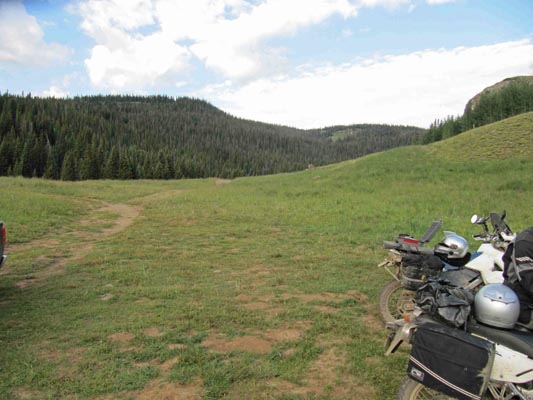
Along FR-600. |
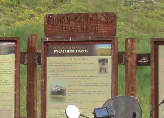
At the summit. |
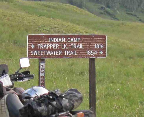
At the summit. |
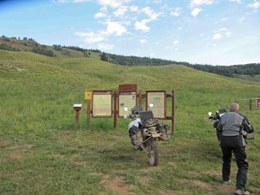
At the summit. |

At the summit. |
At the summit. |
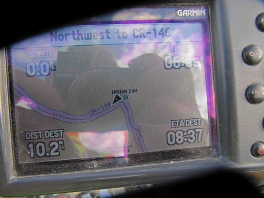
At the summit. |
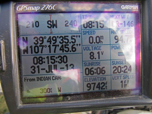
At the summit. |
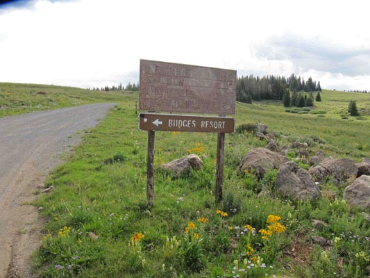
Along FR-618. Left to Indian Camp and Budges Resort, right to Short Creek and Ute Trail. |
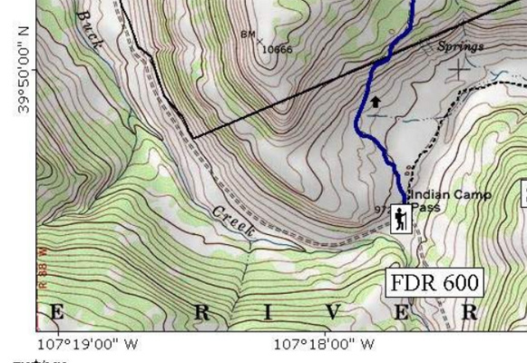
U.S. Forest Service |
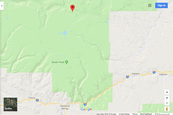
Google Maps |

Google Maps |
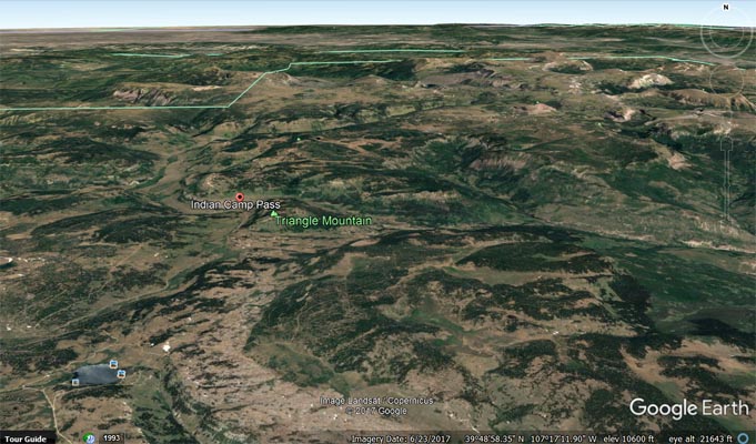
Google Earth |
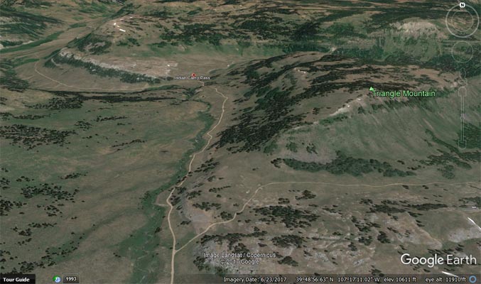
Google Earth |
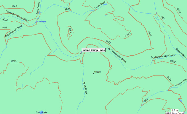
Garmin Mapsource |
photo by Roamin Carloski
At the summit. |
| Feature Name | ID | Class | County | State | Latitude | Longitude | Ele(ft) | Map | BGN Date | Entry Date |
| Indian Camp Pass | 173842 | Gap | Garfield | CO | 394936N | 1071744W | 9754 | Deep Lake | - | 13-OCT-1978 |