
Indian Pass
|
Indian Pass |
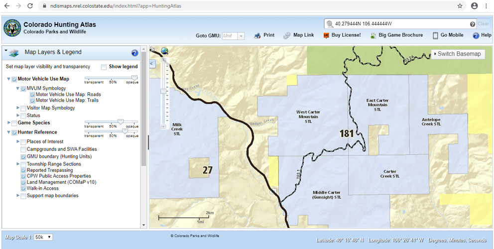
Indian Pass - Grand County - Colorado - 8,290 feet
Badger Creek to north. Muddy Creek to south.
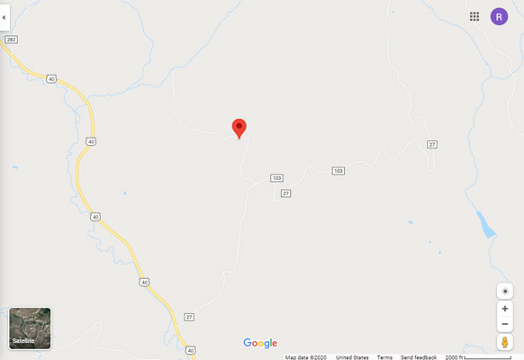
15.5 miles north of Kremmling on US-40, 1.5 miles east on CR-27, 0.6 miles north to the pass.
No access Mar-Aug (fines for trespassing)
Access for wildlife related recreation, but no vehicle access, Sep-Feb
Public Trust land (private property) managed by the Colorado State Land Board and leased to
Colorado Parks and Wildlife for Game Management Unit 181 which is open Sept 1 through Feb 28.
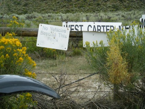
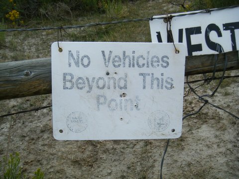
State Land Board / Parks and Wildlife signs shown below: No Vehicles behind this sign. State
Trust Land Rules. Public use for wildlife related recreation is allowed Sept 1 thru Feb 28.
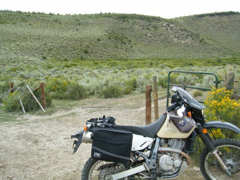
photos by John Meyer, 7/15/2017
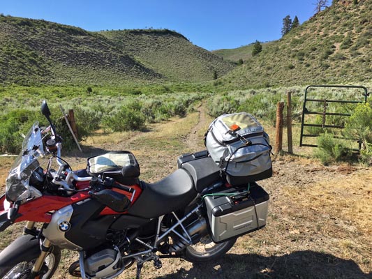
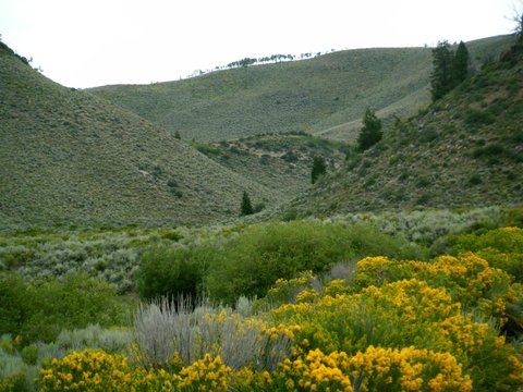
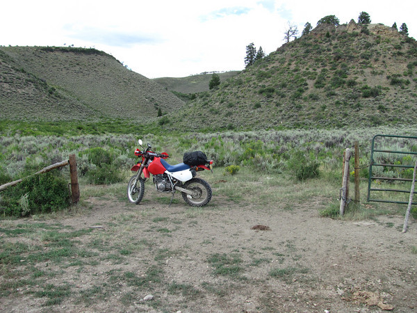
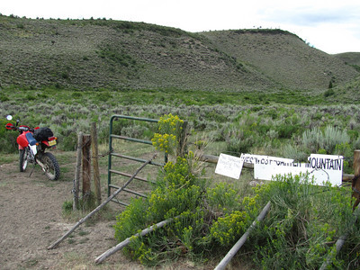
0.6 miles south of the summit. |

0.6 miles south of the summit. |
0.6 miles south of the summit. |
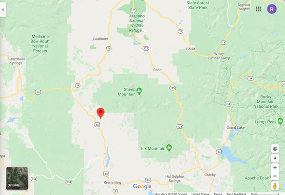
Google Maps |
Google Maps |
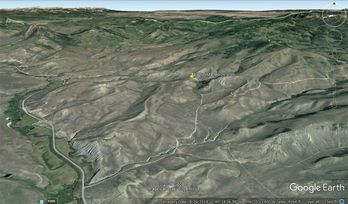
Google Earth |
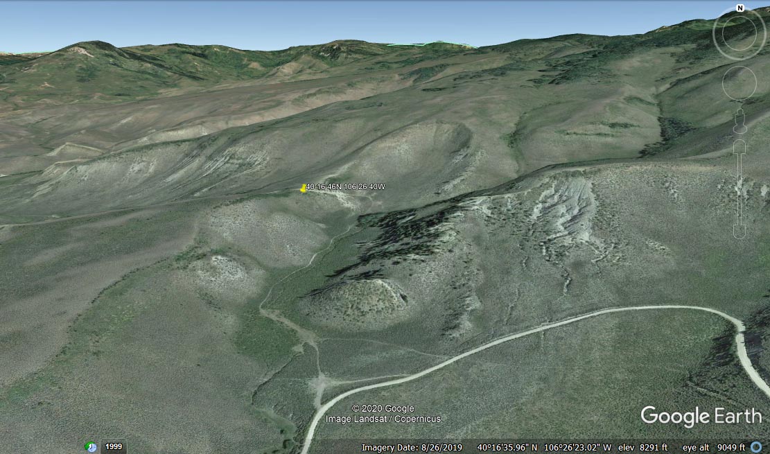
Google Earth |
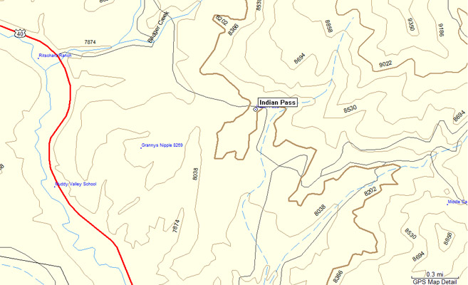
Garmin MapSource |
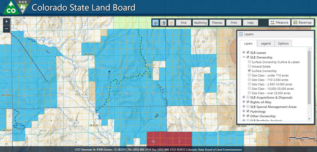
Colorado State Land Board |
Colorado Parks and Wildlife |
photos by Shu Shushan, 8/2013
0.6 miles south of the summit. |
0.6 miles south of the summit. |
0.6 miles south of the summit. |

0.6 miles south of the summit. |
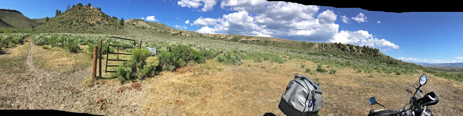
Looking toward the summit. |
photos by Curtis Kohl, 7/2010
0.6 miles south of the summit. |
0.6 miles south of the summit. |
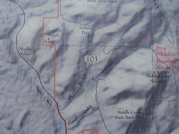
A map showing Indian Pass. |
From the Colorado State Land Board:
"The Colorado State Land Board has an illustrious history. We are
143-years-old, but our history dates to America's founding in the 1700s. In the 1780s America’s founders
were preparing for westward expansion at the conclusion of the Revolutionary War. Thomas Jefferson developed
a system -- today often referred to as the Jeffersonian Grid -- to orderly track and divide land into
36-square-mile townships/ranges/sections. Each state that joined the union after the war received a certain
number of 1-mile sections to be held in a trust and used for public beneficiaries, usually public schools.
Colorado received 2 sections per township totalling 4 million acres at statehood in 1876. These are Colorado's
trust lands. Today we still own 2.8 million acres of trust land and the Colorado State Land Board is the state
agency that manages the trust and uses the land to help fund Colorado public schools. We've earned $1.4 billion
for Colorado public schools in the past decade."
Check the Interactive Timeline
for more historical information.
| Feature Name | ID | Class | County | State | Latitude | Longitude | Ele(ft) | Map | BGN Date | Entry Date |
| Indian Pass | 179985 | Gap | Grand | CO | 401646N | 1062640W | 8281 | Whiteley Peak | - | 13-OCT-1978 |