
Jack's Cabin Pass
|
Jack's Cabin Pass |
Jack's Cabin Pass - Gunnison County - Colorado - 8,760 feet
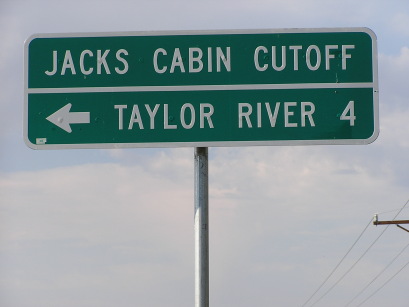
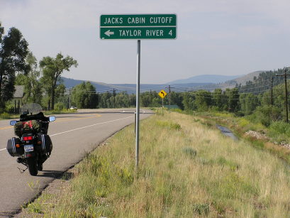
East River to west. Taylor River to east.
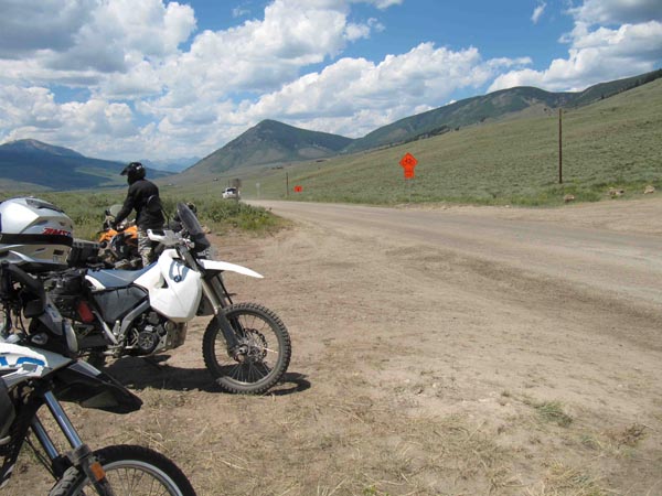
CR-813 southeast of Crested Butte
gravel - road bike
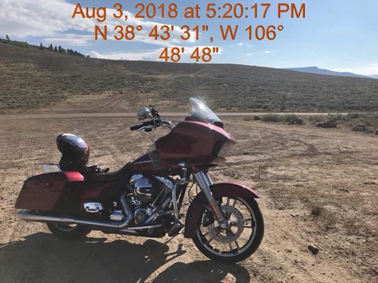
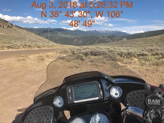
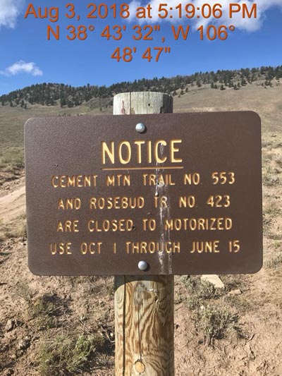
photos by Scott Westfall, 8/3/2018
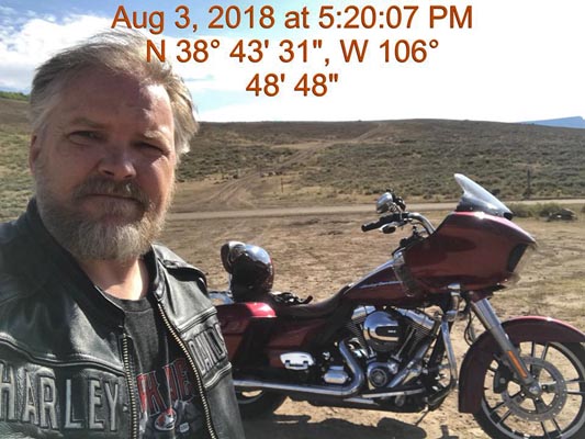
At the summit, looking northeast. |
At the summit, looking northeast. |
At the summit, looking southeast. |
At the summit, looking southwest. |
At the summit, looking southwest. |
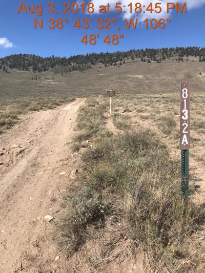
At the summit. |
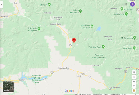
Google Maps |
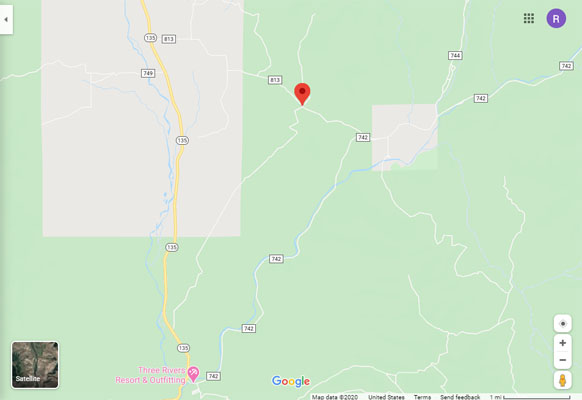
Google Maps |
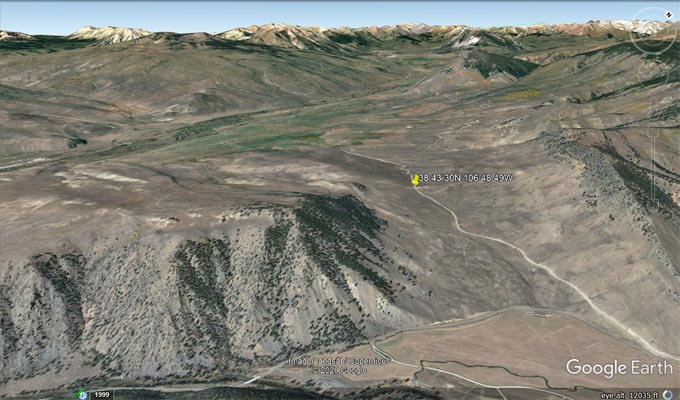
Google Earth, looking northwest |
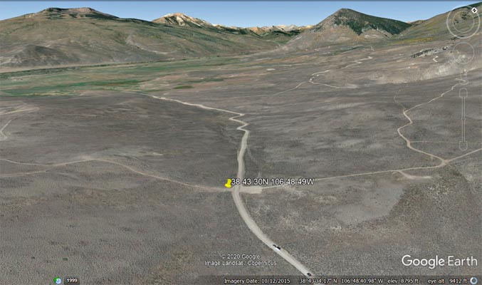
Google Earth, looking northwest. |
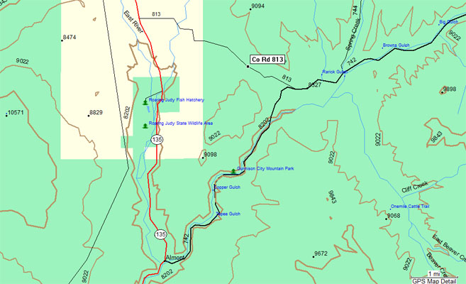
Garmin Mapsource |
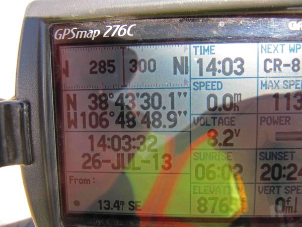
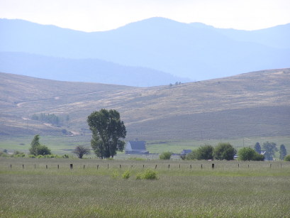
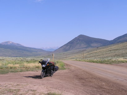
photos by Karst Postma, 7/26/2013
At the summit, looking north. |
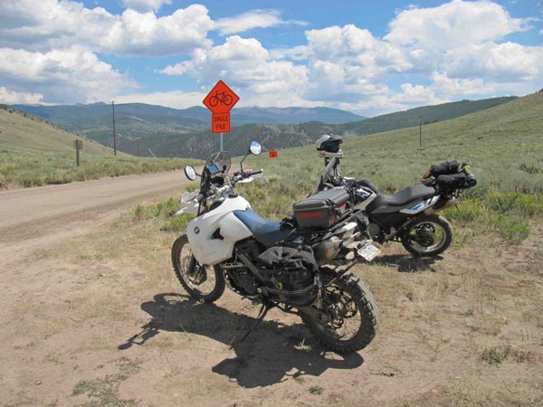
At the summit, looking south. |
At the summit. |
#60 - photos by Randy Bishop, 07/17/2006
South of Crested Butte on CO-135. |
South of Crested Butte on CO-135, looking south. |
South of Crested Butte on CO-135, looking southeast toward the pass. |
At the summit, looking north. |
| Feature Name | ID | Class | County | State | Latitude | Longitude | Ele(ft) | Map | BGN Date | Entry Date |
| Jacks Cabin | 189928 | Locale | Gunnison | CO | 384356N | 1065108W | 8248 | Almont | - | 13-OCT-1978 |
| Jacks Cabin Cemetery | 1795096 | Cemetery | Gunnison | CO | 384343N | 1065103W | 8248 | Almont | - | 18-MAY-1998 |