
Jack Springs Pass
|
Jack Springs Pass |
Jack Springs Pass - Moffat County - Colorado - 7,232 feet
other names: Skull Creek Pass, Iron Mine Gap, The Gap
Wolf Creek to north. Miller Creek to south.
Northwest of Massadona on CR-95 (Skull Creek Rd) about 8.5 miles north of US-40.
dirt - dual sport or dirt bike
photos by Karst Postma, 6/7/2011
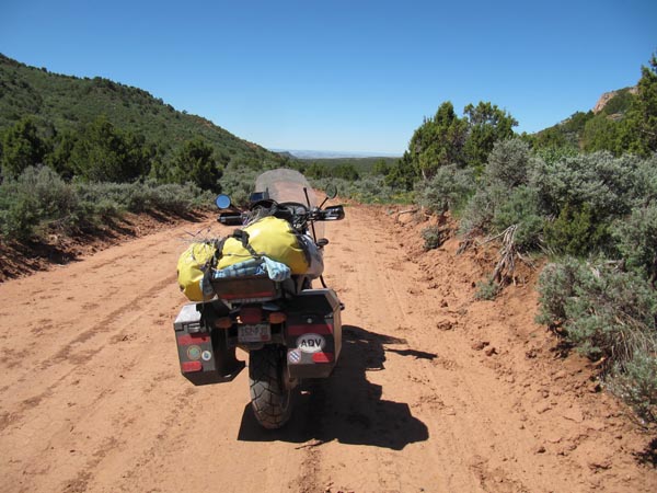
At the summit. |
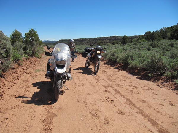
At the summit. |
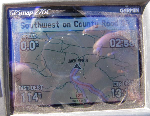
At the summit. |
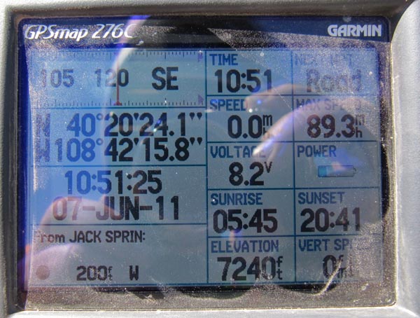
At the summit. |
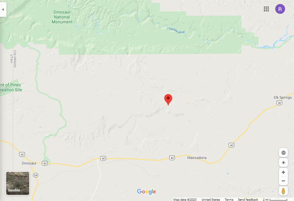
Google Maps |
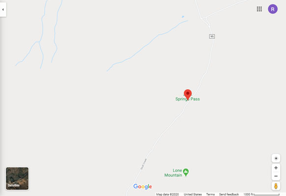
Google Maps |
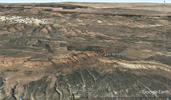
Google Earth |
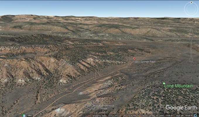
Google Earth |
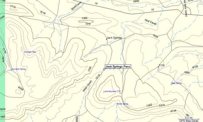
Garmin Mapsource |
| Feature Name | ID | Class | County | State | Latitude | Longitude | Ele(ft) | Map | BGN Date | Entry Date |
| Jack Springs Pass | 170919 | Gap | Moffat | CO | 402025N | 1084215W | 7237 | Skull Creek | - | 13-OCT-1978 |