
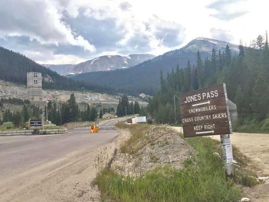
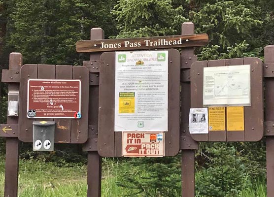
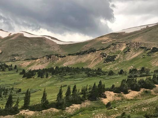
Jones Pass
|
Jones Pass |
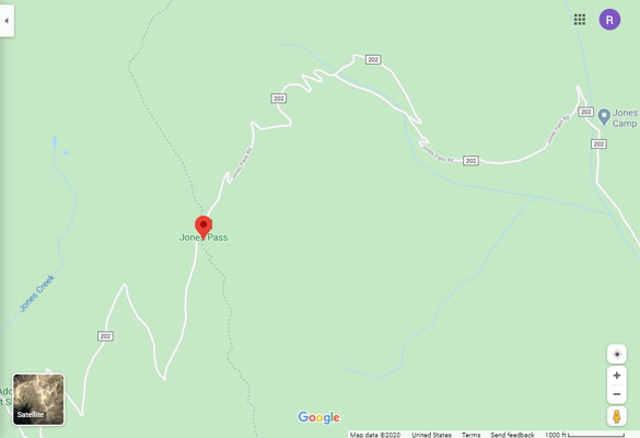
Jones Pass - Clear Creek / Grand Counties - Colorado - 12,451 feet on the Continental Divide
Jones Creek to west. West Fork of Clear Creek to east.
On east side, off US-40, past the Henderson Mine. No access from west.
off-road - dual sport
photos by John Meyer, 10/3/2016
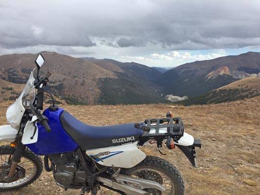
At the summit. |
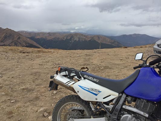
At the summit. |
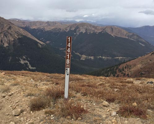
At the summit. |
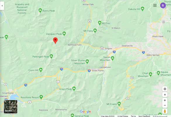
Google Maps |
Google Maps |
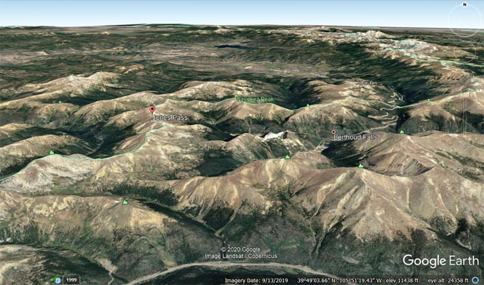
Google Earth |
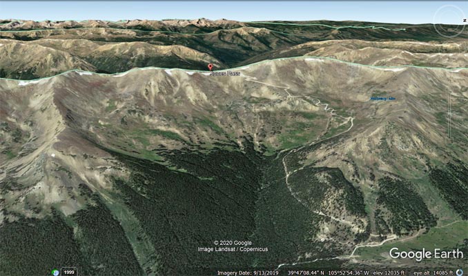
Google Earth, looking west. |
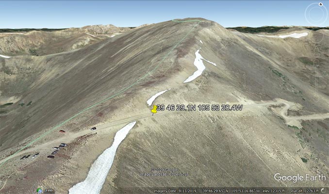
Google Earth, snowbank about 275 feet from the summit. |
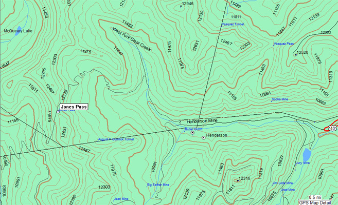
Garmin Mapsource |
photos by Scott Westfall, 8/21/2019
Near Berthoud Falls. |
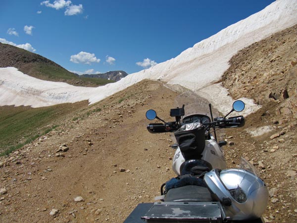
Along the way. |
Along the way. |
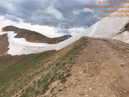
About 275 feet from the summit. |
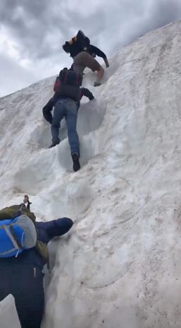
Too steep for motorcycles. |
About 275 feet from the summit. |
photos by Karst Postma, 7/20/2013, and by Roamin Carloski
About 275 feet from the summit. |

At the summit. |
From Karst: The road is fine, a few tight hairpins, but nothing bad.
I did fine on the R1150GS and had to clutch slip only a few places.
| Feature Name | ID | Class | County | State | Latitude | Longitude | Ele(ft) | Map | BGN Date | Entry Date |
| Jones Pass | 181313 | Gap | Grand | CO | 394625N | 1055321W | 12454 | Byers Peak | - | 13-OCT-1978 |