
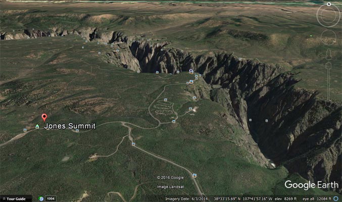
Jones Summit
|
Jones Summit |
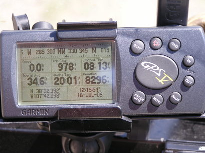
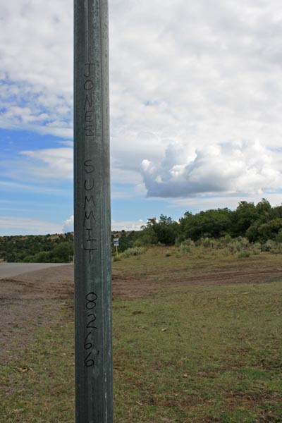
Jones Summit - Montrose County - Colorado - 8,266 feet
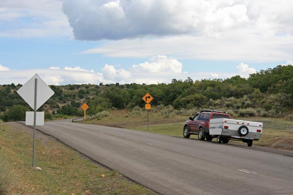
Gunnison River to north. Pinon Springs Draw to south.
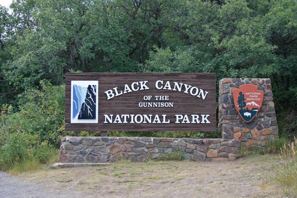
CO-347 at entrance to Black Canyon National Park
pavement - road bike
#54 - photos by Randy Bishop, 07/16/2006

At the summit, looking north. |
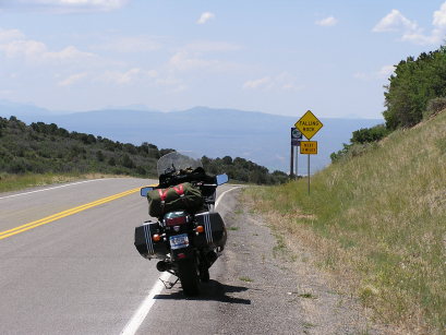
At the summit, looking south. |
At the summit. |
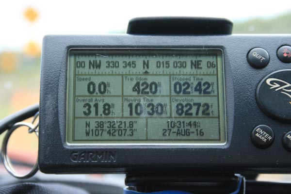
photos by Randy Bishop, 08/27/2016
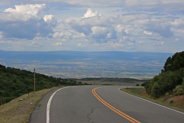
At the summit, looking south. |
At the summit, looking south. |
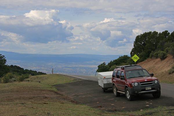
At the summit, looking north. |
At the summit, looking north. |

At the summit, looking north. |
At the summit. |
Nearby, north of the summit. |
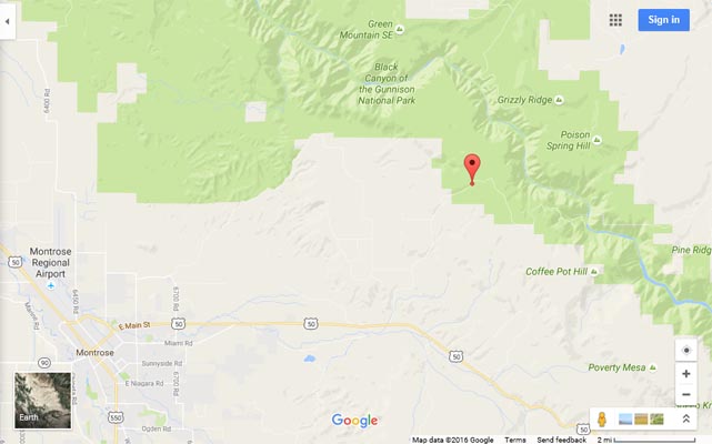
Google Maps |
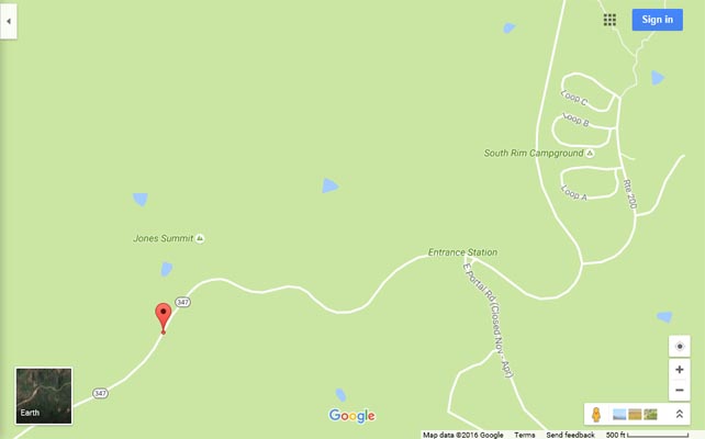
Google Maps |
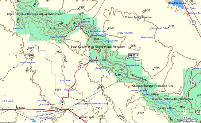
Garmin Mapsource |
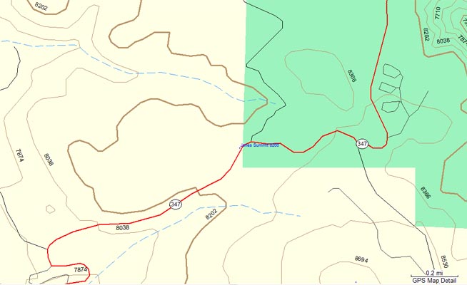
Garmin Mapsource |
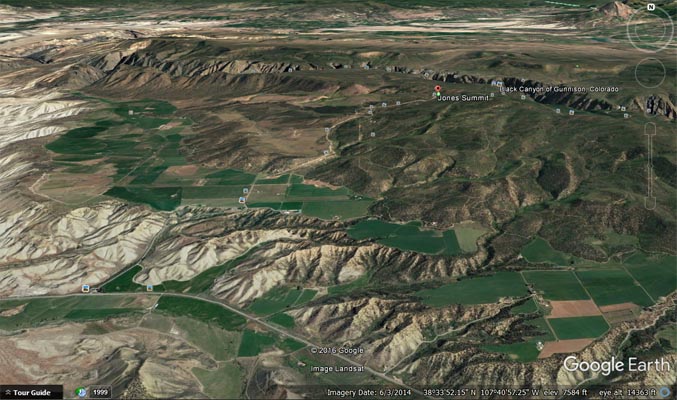
Google Earth |
Google Earth |
| Feature Name | ID | Class | County | State | Latitude | Longitude | Ele(ft) | Map | BGN Date | Entry Date |
| Jones Summit | 186846 | Summit | Montrose | CO | 383225N | 1074205W | 8274 | Grizzly Ridge | - | 13-OCT-1978 |