
Juniper Pass
|
Juniper Pass |
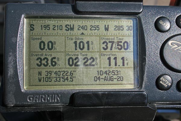
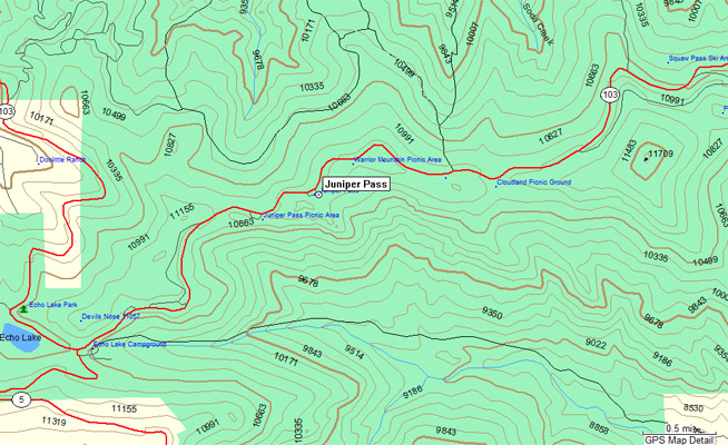
Juniper Pass - Clear Creek County - Colorado - 11,030 feet
Devils Canyon to north, Ethel Creek and Beaver Dam Creek to south.
CO-103 between Idaho Springs and Bergen Park.
The GNIS location (the location of the summit between the two watersheds)
is at the Eagles Aeire picnic ground, which is now gone.
pavement - road bike
photos by Randy Bishop, 8/4/2020
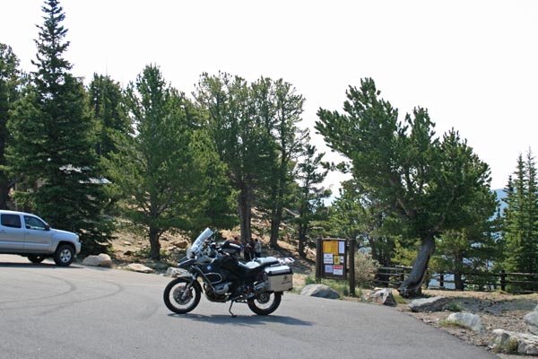
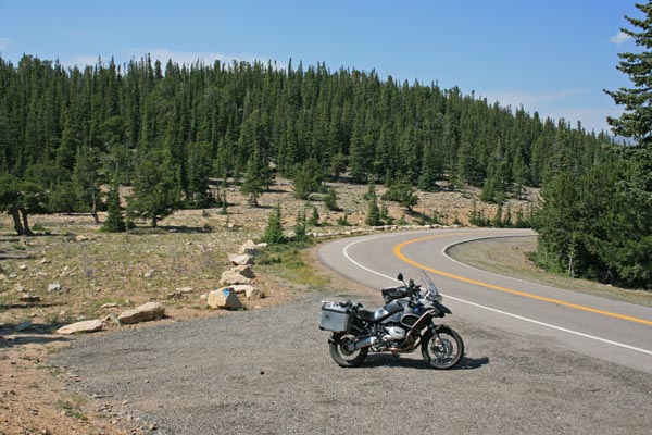
0.5 miles west of the summit, at the picnic ground. |
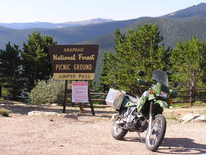
At the picnic ground, looking west. |
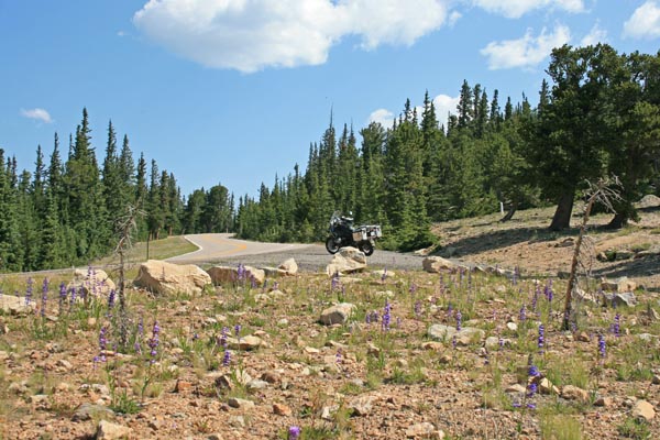
At the picnic ground, looking east. |
At the picnic ground, which is now missing the sign. |
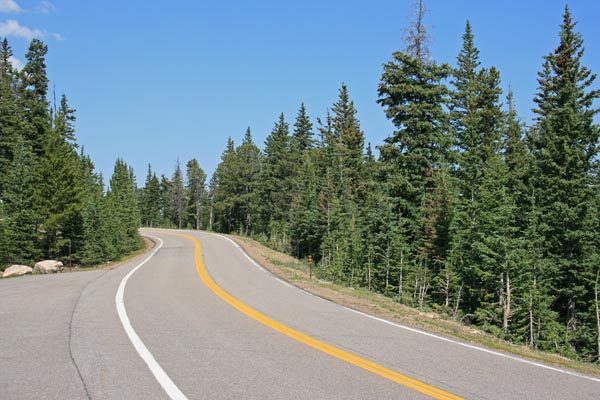
The GNIS location of the summit, looking west. |
The GNIS location of the summit, looking east. |
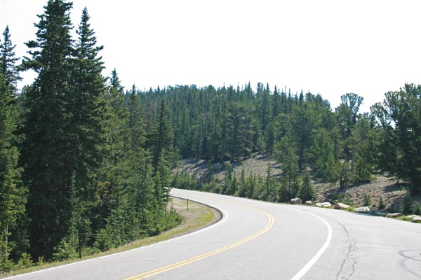
At the summit. |
At the summit. |
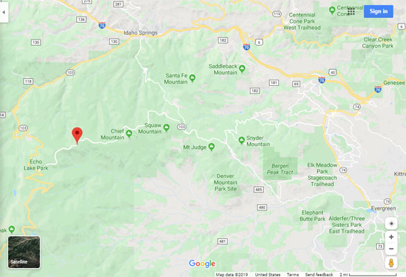
Google Maps |
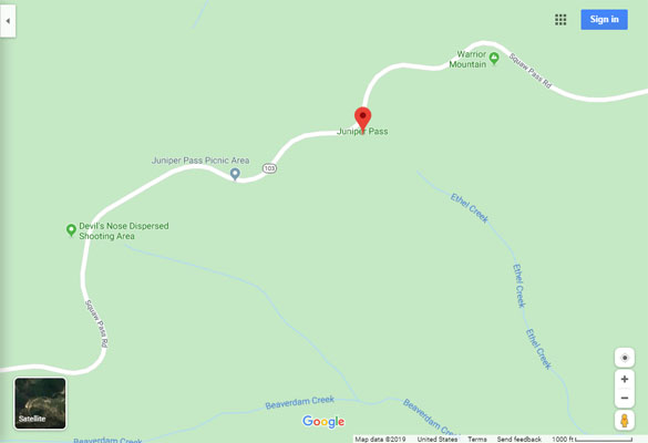
Google Maps |
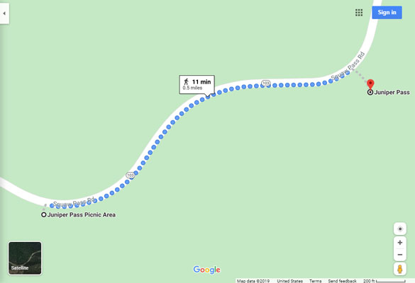
Google Maps |
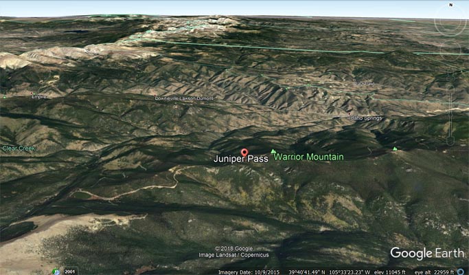
Google Earth |

Google Earth |
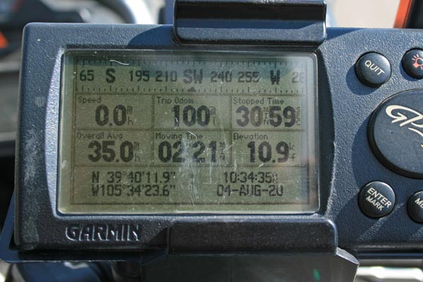
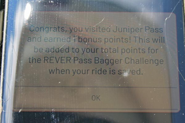
Garmin MapSource |
#22 - photos by Randy Bishop, 7/30/2005
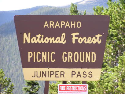
0.5 miles west of the summit, at the picnic ground. |
0.5 miles west of the summit, at the picnic ground. |

At the picnic ground, looking west. |
| Feature Name | ID | Class | County | State | Latitude | Longitude | Ele(ft) | Map | BGN Date | Entry Date |
| Juniper Pass | 181967 | Gap | Clear Creek | CO | 394020N | 1053354W | 11043 | Idaho Springs | - | 13-OCT-1978 |