
Kebler Pass
|
Kebler Pass |
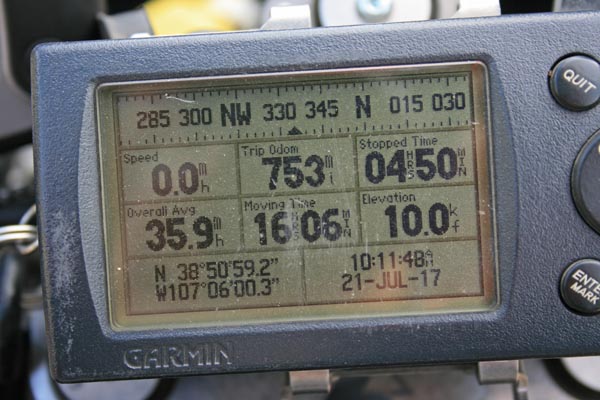
Kebler Pass - Gunnison County - Colorado - 10,007 feet
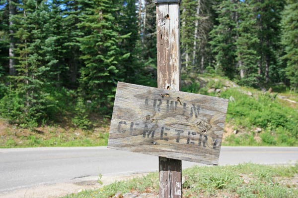
Ruby Anthracite Creek to west. Coal Creek to east.
CR-12 northwest of Crested Butte
gravel and some pavement - road bike or dual sport
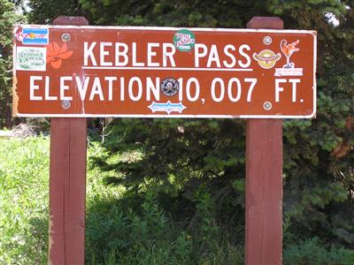
photos by Randy Bishop, 7/21/2017
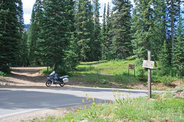
At the summit, looking south. |
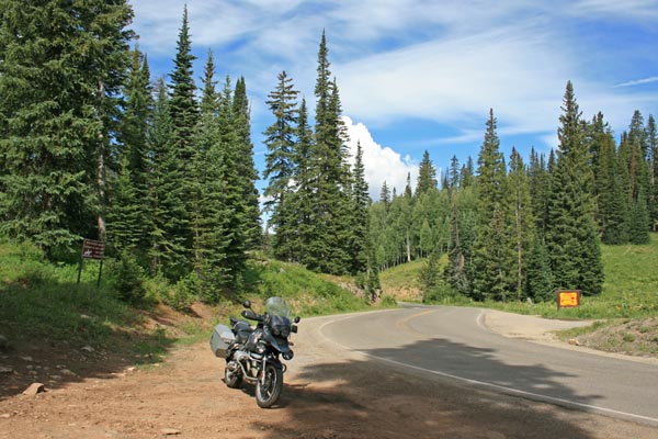
At the summit, looking west. |

At the summit, looking northeast. |
At the summit. |
At the summit. |
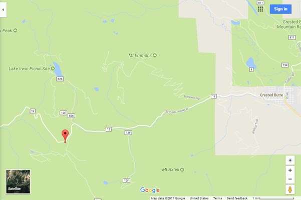
Google Maps |
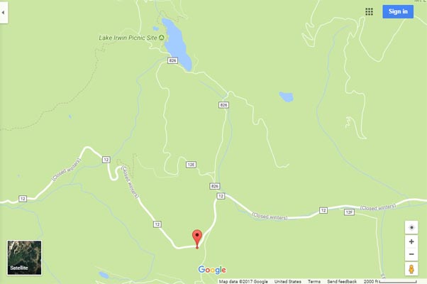
Google Maps |
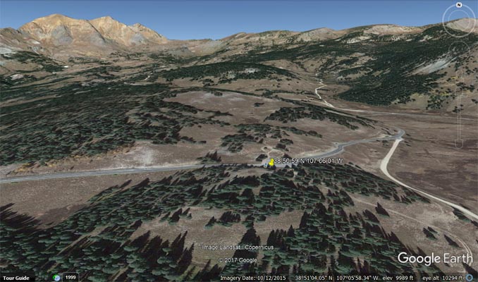
Google Earth |

Google Earth |
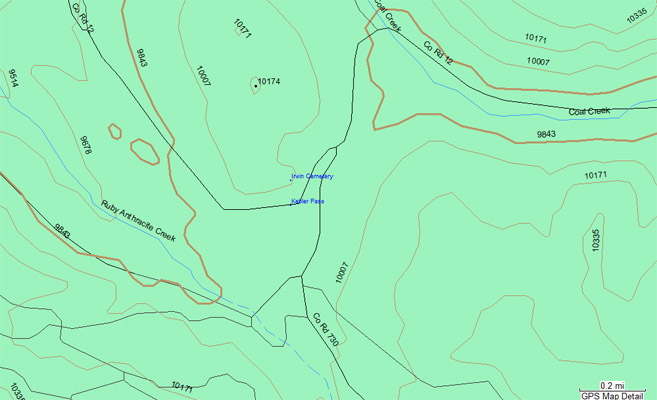
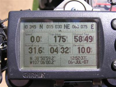
Garmin Mapsource |
#58 - photos by Randy Bishop, 7/17/2006
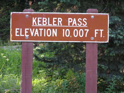
At the summit. |
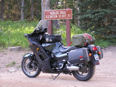
At the summit. |
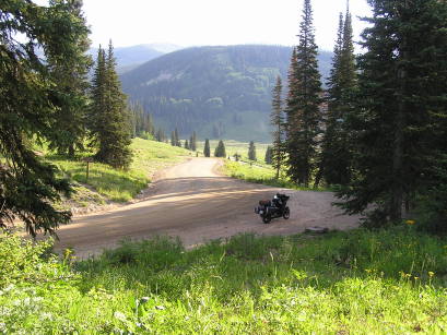
At the summit looking northeast. |
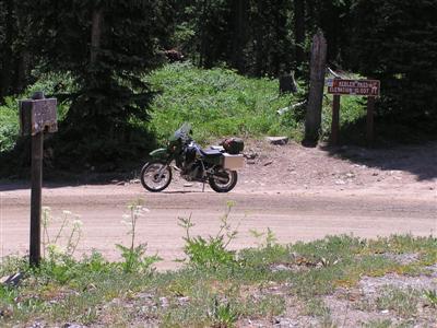
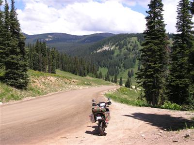
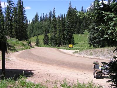
7/6/2007
At the summit. |
At the summit looking south. |
At the summit looking northeast. |
At the summit, looking west. |
At the summit. |
| Feature Name | ID | Class | County | State | Latitude | Longitude | Ele(ft) | Map | BGN Date | Entry Date |
| Kebler Pass | 186677 | Gap | Gunnison | CO | 385059N | 1070601W | 10003 | Mount Axtell | - | 13-OCT-1978 |