
La Poudre Pass
|
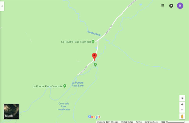
La Poudre Pass |
La Poudre Pass - Grand / Larimer Counties - Colorado - 10,184 feet - on the Continental Divide
other names - Long Draw, Mountain Meadows
Long Draw Creek to north. Colorado River to south.
Southeast of Cameron Pass on FR-156, near the La Poudre Ranger Station.
From the north - gravel - dual sport
From the south - hiking trail
photos by Scott Westfall, 10/01/2018
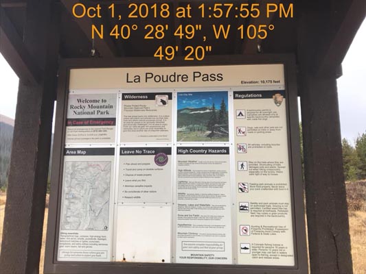
At the summit. |
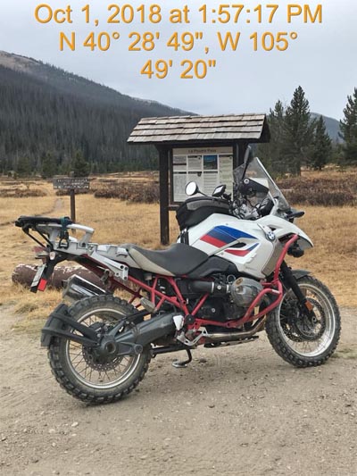
At the summit. |
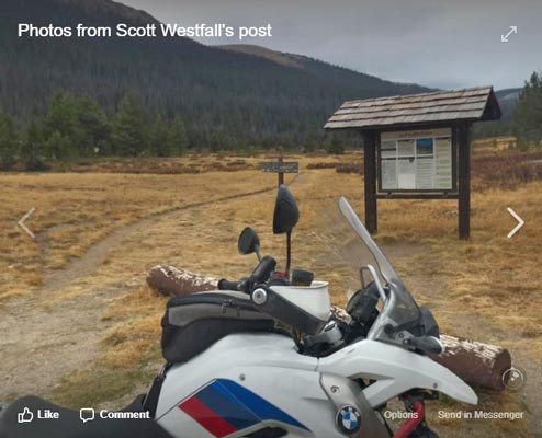
At the summit. |
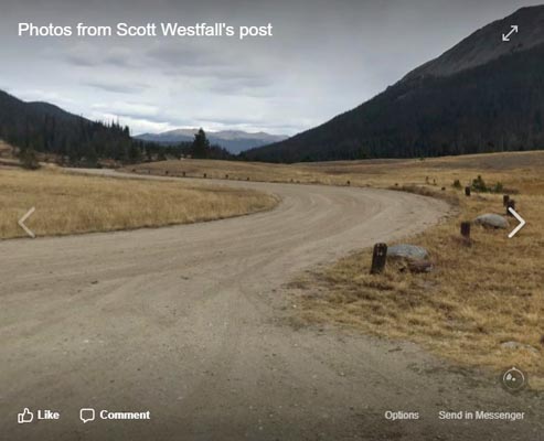
At the summit. |

Google Maps |

Google Maps |
Google Maps |
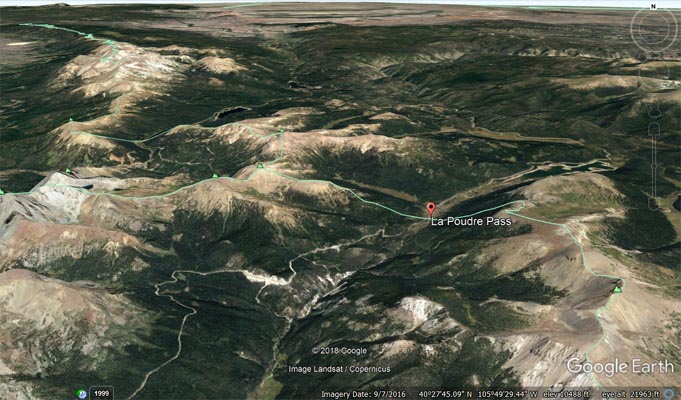
Google Earth |
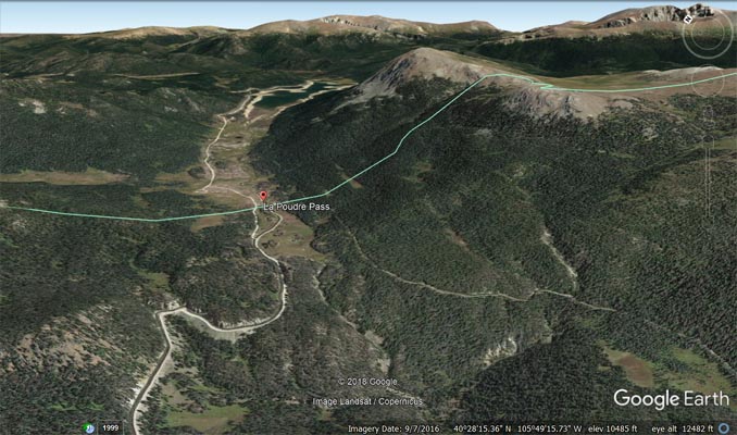
Google Earth |
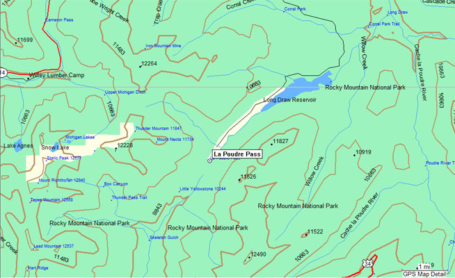
Garmin MapSource |
| Feature Name | ID | Class | County | State | Latitude | Longitude | Ele(ft) | Map | BGN Date | Entry Date |
| La Poudre Pass | 177510 | Gap | Grand | CO | 402836N | 1054924W | 10184 | Fall River Pass | 01-JAN-1932 | 13-OCT-1978 |