
La Manga Pass
|
La Manga Pass |
La Manga Pass - Conejos County - Colorado - 10,230 feet
CO-17 west of Antonito
La Manga Creek to north. North Fork of the Rio de los Pinos to south.
#43 - photos by Randy Bishop, 07/15/2006
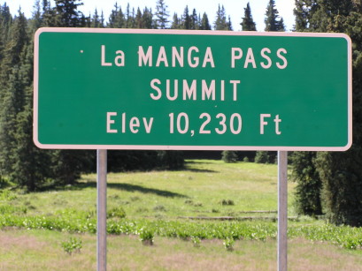
At the summit. |
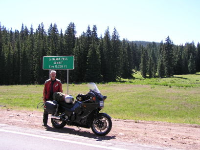
At the summit. |
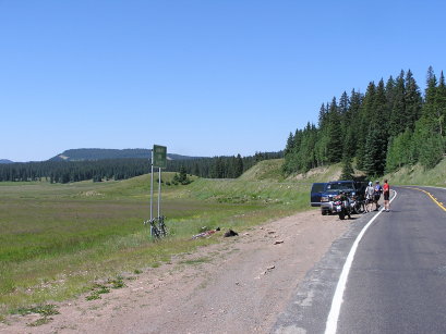
At the summit. |
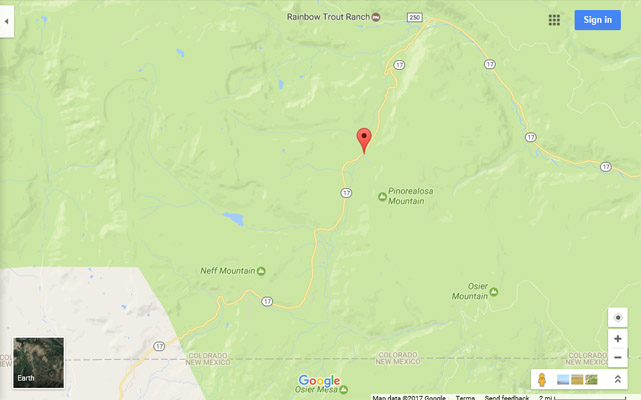
Google Maps |

Google Maps |
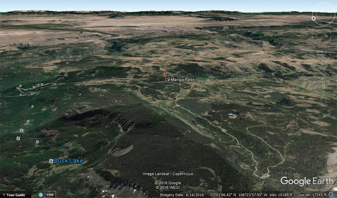
Google Earth, looking east |
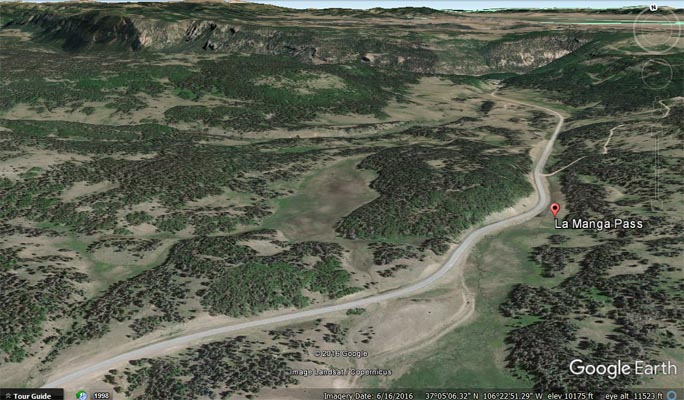
Google Earth |
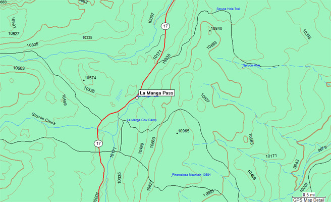
Garmin MapSource |
| Feature Name | ID | Class | County | State | Latitude | Longitude | Ele(ft) | Map | BGN Date | Entry Date |
| La Manga Pass | 190859 | Gap | Conejos | CO | 370439N | 1062310W | 10239 | Cumbres | - | 13-OCT-1978 |