
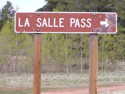
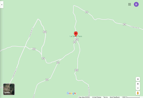
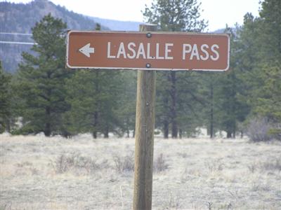
La Salle Pass
|
La Salle Pass |
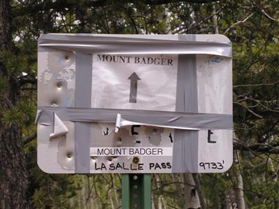
La Salle Pass - Park County - Colorado - 9,733 feet
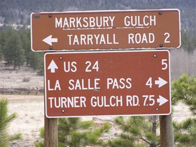
South Platte River to west. Marksbury Gulch to east.
west side: US-24, Turner Gulch Road, FR-44 northwest of Wilkerson Pass.
gravel - dual sport
east side: CR-77, CR-31, FR-44 southwest of Tarryall.
gravel and sand - dual sport
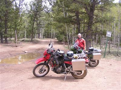
#85 - photos by Randy Bishop, 05/27/2007
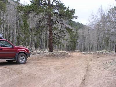
West of the summit. |
Dave, west of the summit. |
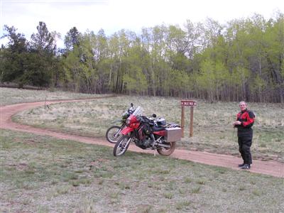
At the summit. |
At the summit. |
At the summit. |
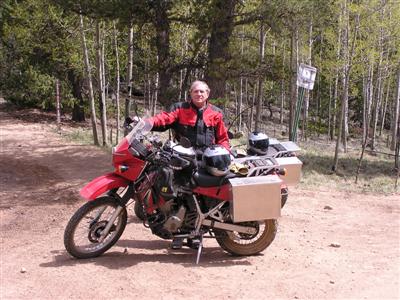
Dave at the summit. |

West of the summit, looking west. |
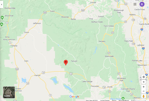
Google Maps |
Google Maps |
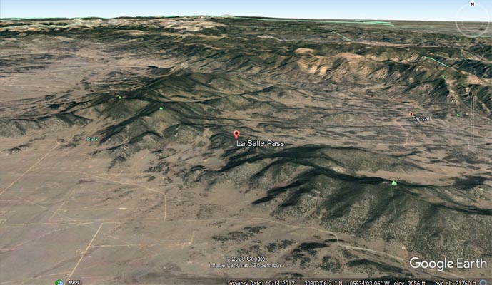
Google Earth |
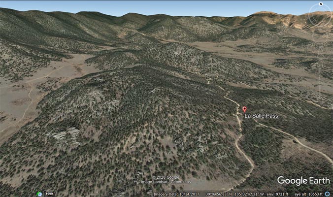
Google Earth |
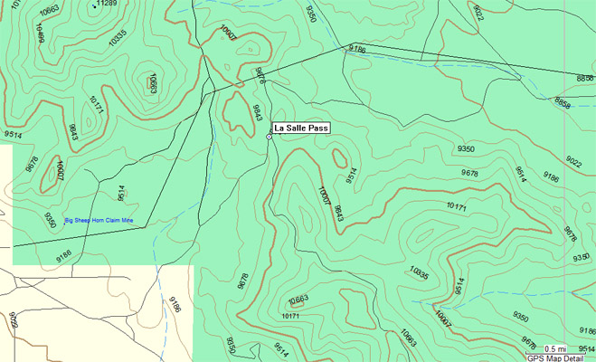
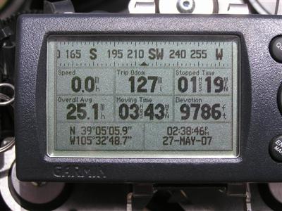
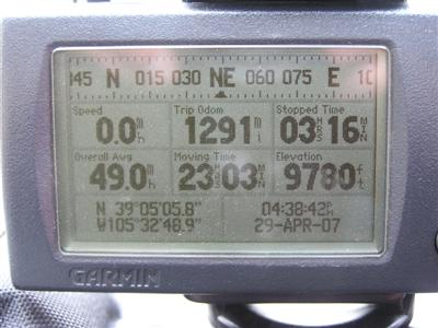
Garmin Mapsource |
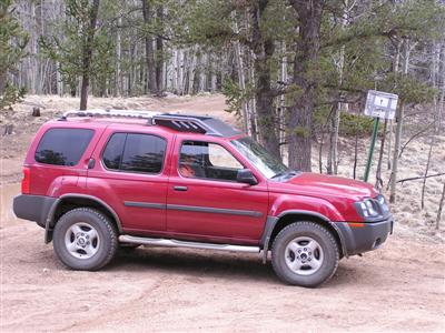
photos by Randy Bishop, 4/29/2007
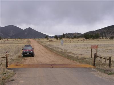
East of the summit. |
East of the summit. |
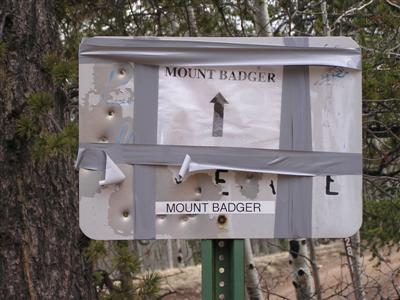
At the summit. |
At the summit. |
At the summit. |
West of the summit. |

West of the summit. |
West of the summit. |
| Feature Name | ID | Class | County | State | Latitude | Longitude | Ele(ft) | Map | BGN Date | Entry Date |
| La Salle Pass | 183812 | Gap | Park | CO | 390506N | 1053248W | 9737 | Glentivar | - | 13-OCT-1978 |