
North La Veta Pass
|
North La Veta Pass |
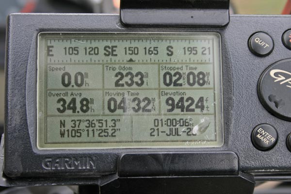
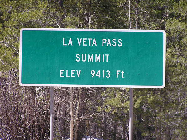
North La Veta Pass - Costilla/Huerfano Counties - Colorado - 9,413 feet
(other names - La Veta Pass, Muleshoe Saddle)
Sangre de Cristo Creek to west, South Abeyta Creek to east.
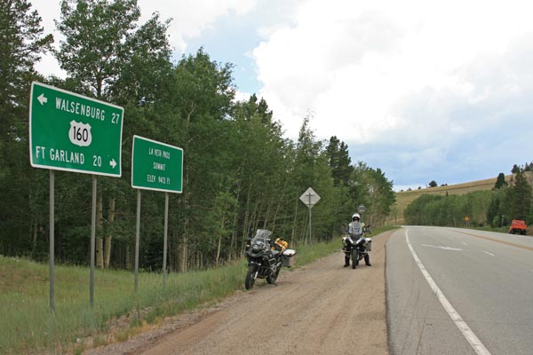
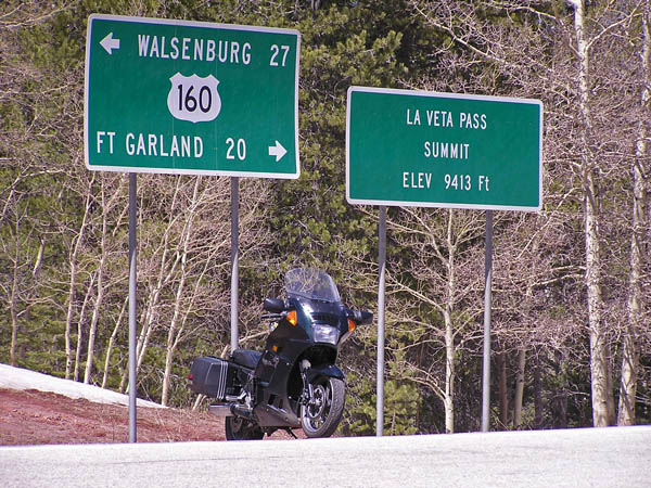
On US-160 between Alamosa and Walsenburg.
pavement - road bike
photos by Randy Bishop, 7/21/2020
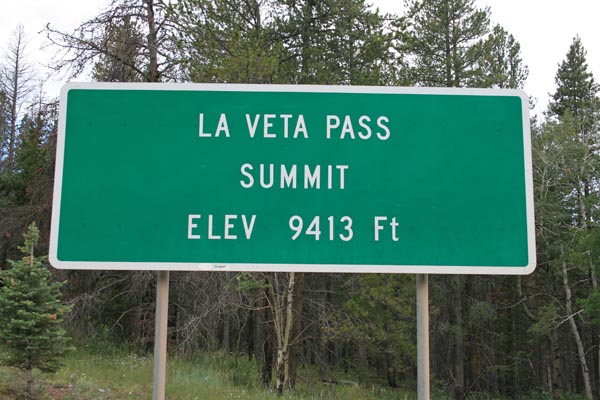
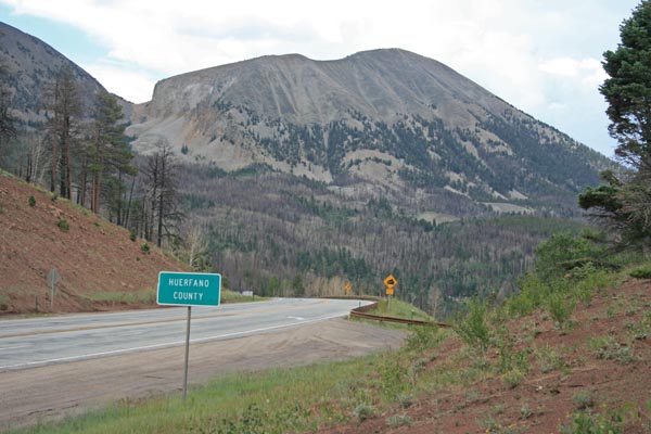
At the summit. |
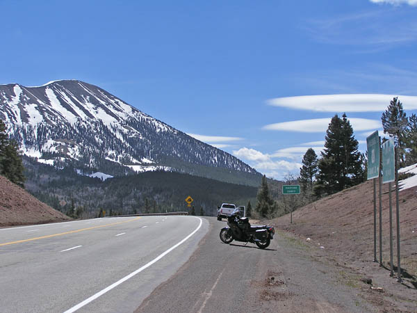
At the summit, looking northwest. |
At the summit, looking southeast. |
At the summit. |
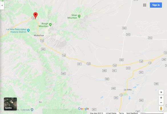
Google Maps |
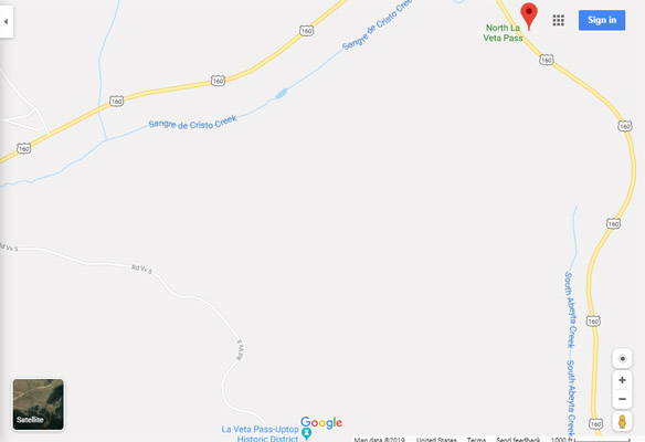
Google Maps |
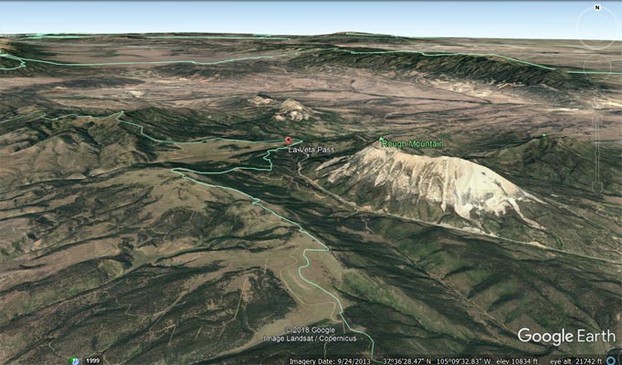
Google Earth |
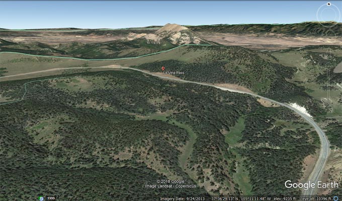
Google Earth |
Garmin MapSource |
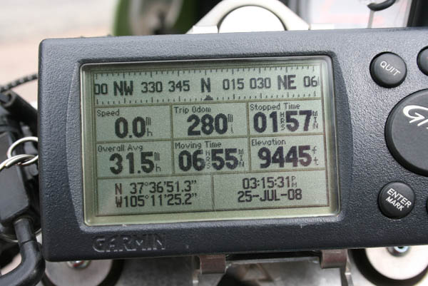
photos by Randy Bishop, 7/25/2008
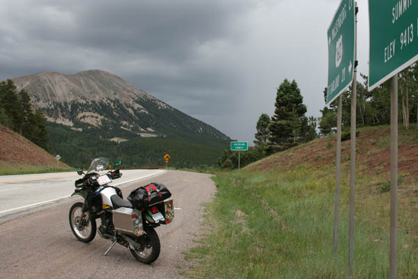
At the summit, looking southeast. |
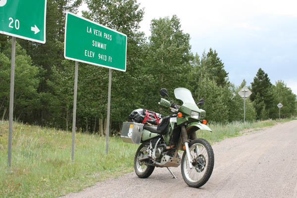
At the summit, looking northwest. |

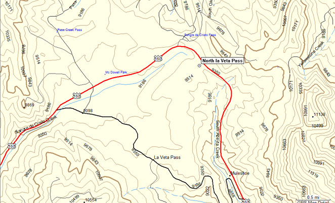
The map. |
At the summit. |
#10 - photos by Randy Bishop, 04/23/2005
At the summit. |
At the summit. |
At the summit, looking southeast. |
| Feature Name | ID | Class | County | State | Latitude | Longitude | Ele(ft) | Map | BGN Date | Entry Date |
| North La Veta Pass | 192776 | Gap | Costilla | CO | 373648N | 1051127W | 9426 | La Veta Pass | 01-JAN-1965 | 13-OCT-1978 |
| Feature Name | ID | Class | County | State | Latitude | Longitude | Ele(ft) | Map | BGN Date | Entry Date |
| La Veta Pass | 2791359 | Gap | Costilla | CO | 373535N | 1051210W | 9386 | La Veta Pass | - | 16-APR-2018 |