
Limestone Gap
|
Limestone Gap |
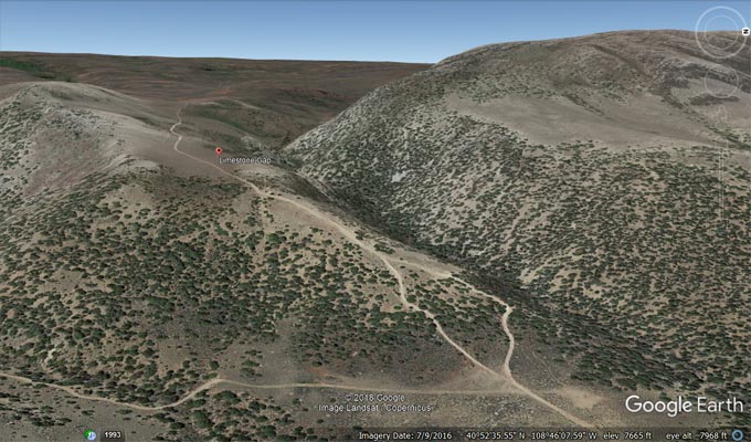
Limestone Gap - Moffat County - Colorado - 7,634 feet
An intermittent stream flows though the gap.
West of CR-10N about 54 miles northwest of Maybell.
gravel, dirt - dual sport or dirt bike
photos by John Meyer, 11/19/2018
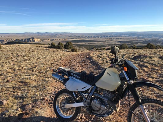
At the gap. |
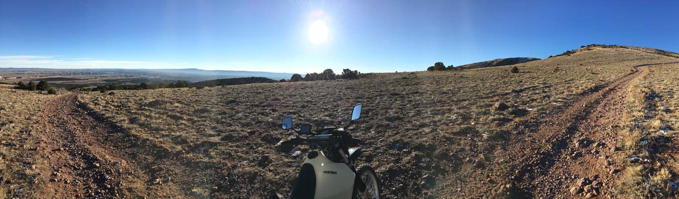
At the gap. |
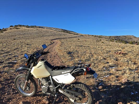
At the gap. |
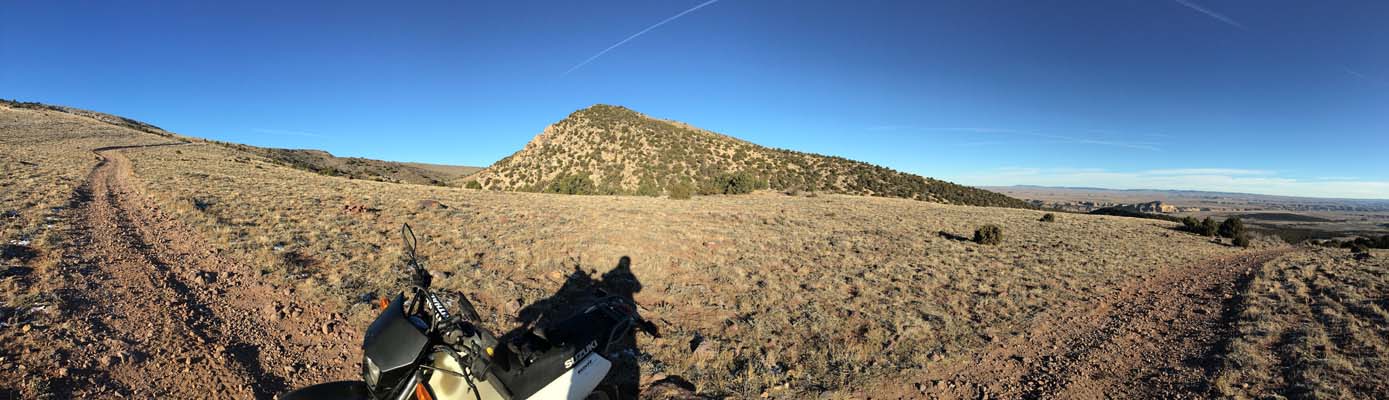
At the gap. |
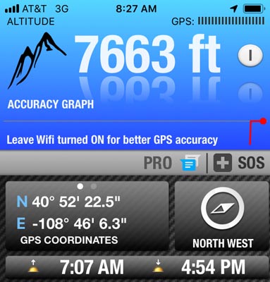
At the gap. |
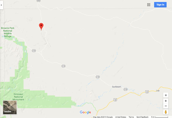
Google Maps |
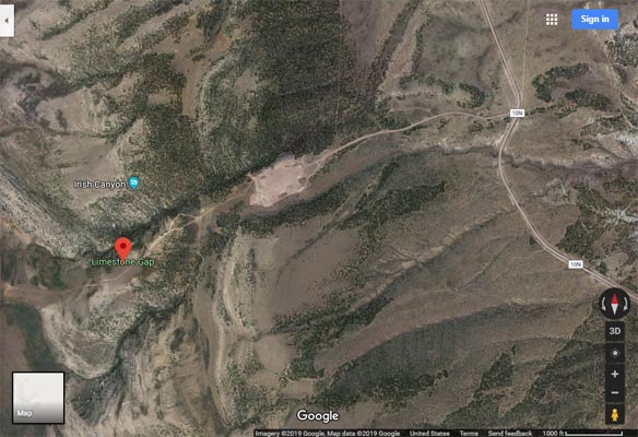
Google Maps |
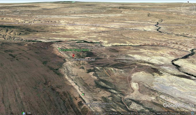
Google Earth, looking north. |
Google Earth, looking west. |
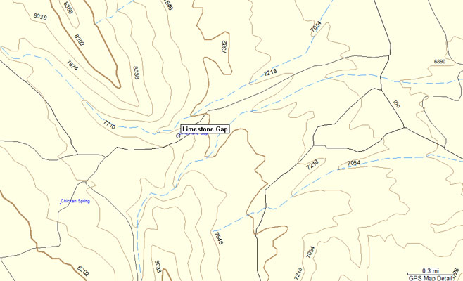
Garmin MapSource |
photos by Karst Postma, 5/20/2012
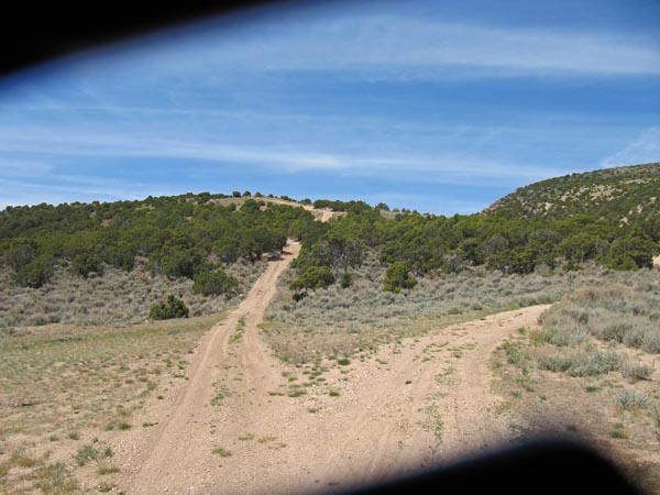
Looking west toward the gap. |

Looking west toward the gap. |
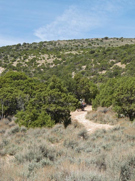
Looking west toward the gap. |
Notes from Karst: We attempted to get to Limestone Gap from the east side. We were cautioned it would
be steep and rocky and it was. A light bike and very good skills are required to make it. Attached pictures
show the road going up. I believe you can get to the pass from the west as well, but we did not have time
to do so. If you come if from the west you will either go back that way or go down this very steep slope.
Same caution, you better have some extremely good skills and your ABS turned of. Before heading for the
west route you can inspect the east access a short distance from CR-10N.
| Feature Name | ID | Class | County | State | Latitude | Longitude | Ele(ft) | Map | BGN Date | Entry Date |
| Limestone Gap | 169799 | Gap | Moffat | CO | 405223N | 1084607W | 7634 | Big Joe Basin | - | 13-OCT-1978 |