
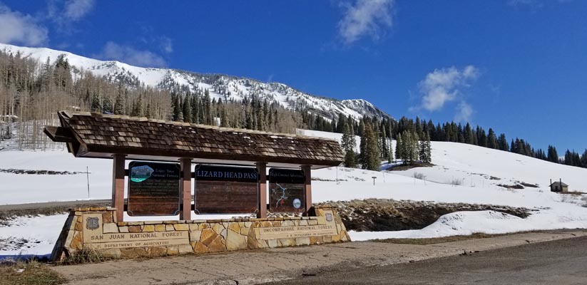
Lizard Head Pass
|
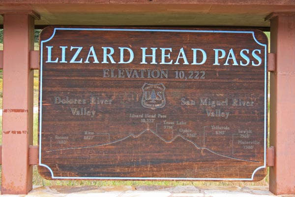
Lizard Head Pass |
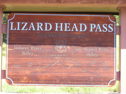
Lizard Head Pass - Dolores / San Miguel Counties - Colorado - 10,222 feet
South Fork of the San Miguel River to north. Dolores River to south.
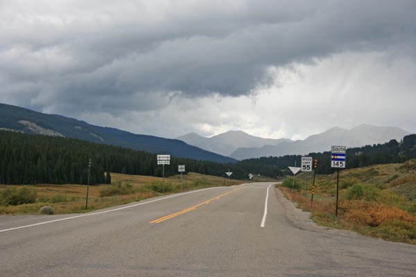
CO-145 south of Telluride
pavement - road bike
photos by Randy Bishop, 9/6/2018 and 5/11/2019
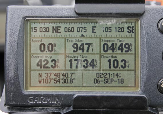
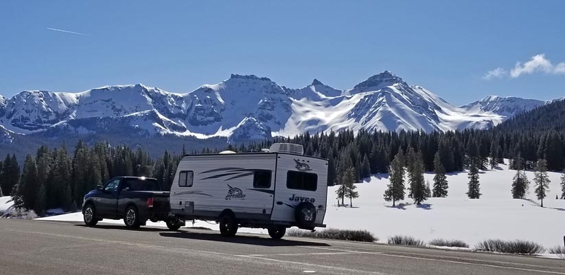
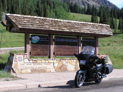
At the summit. |
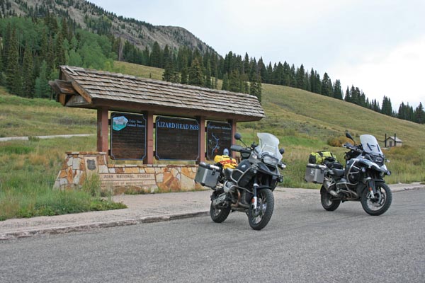
At the summit. |
At the summit, looking northeast. |
At the summit, looking southwest. |
At the summit. |
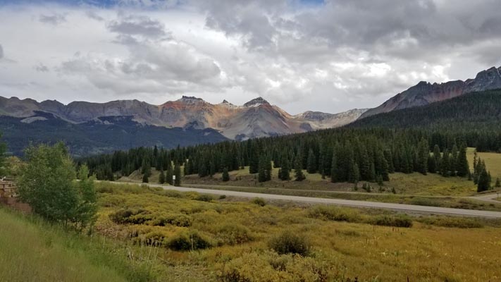
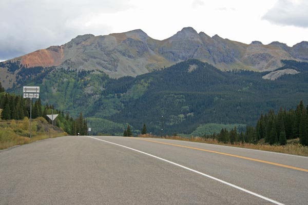
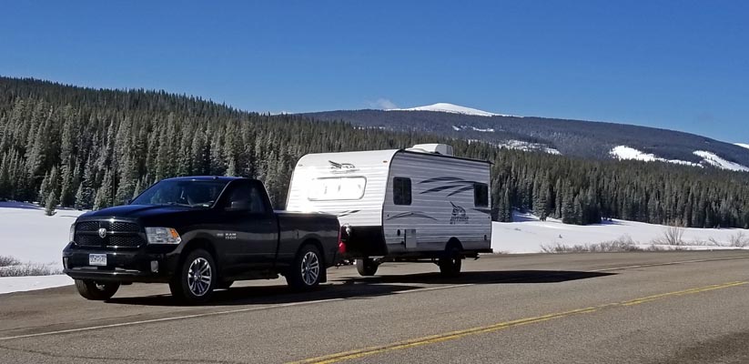
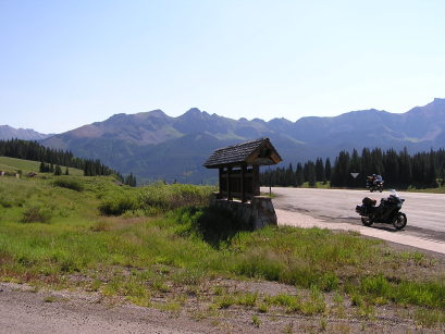
View from the overlook. |
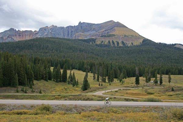
View from the overlook. |
At the summit. |
At the summit, looking northeast. |
At the summit, looking southwest. |
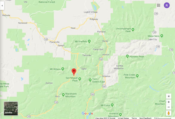
Google Maps |
Google Maps |
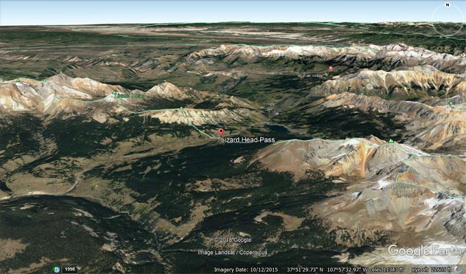
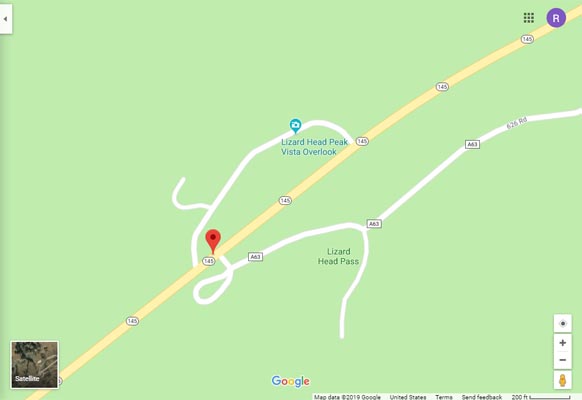
Google Earth |
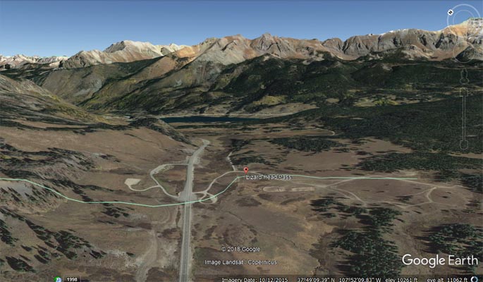
Google Earth |
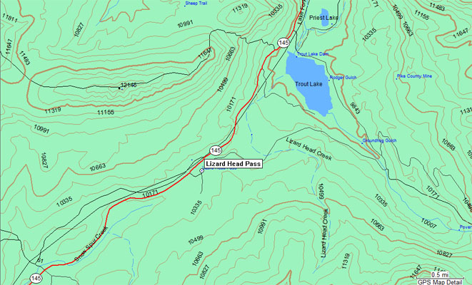
Garmin MapSource |
#53 - photos by Randy Bishop, 07/16/2006
At the summit. |
At the summit. |
At the summit. |
| Feature Name | ID | Class | County | State | Latitude | Longitude | Ele(ft) | Map | BGN Date | Entry Date |
| Lizard Head Pass | 187486 | Gap | San Miguel | CO | 374840N | 1075422W | 10246 | Mount Wilson | - | 13-OCT-1978 |
| Lizard Head | 187465 | Summit | San Miguel | CO | 3750090N | 1075702W | 12995 | Mount Wilson | - | 13-OCT-1978 |