
Lone Cone Pass
|
Lone Cone Pass |
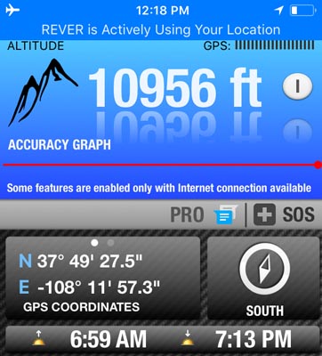
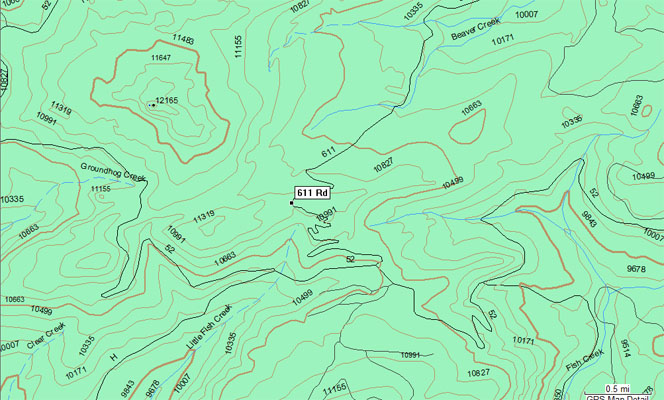
Lone Cone Pass - Dolores / San Miguel Counties - Colorado - 11,029 feet
Beaver Creek to north. Little Fish Creek to south.
On FR-611 / CR-47 northwest of Dunton.
gravel, rock - dirt bike or dual sport
photos by John Meyer, 9/20/2018
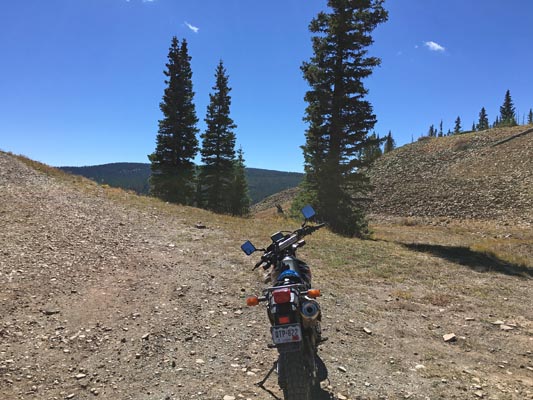
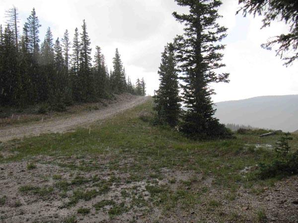
At the summit. |
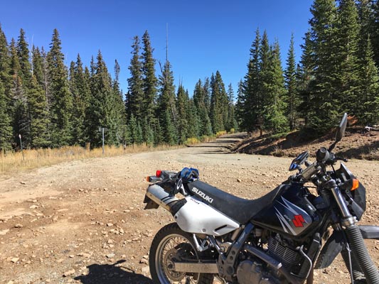
At the summit. |
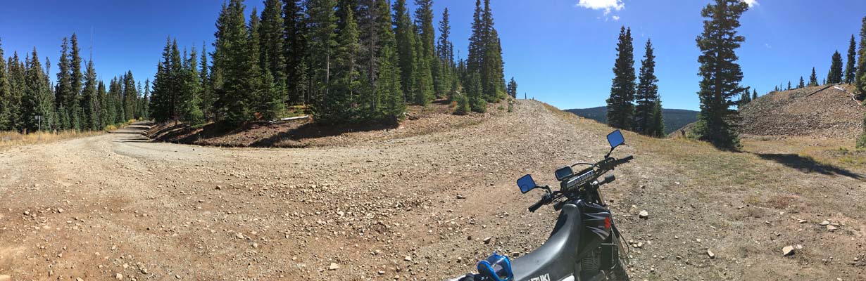
At the summit. |
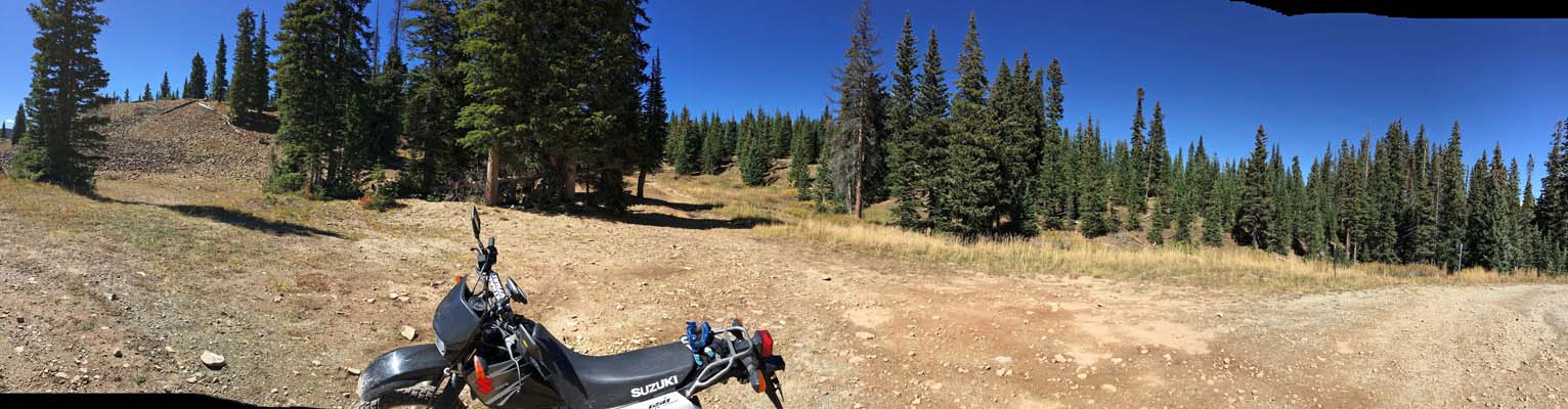
At the summit. |
At the summit. |
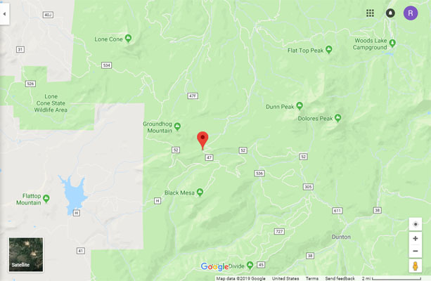
Google Maps |
Google Maps |
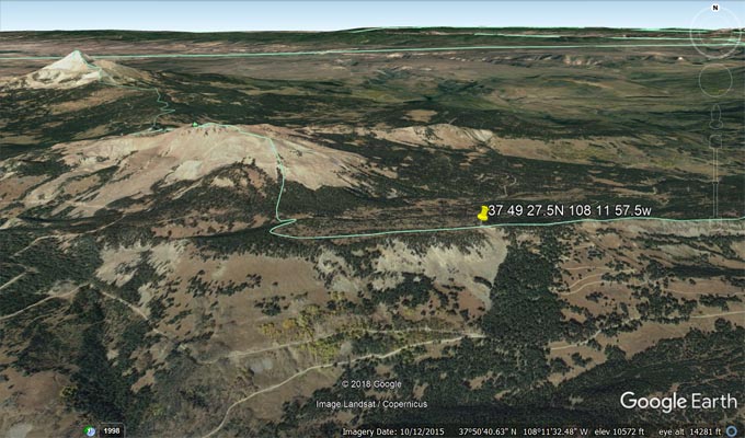
Google Earth |
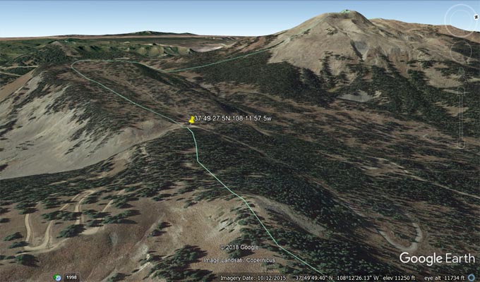
Google Earth, looking west. |
Garmin MapSource |
photos by Karst Postma, 8/23/2013
At the summit. |
At the summit. |
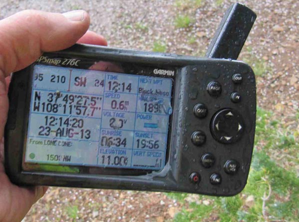
At the summit. |
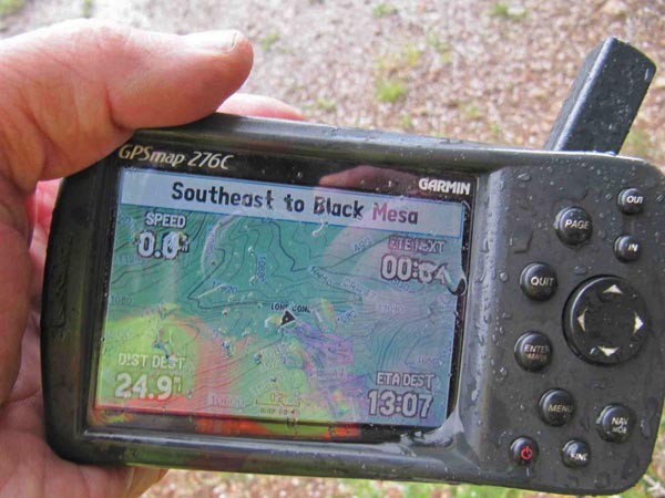
At the summit. |
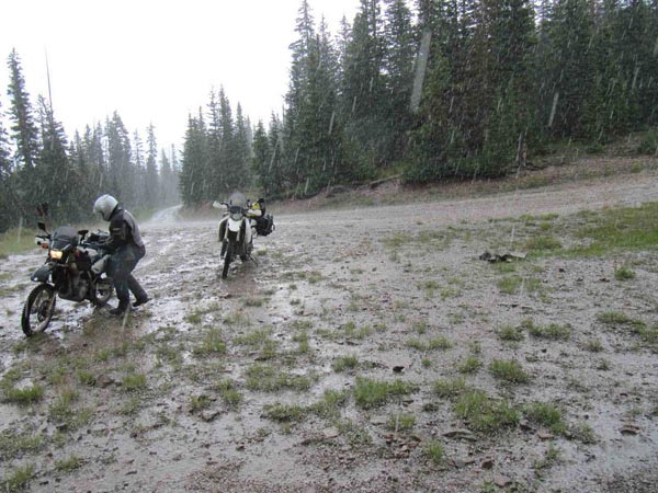
Notes from Karst: Approaching from the southeast, from CO-145 take CR-38 and CR-52 for 22 miles on a hard-packed
wide gravel road to CR-47, and take it for 2.4 miles. CR-47 is a bit rocky and muddy in places, but nothing that
cannot be done on any big dual sport bike with minimal skills, unless it is raining when there can be a few mud
holes. We got caught in hail storm at the top, so we left in a hurry. On CR-52 you pass the turn-off for East
Lone Cone Pass.
| Feature Name | ID | Class | County | State | Latitude | Longitude | Ele(ft) | Map | BGN Date | Entry Date |
| Lone Cone | 202381 | Summit | San Miguel | CO | 375317N | 1081521W | 12585 | Lone Cone | 01-JAN-1906 | 13-OCT-1978 |