
Long Saddle
|
Long Saddle |
Long Saddle - Huerfano County - Colorado - 6,371 feet
Butte Creek to north. Sandy Arroyo to south.
at intersection of CO-69 and Red Rocks Road north of Walsenburg
pavement - road bike
#78 - photos by Randy Bishop, 04/28/2007 (during an IBA Saddle Sore 1000)
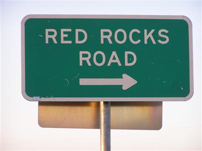
East of the summit by I-25. |
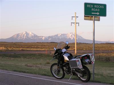
East of the summit by I-25. |

At the summit. |
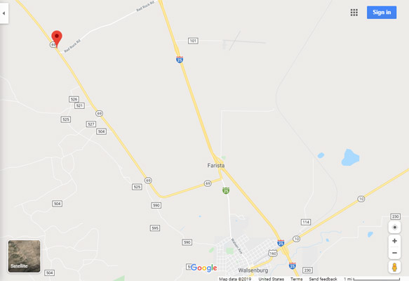
Google Maps |
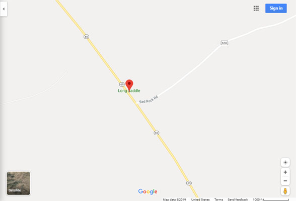
Google Maps |
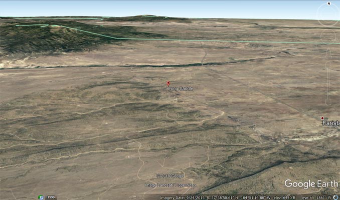
Google Earth |
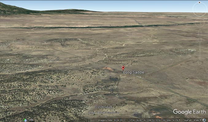
Google Earth |
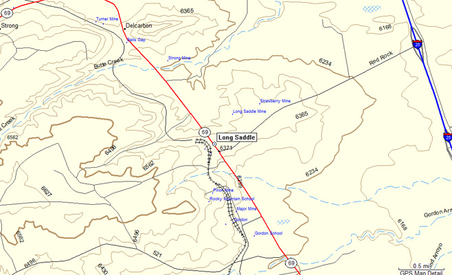
Garmin MapSource |
| Feature Name | ID | Class | County | State | Latitude | Longitude | Ele(ft) | Map | BGN Date | Entry Date |
| Long Saddle | 194238 | Gap | Huerfano | CO | 374139N | 1045132W | 6368 | Walsenburg North | - | 13-OCT-1978 |