
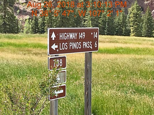
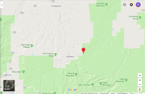
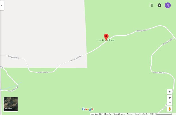
Los Pinos Pass
|
Los Pinos Pass |
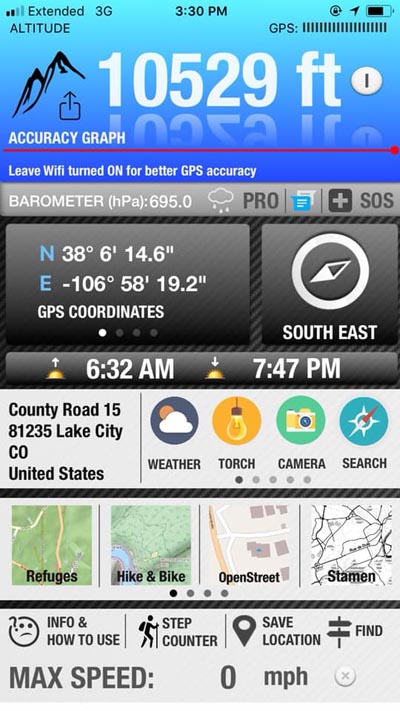
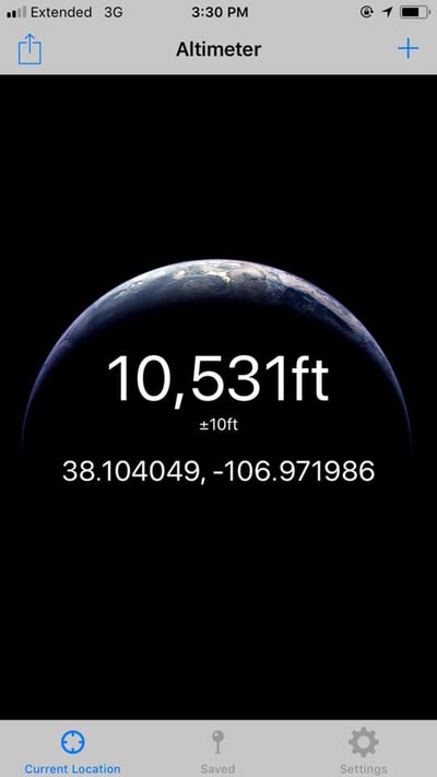
Los Pinos Pass - Saguache County - Colorado - 10,508 feet
Cebolla Creek to west. Los Pinos Creek to east.
FR-788 southwest of Gunnison
gravel - dual sport
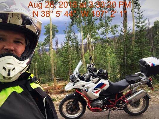
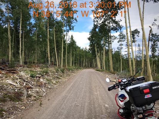
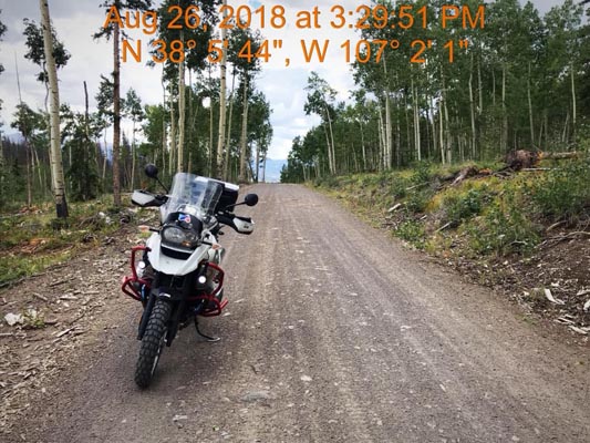
photos by Scott Westfall, 8/26/2018
At the summit. |
At the summit, looking east. |
At the summit, looking west. |
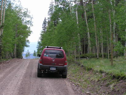
6 miles from the summit. |
At the summit. |
At the summit. |
Google Maps |
Google Maps |
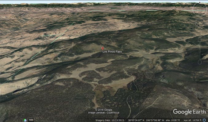
Google Earth |
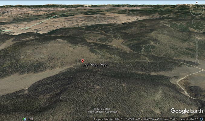
Google Earth |
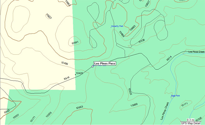
Garmin Mapsource |
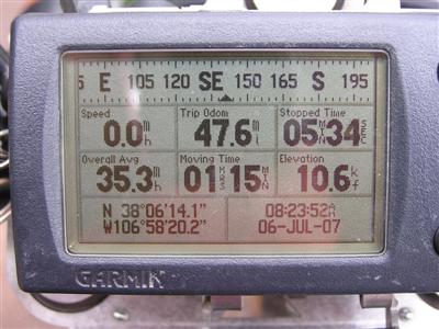
#93 - photos by Randy Bishop, 7/6/2007

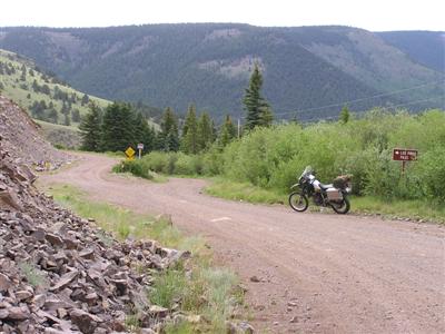
South of Powerhorn. |
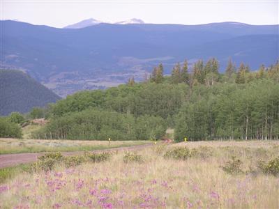
5 miles west of the summit. |

5 miles west of the summit. |
5 miles west of the summit. |

By the sign post at the summit. |

At the summit, looking east. |

At the summit, looking west. |
At the summit. |
Heading west from the summit. |
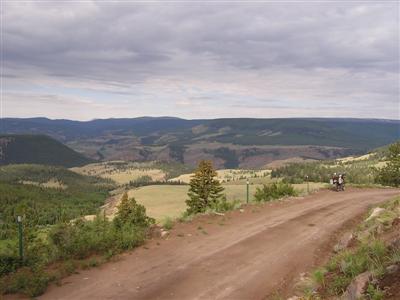
The view west of the summit. |
6/26/2005

The sign post at the summit. |
At the summit, looking west. |
| Feature Name | ID | Class | County | State | Latitude | Longitude | Ele(ft) | Map | BGN Date | Entry Date |
| Los Pinos Pass | 190148 | Gap | Saguache | CO | 380614N | 1065820W | 10508 | Stewart Peak | - | 13-OCT-1978 |