
Mancos Divide
|
Mancos Divide |
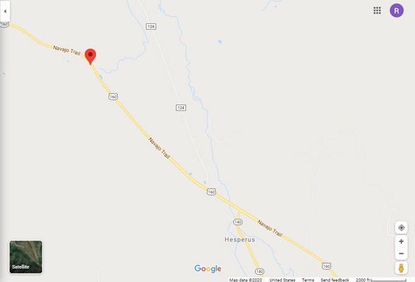
Mancos Divide - La Plata / Montezuma Counties - Colorado - 8,434 feet
La Plata river flows by to the east.
No discernable watershed divide.
On US-160, about 12 miles west of Durango.
paved - road bike
photos by Karst Postma, 9/28/2012
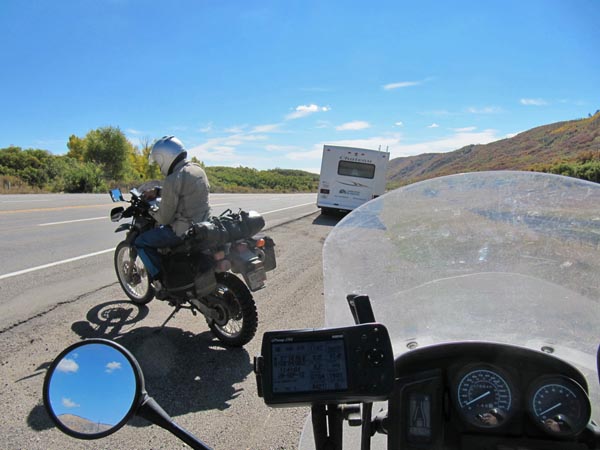
At the summit. |
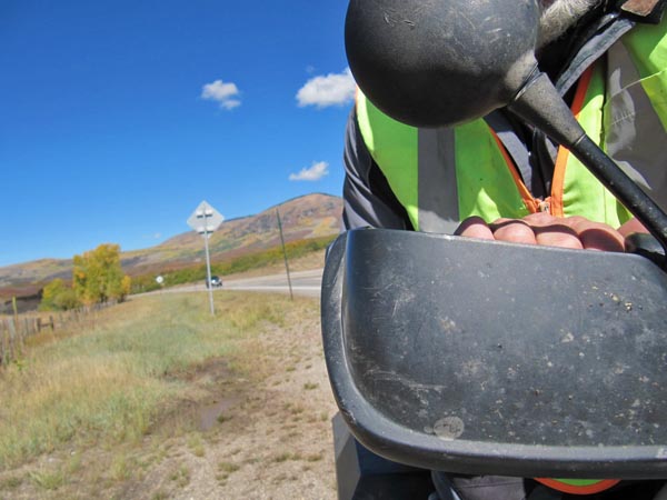
At the summit. |
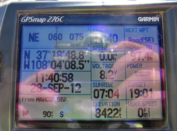
At the summit. |
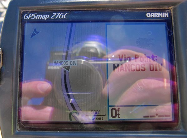
At the summit. |
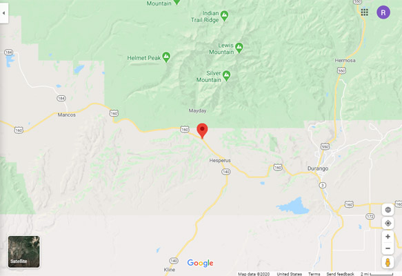
Google Maps |
Google Maps |
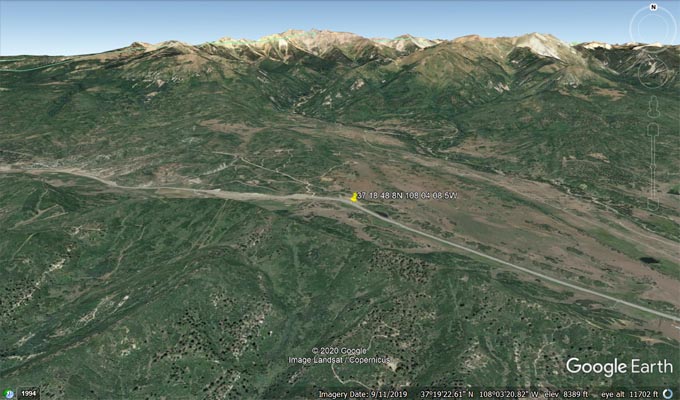
Google Earth |
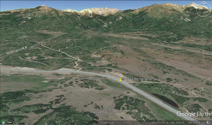
Google Earth |
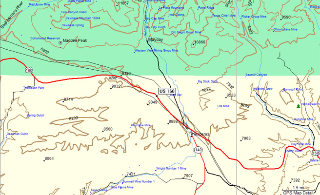
Garmin MapSource |