
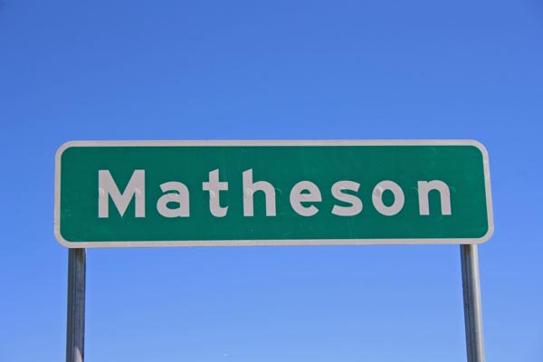
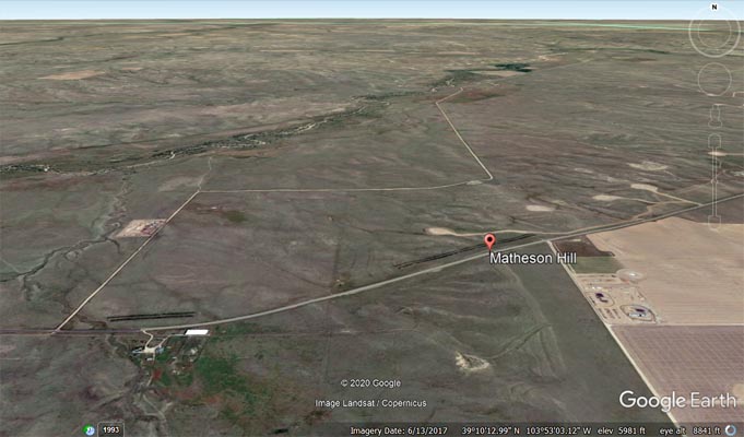
Matheson Hill
|
Matheson Hill |
Matheson Hill - Elbert County - Colorado - 5,960 feet
A roadway summit with no discernable watershed divide or gap.
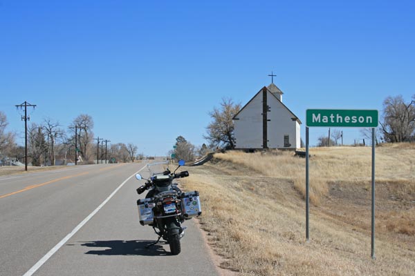
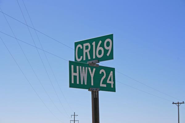
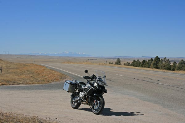
About 11.5 miles southeast of Limon on US-24.
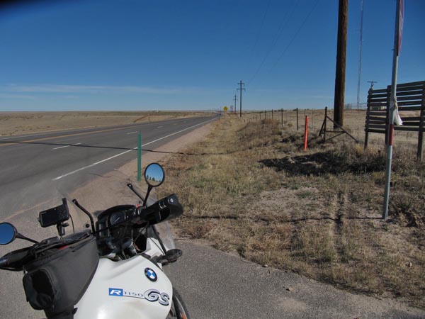
pavement - road bike
#165 - photos by Randy Bishop, 3/4/2020
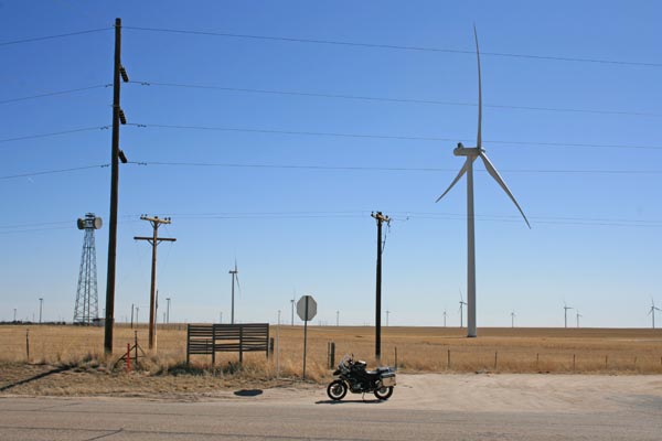
About 5 miles west of the summit. |
About 5 miles west of the summit. |
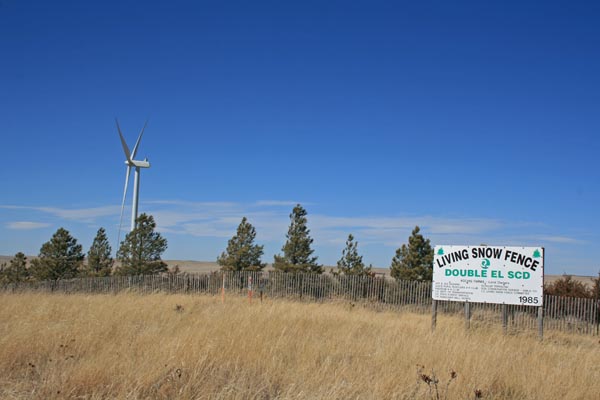
At the summit. |
At the summit, looking southwest. |

At the summit, looking northeast. |
At the summit, looking southeast. |
At the summit, looking northwest. |
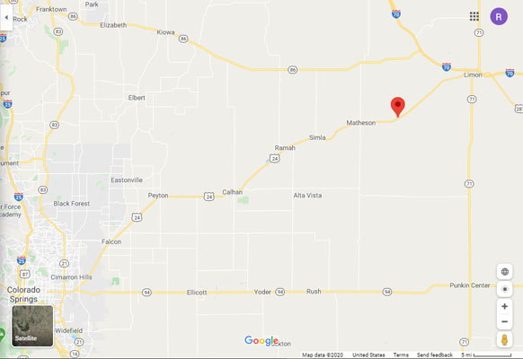
Google Maps |
Google Maps |
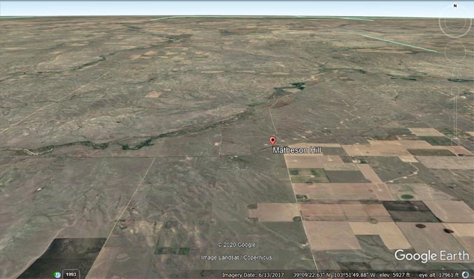
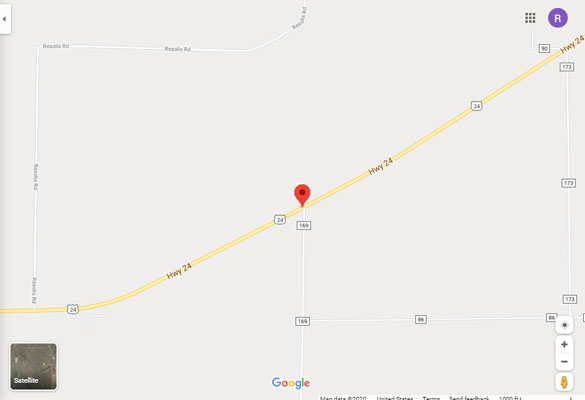
Google Earth |
Google Earth |
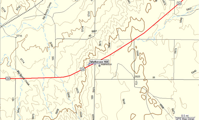
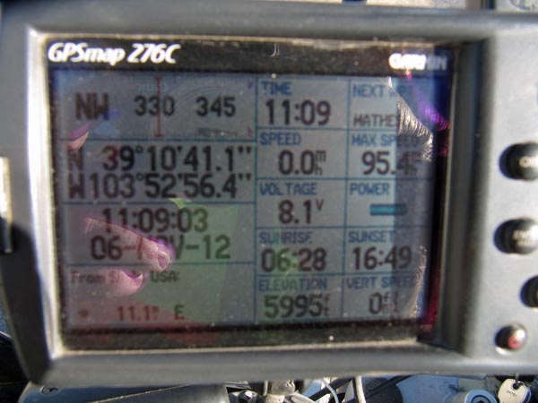
Garmin MapSource |
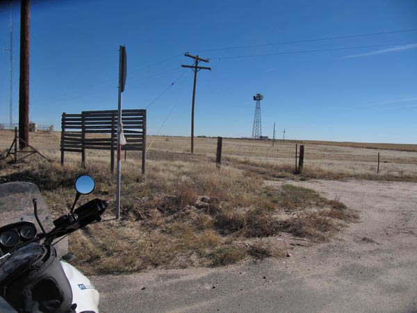
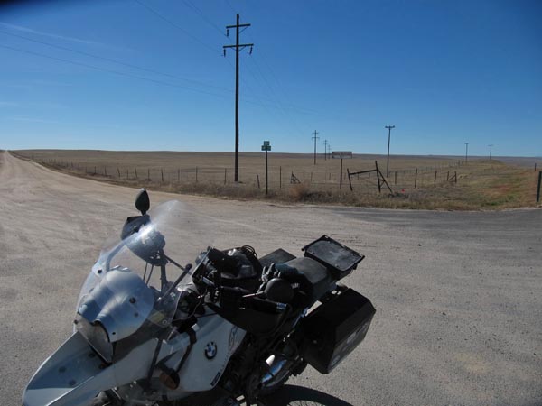
photos by Karst Postma, 11/6/2012

1 mile west of summit. |
At the summit. |
At the summit. |
At the summit. |
At the summit. |
| Feature Name | ID | Class | County | State | Latitude | Longitude | Ele(ft) | Map | BGN Date | Entry Date |
| Matheson Hill | 201780 | Summit | Elbert | CO | 391037N | 1035307W | 5968 | Matheson | - | 13-OCT-1978 |