
McClure Pass
|
McClure Pass |
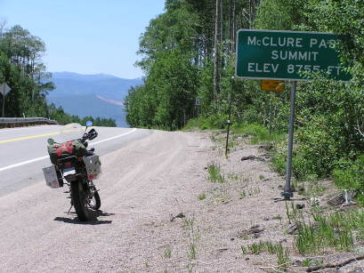
McClure Pass - Gunnison/Pitkin - Colorado - 8,755 feet
Lee Creek to west. Crystal River to east.
CO-133 south of Carbondale
pavement - road bike
photos by Randy Bishop, 07/19/2017
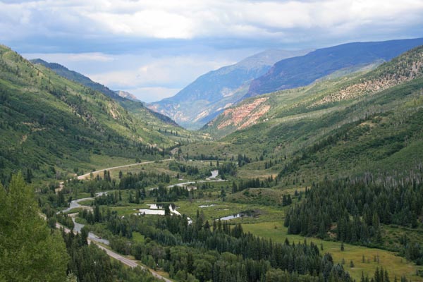
East side of pass, looking north. |
East side of pass, looking east. |
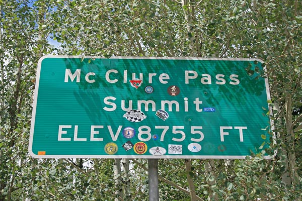
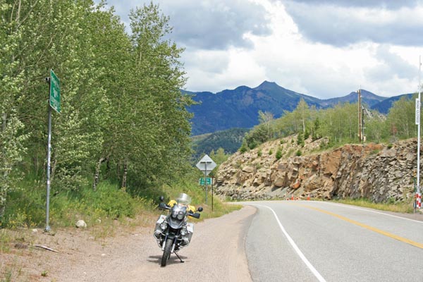
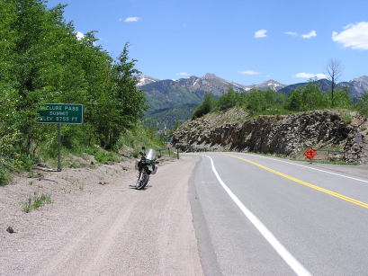
At the summit. |
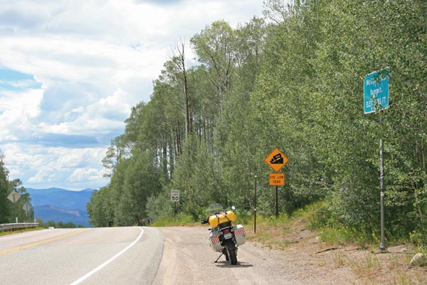
At the summit, looking west. |
At the summit, looking east. |
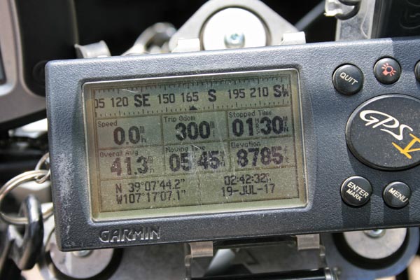
At the summit. |
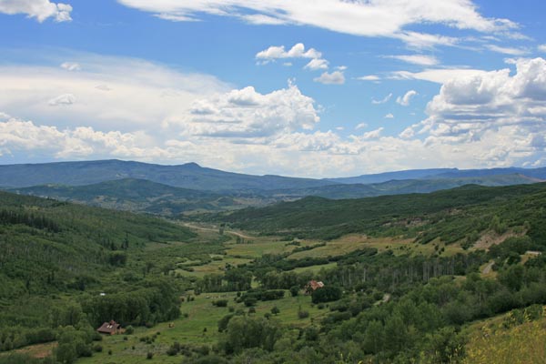
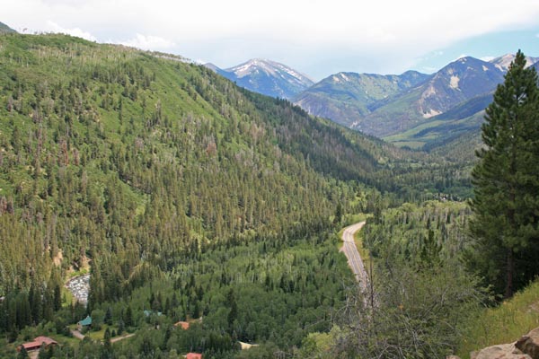
West side of pass, looking south. |
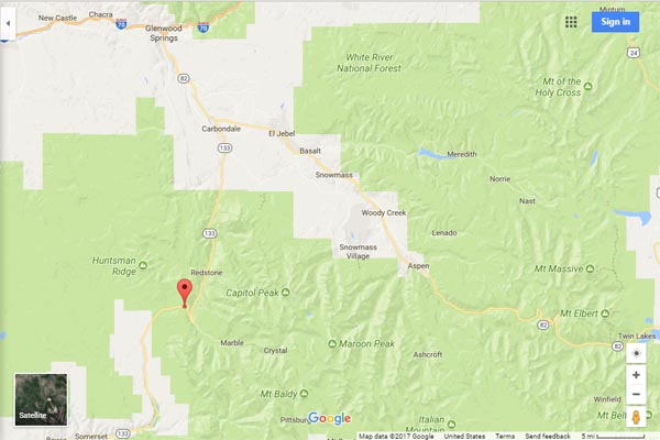
Google Maps |
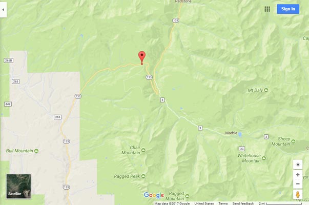
Google Maps |
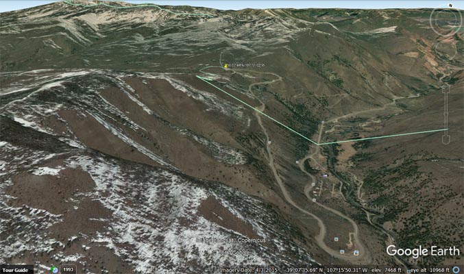
Google Earth |
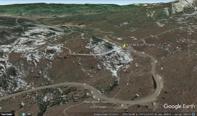
Google Earth, looking west. |

Garmin Mapsource |
#41 - photos by Randy Bishop, 06/12/2006

At the summit. |
At the summit, looking west. |
At the summit, looking east. |
| Feature Name | ID | Class | County | State | Latitude | Longitude | Ele(ft) | Map | BGN Date | Entry Date |
| McClure Pass | 175173 | Gap | Gunnison | CO | 390744N | 1071702W | 8793 | Placita | - | 13-OCT-1978 |