
McCord Pass
|
McCord Pass |
McCord Pass - Eagle County - Colorado - 10,825 feet
Piney River to west. Sheephorn Creek to east.
On Cottonwood Peak Rd (FR-784? FR-442?).
About 12-18 miles south of Trough Rd depending the route taken.
off-road - dirt bike or dual sport
photos by Karst Postma, 7/30/2013
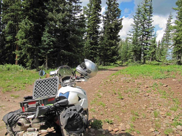
At the summit. |
At the summit. |

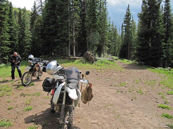
Near the summit. |
Near the summit. |

At the summit. |
At the summit. |
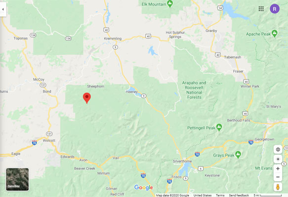
Google Maps |
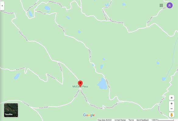
Google Maps |
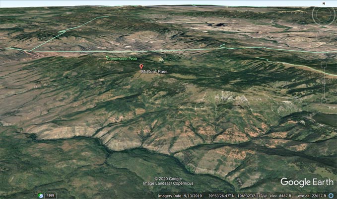
Google Earth |
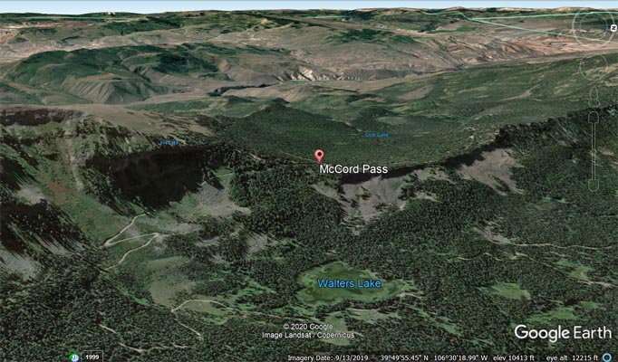
Google Earth, looking west. |
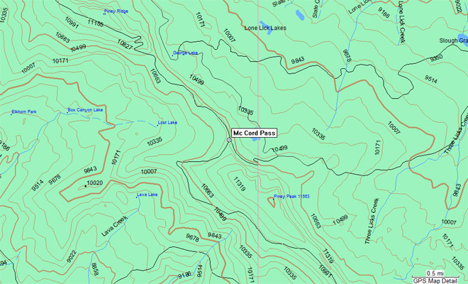
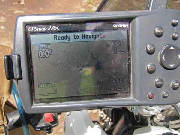
Garmin Mapsource |
photo by Roamin Carloski

At the summit. |
Notes from Karst:
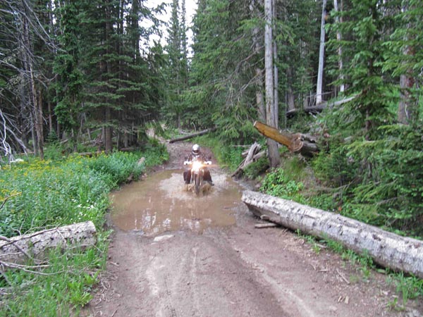
We made it to McCord Pass coming from Trough Rd over FR-401 (Cottonwood Creek Rd). Total distance
a little over 12 miles. The first 11 miles are not very difficult, just tedious, requiring a moderately
capable rider. After a rain there are many water holes, but they have little mud, so no problems there.
The last mile is very rocky and steep. Not recommended for big bikes, except for the very experienced
and low first gear. After going up and down the rocky sections the return trip seems like a highway.
| Feature Name | ID | Class | County | State | Latitude | Longitude | Ele(ft) | Map | BGN Date | Entry Date |
| McCord Pass | 175822 | Gap | Eagle | CO | 394941N | 1063023W | 10814 | Lava Creek | - | 13-OCT-1978 |