
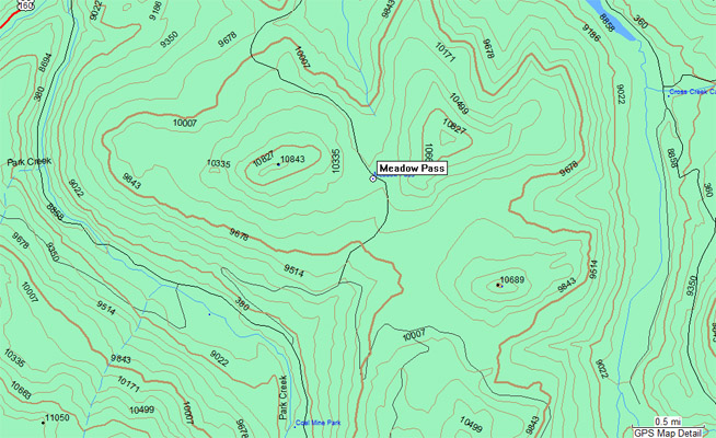
Meadow Pass
|
Meadow Pass |
Meadow Pass - Rio Grande County - Colorado - 10,220 feet
Tewksberry Creek to the north. Park Creek to the south.
South of South Fork, via US-160, FR-380, FR-361 and Forest Service Trail 842 (Tewksberry Trail).
double track - dirt bike
photos by John Meyer, 9/28/2018
At the summit, looking north. |
At the summit, looking east. |
At the summit, looking south. |
At the summit, looking west. |
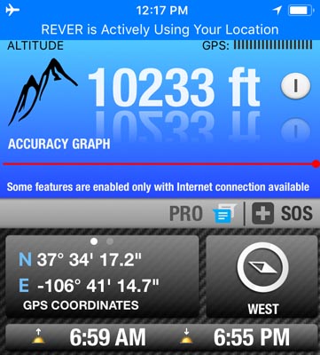
At the summit. |
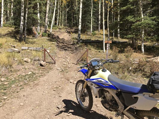
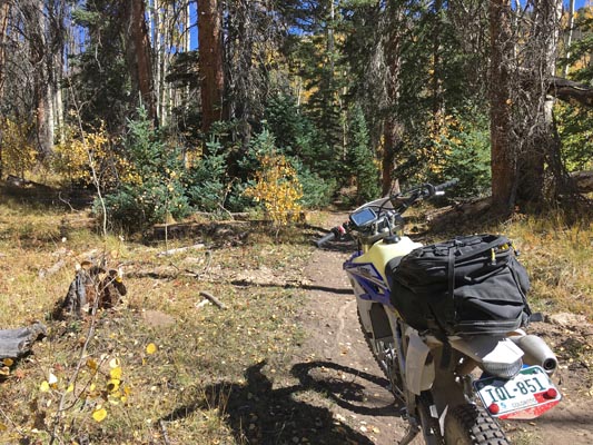
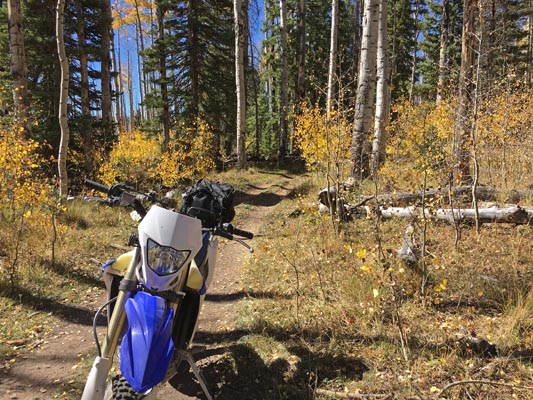
At the Tewksberry Trail trailhead. |

At the Tewksberry Trail trailhead. |
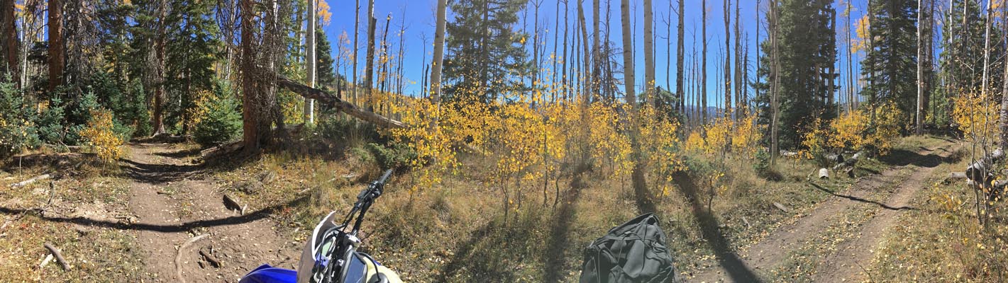
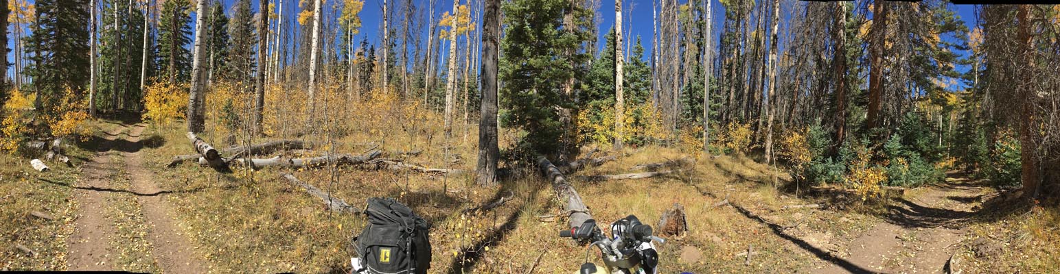
Near the summit. |
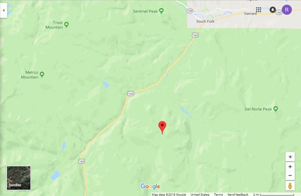
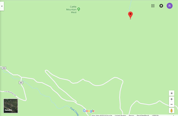
Google Maps |
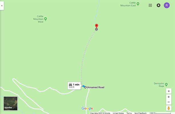
Google Maps |
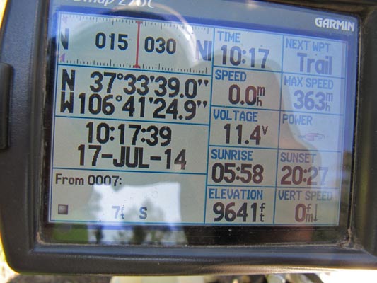
Tewksberry Trailhead 37 33 39.2N 106 41 24.5W |
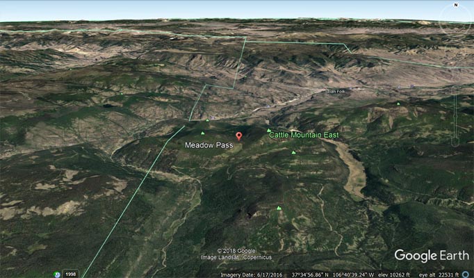
Google Earth |
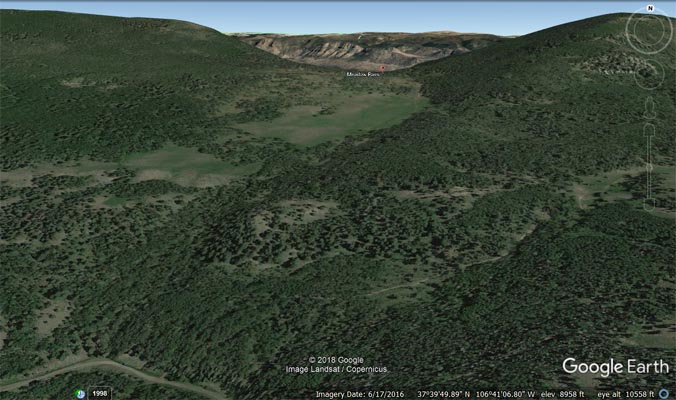
Google Earth |
Garmin Mapsource |
photos by Karst Postma, 07/17/2014
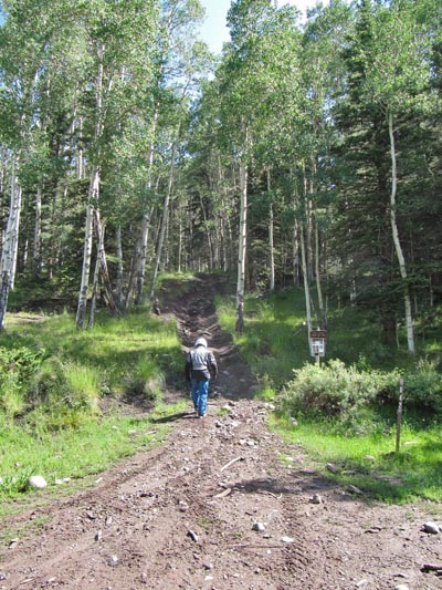
At the Tewksberry Trail trailhead. |
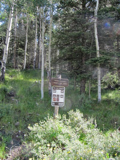
At the Tewksberry Trail trailhead. |
At the Tewksberry Trail trailhead. |
Notes from Karst: Shu and I were in the neighborhood. From the east we could not get there due to gates and private property issues.
From the west it is possible as Curtis showed. We stopped well short, at the start of a trail. We decided it was too difficult for us
and, if I remember correctly, too wet and slippery. Or maybe too rocky. There is also a possibility to go cross country north of the trail.
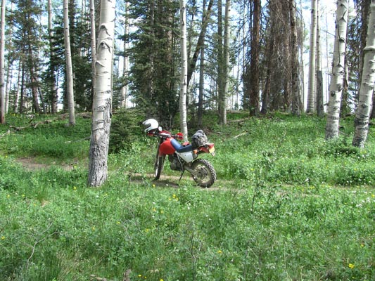
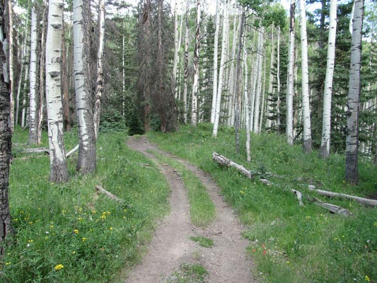
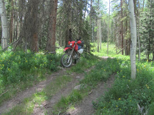
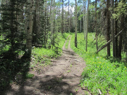
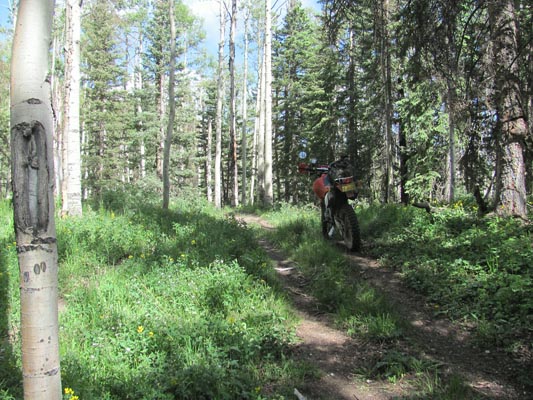
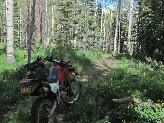
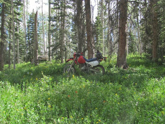
photos by Curtis Kohl, 06/29/2014
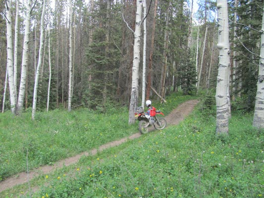
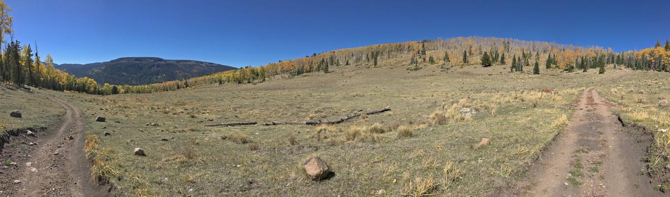
On the Tewksberry Trail, 4:21 PM. |
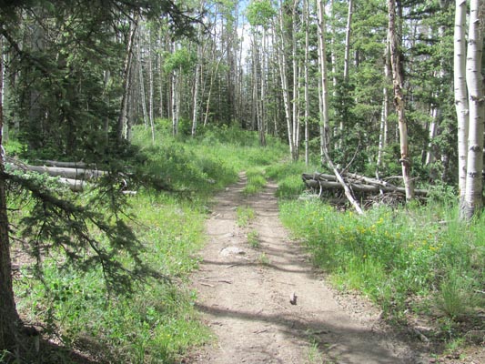
On the Tewksberry Trail. |
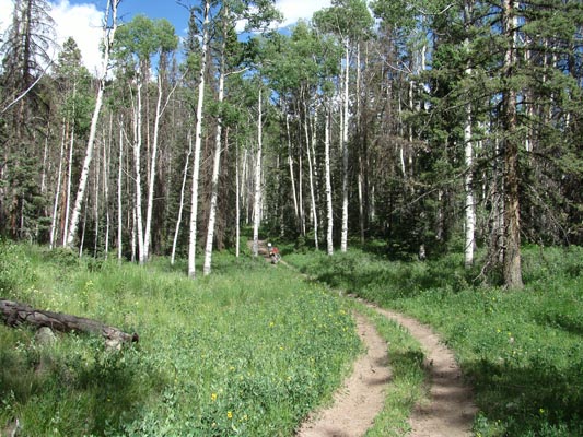
On the Tewksberry Trail. |
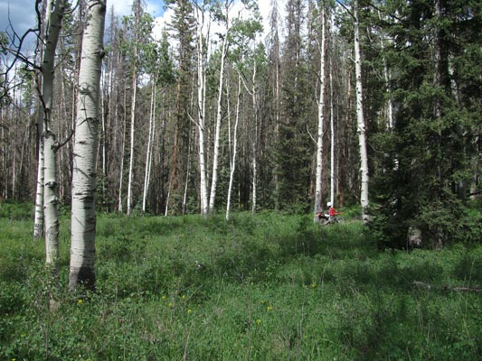
On the Tewksberry Trail. |
On the Tewksberry Trail. |
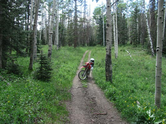
On the Tewksberry Trail. |
On the Tewksberry Trail. |

On the Tewksberry Trail, 4:21 PM. |
At the summit, 4:27 PM. |

At the summit. |
At the summit. |
At the summit. |
At the summit. |
At the summit. |
Notes from Curtis: The access I took was from US-160 to FR-380 to FR-361 to Trail-842 to access the pass from the south. It was
about 1.7 miles from FR-361 to the pass on the Tewksberry Trail which is an ATV width trail. As noted by Karst, the entrance to the trail
is fairly rocky for a short distance and then there is another rocky section about 1/3 of the way in but pretty short. After that it is
relatively easy to the summit. I did not go down the north side, just bagged the pass and returned.
| Feature Name | ID | Class | County | State | Latitude | Longitude | Ele(ft) | Map | BGN Date | Entry Date |
| Meadow Pass | 190338 | Gap | Rio Grande | CO | 373418N | 1064115W | 10220 | Beaver Creek Reservoir | - | 13-OCT-1978 |