
Medano Pass
|
Medano Pass |
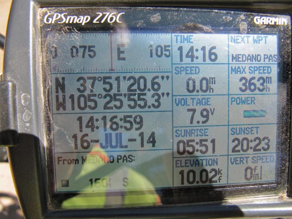
Medano Pass - Huerfano / Saguache Counties - Colorado - 10,030 feet
Medano Creek to west. South Muddy Creek to east.
Other names: Madenos, Pike's Gap, Sandhill, Sand Hill, Williams
Southwest of Westcliffe via CO-69, CR-559 and FR-559.1
East side: gravel - dirt bike or dual sport. West side: sand, water crossings - dirt bike.
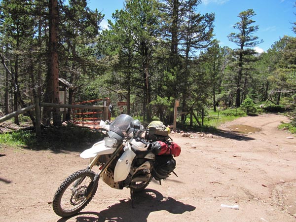
photos by John Meyer, 7/4/2017
At the summit. |

At the summit. |
At the summit. |
At the summit. |
At the summit. |
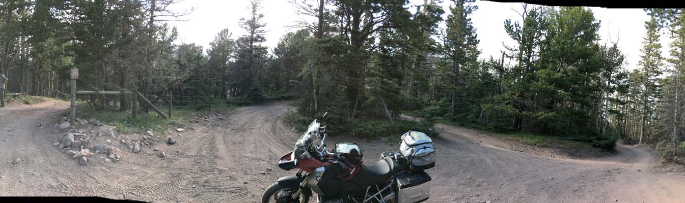
At the summit. |
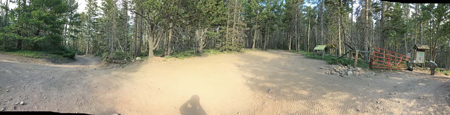
At the summit. |
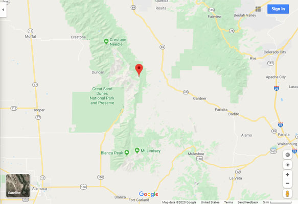
Google Maps |
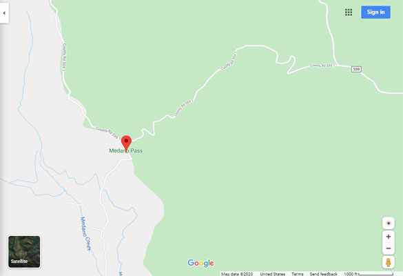
Google Maps |
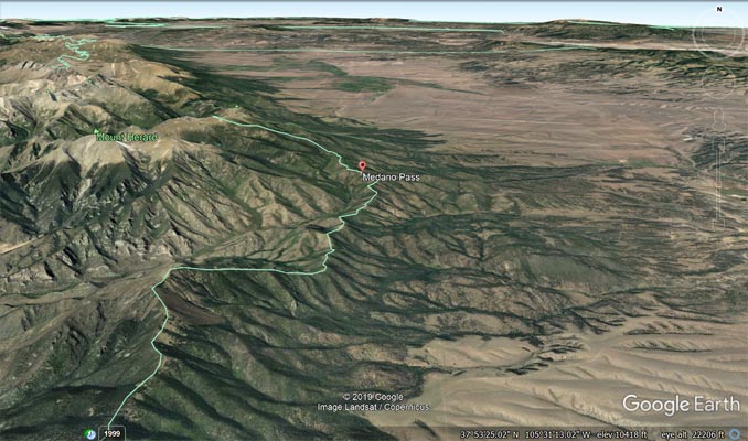
Google Earth |
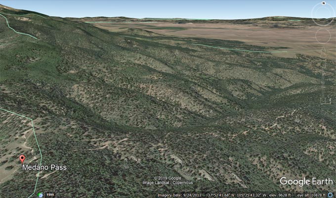
Google Earth |
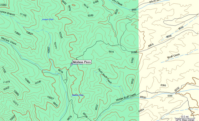
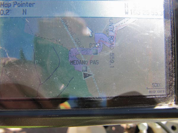
Garmin Mapsource |
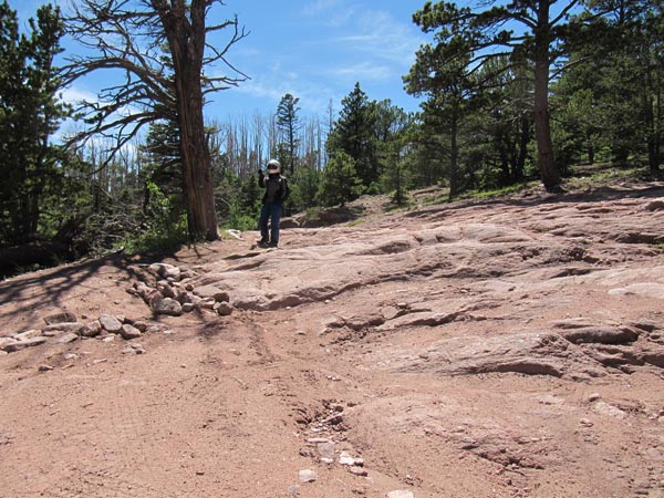
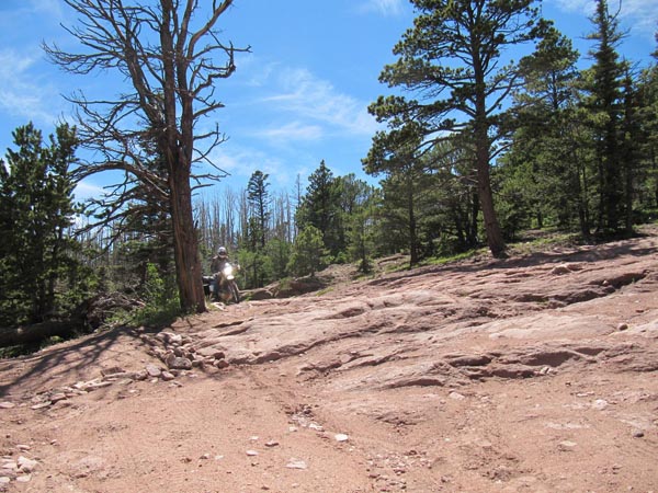
photos by Karst Postma, 7/16/2014
At the summit. |
At the summit. |
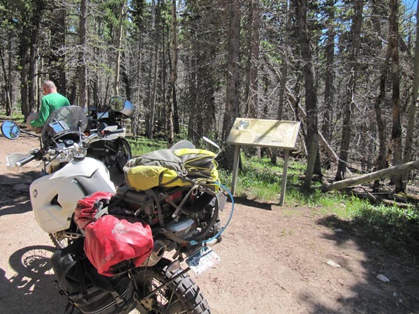
At the summit. |
At the summit. |
At the summit. |
Heading back down. |
Heading back down. |
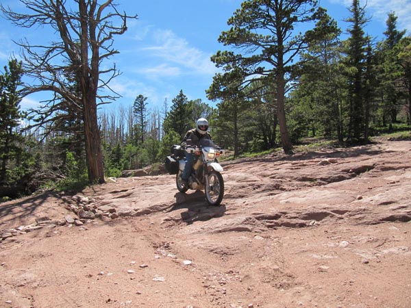
Heading back down. |
Note from Shu: That bit of rock (in the above photos) where I bottomed my forks out is a whole lot
steeper and bigger than the pictures make it look. It is definitely an obstacle."
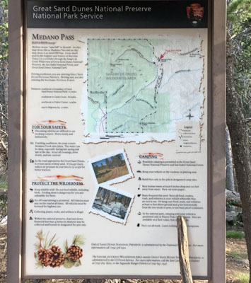
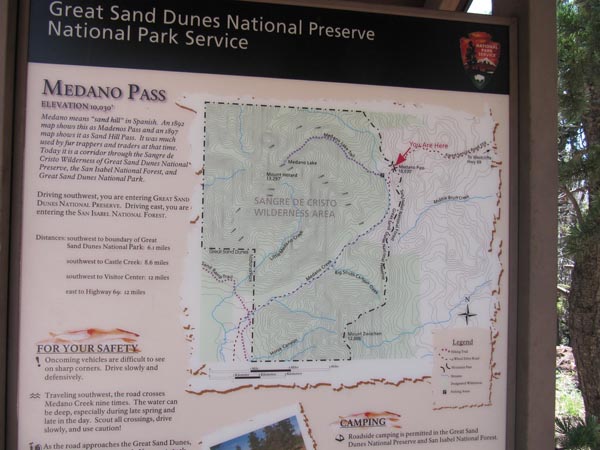
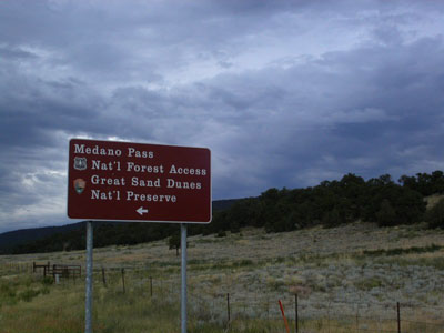
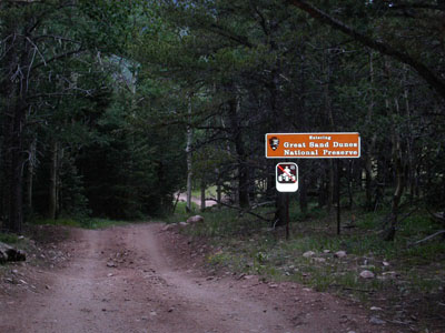
The sign includes: "Distances: Southwest to boundary of Great Sand Dunes National Park 6.1
miles. Southwest to Visitor Center 12 miles."
"Traveling southwest, the road crosses Medano Creek nine times. The water can be deep,
especially during late spring and late in the day."
For more information about traveling the Medano Pass Primitive Road to or from Great Sand Dunes NP
click here.
photo by Roamin Carloski

At the summit. |
photos from Deward Knapp, 7/24/2005
East of the summit. |
At the summit. |

At the summit. |
| Feature Name | ID | Class | County | State | Latitude | Longitude | Ele(ft) | Map | BGN Date | Entry Date |
| Medano Pass | 192573 | Gap | Saguache | CO | 375122N | 1052558W | 9980 | Medano Pass | - | 13-OCT-1978 |